
Along the Xixarra Greenway
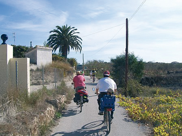
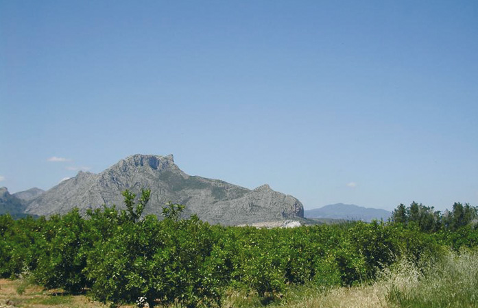
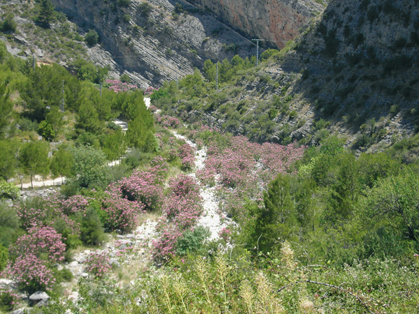
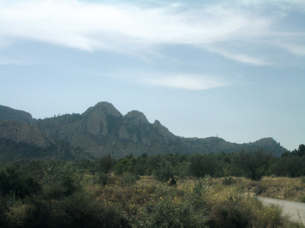
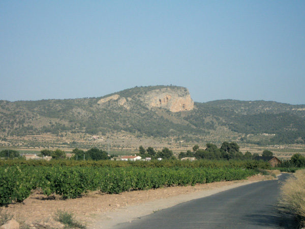
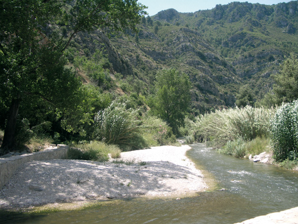
We will pedal in the first part of this route along the platform of the extinct train line that operated between Yecla and ViIllena, the popular Xixarra, reconverted today into a Greenway. This greenway includes the environmental itinerary of Miramontes, a short but interesting route that takes us close to the Pe–alva salterns and will help us know the geology and the various plant species that live in this semi-arid area. After a visit to the site and the Sanctuary of Las Virtudes, the route takes place between fields and large farm houses, where we will feel charmed by silence and solitude. Later on, we will get next to a peculiar town, (la Colonia de Santa Eulalia) and we will stop before arriving to Sax, in the recreational area of El Plano, where another itinerary clearly signposted introduces us to the geology of the scrubland.
Itinerary
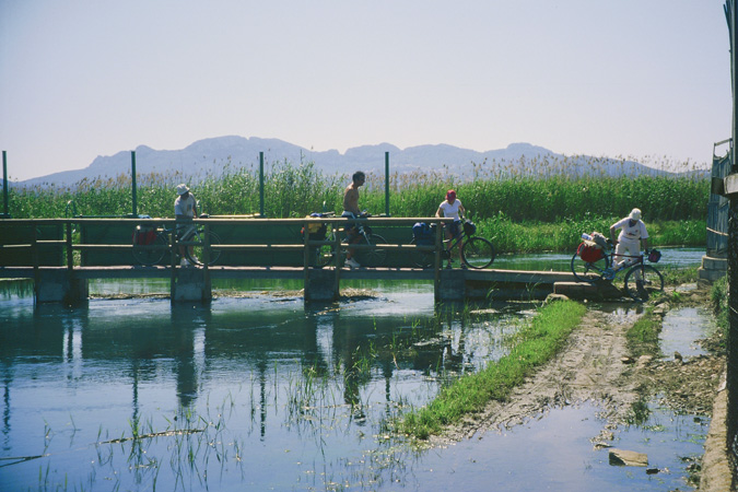
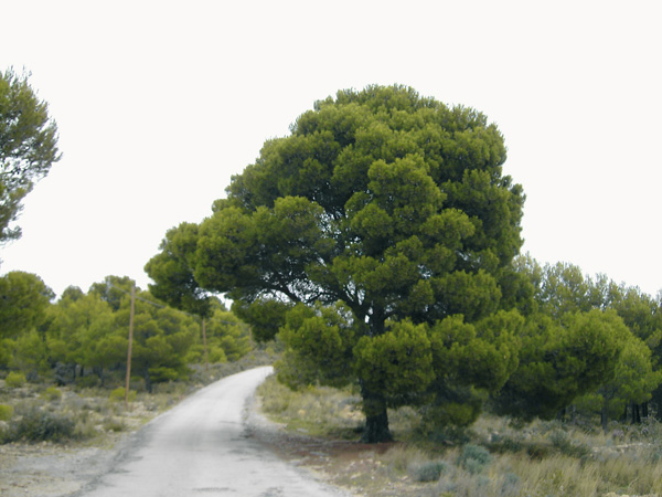
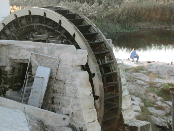
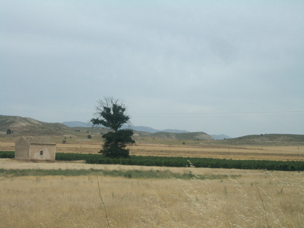
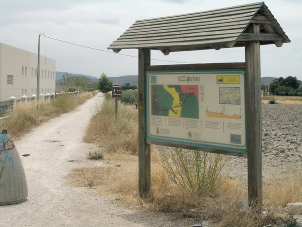
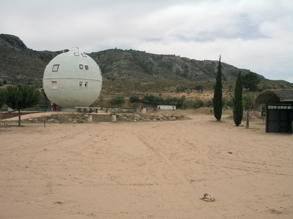
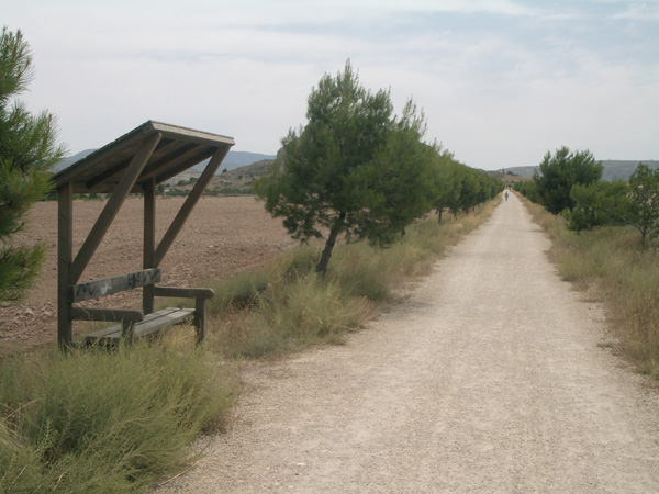
In order to go to the beginning of the route, we go out of Villena along the road Yecla-Caudete and, opposite the Repsol petrol station, we take the Pinoso detour. Few metres afterwards, we will see an information panel of the Greenway on the right, where we will set the distance meter to 0. The way is made of compacted earth, and has benches and pine trees that will yield a pleasant shade when they grow up. We will leave past the Hermitage of San Bartolomé (2.00), which has a small resting place with a fountain. A little bit further (2.47) we will find the signpost of Miramontes environmental itinerary, which we will follow on the left leaving the greenway for a while. We find a track on the left (3.46), leading to the salterns, but we keep on the left in the direction of Las Virtudes. We will sea a recreational area on the left for children with a spherical house, horses and various attractions (6.93). On reaching the small stopping place of Las Virtudes (7.24), we turn right to head for the Sanctuary and to the recreational area of the Fuente del Chopo. At the end of the dirt road, in the Fundación de Nuestra Se–ora de las Virtudes street (7.70), we stop the distance meter to visit this site.
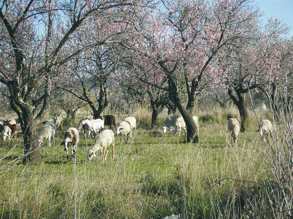
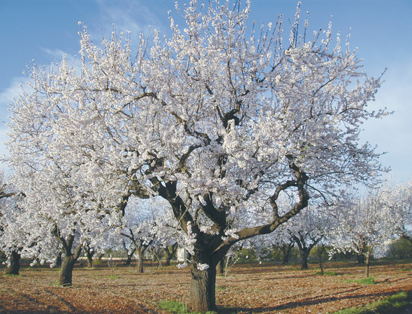
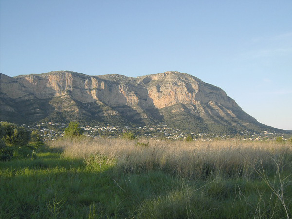
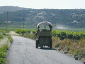
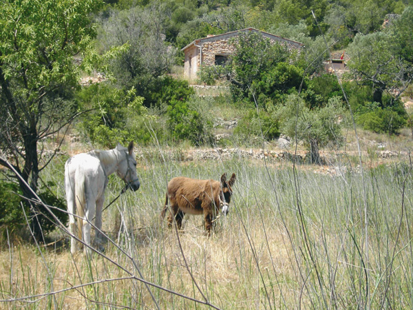
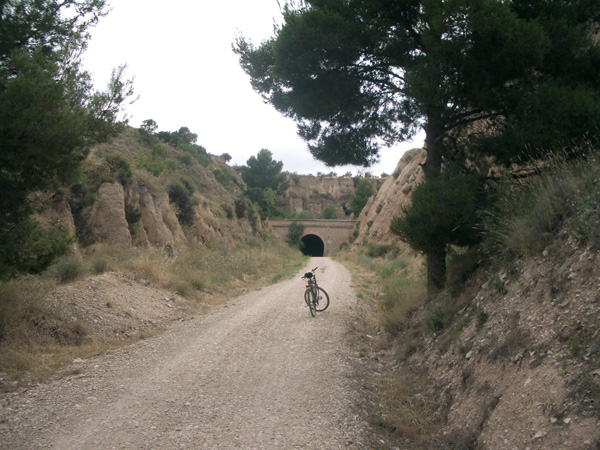
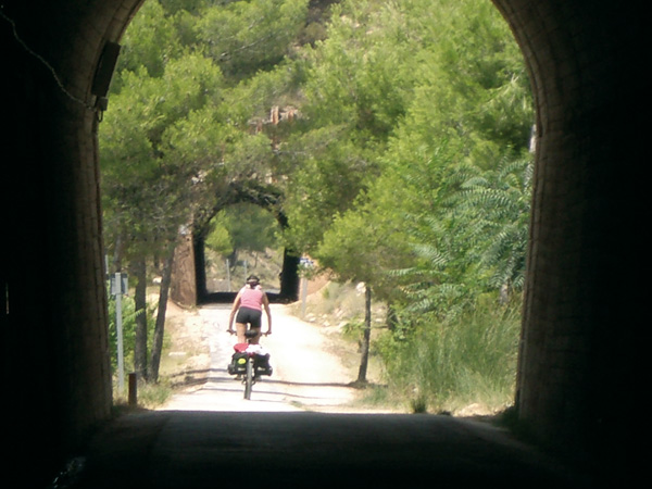
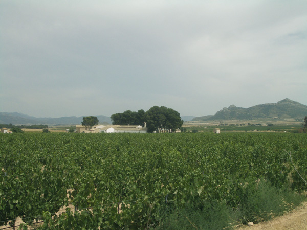
We resume the route on the point where we stopped the distance meter and we go back to the stopping place to continue on the left, for a while, in the direction of Villena. We reach a Stop signpost (9.47) and some metres ahead we take an asphalted way on the right with a road sign banning the access to vehicles over 10 tons. We will ride in the next kilometres across lonely fields with vines and large farm houses, some almost in a state of semi-abandonment, to be usually found under the cover of small pine tree groves which pepper the horizon. We have an example of this on the right (12.56) with the "Mas de San José". We go on peacefully, enjoying the plain between the several hills that surround us. We reach a Stop signpost (13.55) and we go on straight ahead on the country lane that we have opposite us. We go into the first asphalted way on the left (14.42), even quieter than the former one and we leave behind "Mas de San Jordi" (15.28). We reach a Stop signpost (15.70) and we keep to the left. We reach a hillock (16.00) over a cemented canal from which we will be able to see the entire valley. We leave an asphalted way on the left (16.64) and we keep straight. We leave the way leading to El Plano (18.90) and we follow the bend on the left to head for the Colonia de Santa Eulalia. We stop the distance meter at the door of the bar "Casinete" (19.69). To go on, we will exit retracing the route we had come along previously and we take the first way on the left (20.00). After reaching a stop signpost (20.35), we follow the direction to El Plano. After a gentle way up, we arrive at this place which is flat, as its name states, and from there we start peering at the silhouette of the castle of Sax. We can see a way on the left (22.91) which leads to the wonderful recreational area of El Plano (if we want to visit it, we stop the distance meter here as the route keeps straight ahead), and which the Diputación de Alicante has equipped with a Visitors' Centre, toilets, shelters and other facilities. Moreover, it has a signalled itinerary to become familiar with the geology of the mountains. We reach a Stop signpost (23.34) and we keep to the left. After a gentle way down and in the odour of pine trees, we enter Sax on its south part (24.51). Trains operate on a low frequency at Sax. If we ride some 11 km more along the route, we can go back to Villena and then make a circular tour. To do so, we will leave the Red Cross stand located in Jaume I street, following the directions to the eco-park. Before reaching the bridge, we will follow the directions to the castle to the left, and then we take the first way on the right. From there on, we will follow the yellow arrows of the Jacobean Way which will lead us as far as Villena, leaving past the Colonia de Santa Eulalia.
Beginning of the route
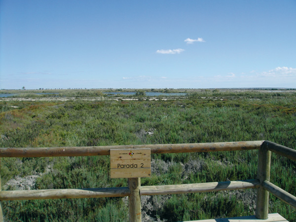
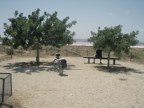
Recreational area.
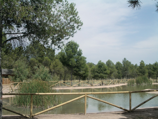
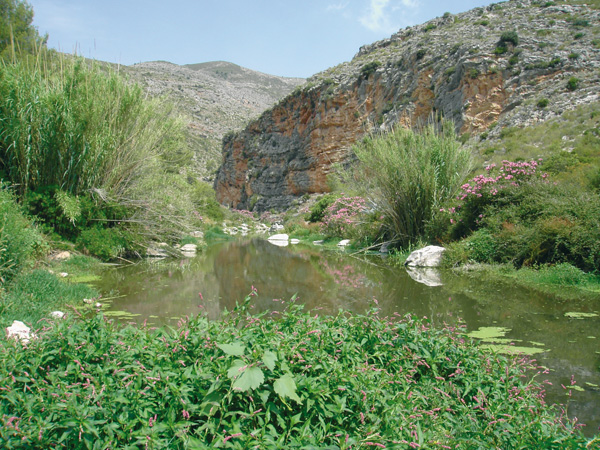
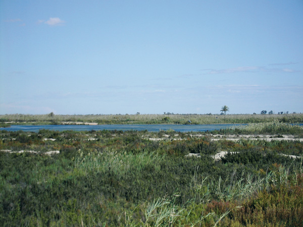
La Charca. El Plano.
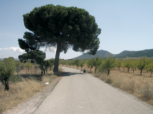
The Chicharra Greenway.