nature, Costa Blanca
Trails by Bike

Trails by Bike

(Information from the year 2010)

If something characterizes the province of Alicante is its diverse landscape, towns and cultural traditions, attracting thousands of visitors throughout the year, and making our region a first-class tourist destination.

Foreword

If something characterizes the province of Alicante is its diverse landscape, towns and cultural traditions, attracting thousands of visitors throughout the year, and making our region a first-class tourist destination.

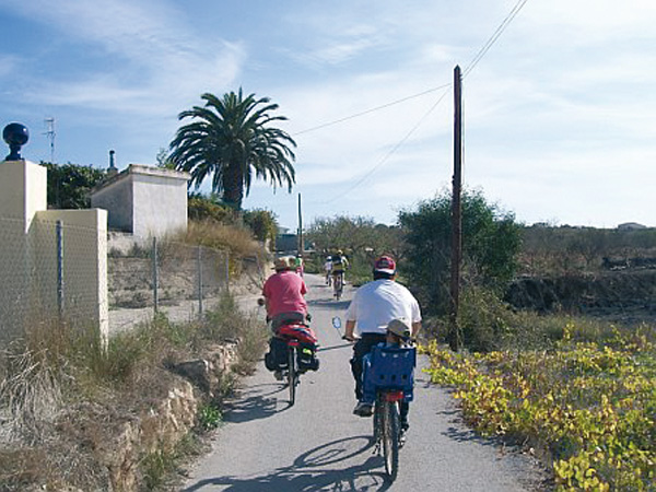
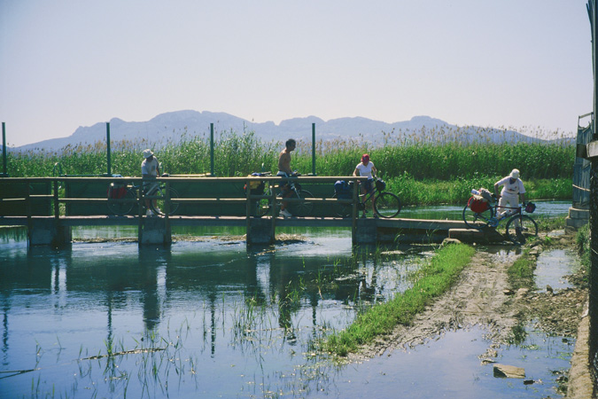
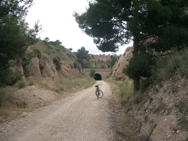
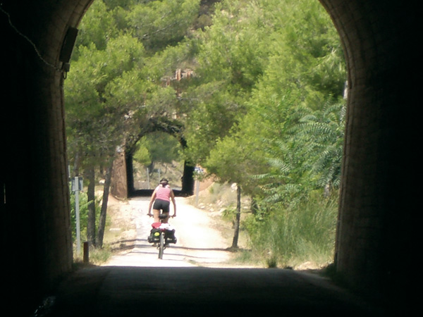
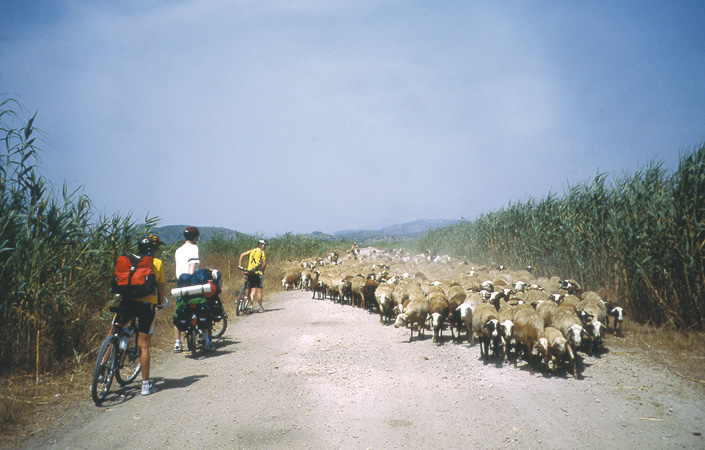
On this new issue of the Trails collection that I have the pleasure of presenting to you, we propose a different form of tourism, a more environmentally-friendly, fun and healthy one. The idea is to discover Alicante on a bicycle.

There is no need to be elite athletes or have a top physical shape. We only wish you to enjoy a series of itineraries designed and selected for their beauty and simplicity.

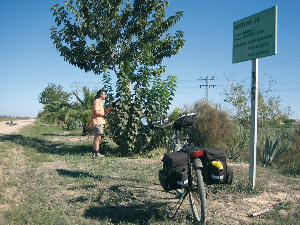
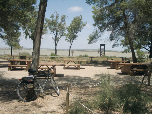
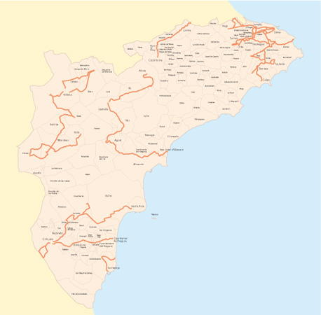
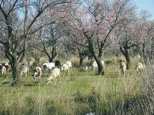
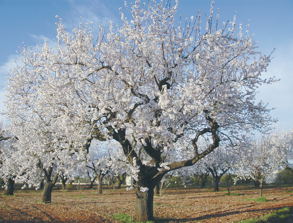
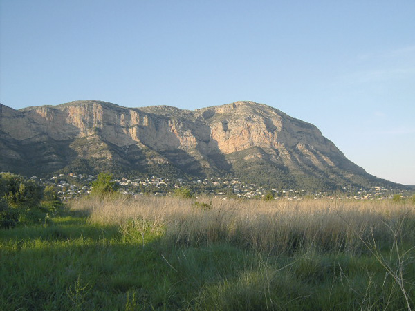
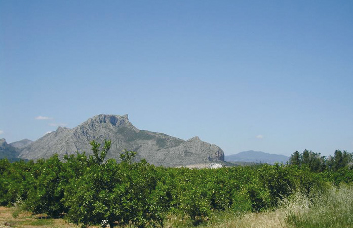
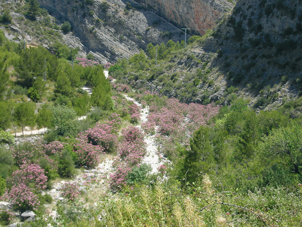
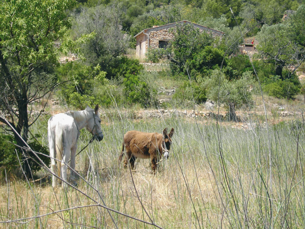
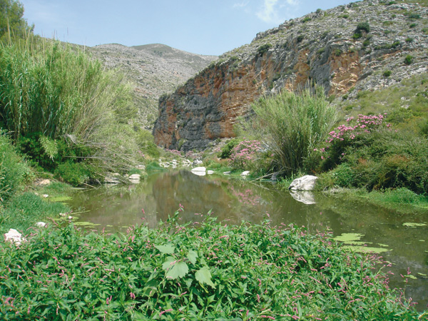
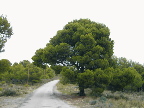
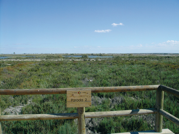
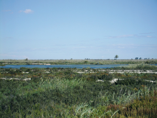
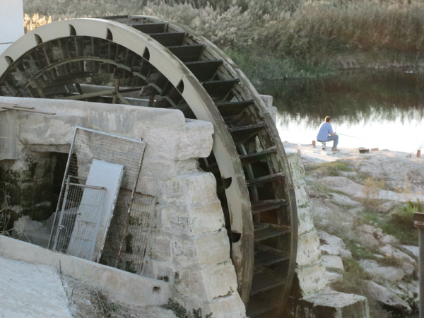
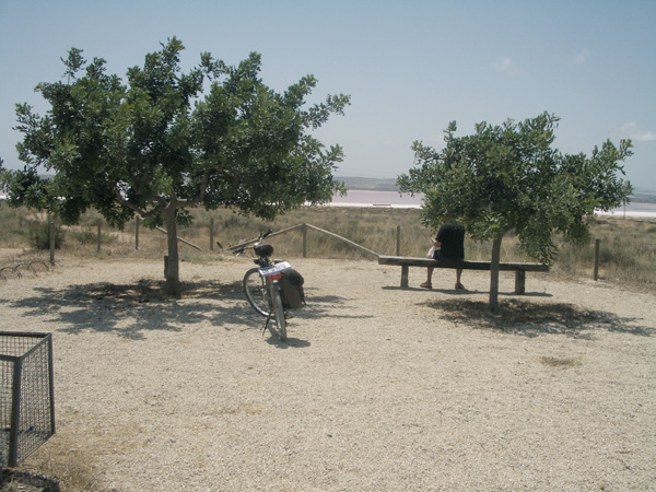
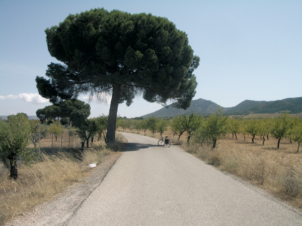
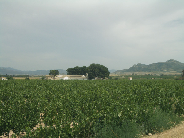
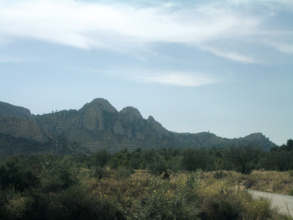
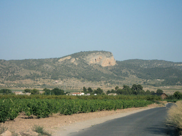
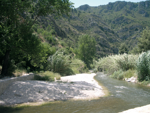
From the prairie to the mountain, 24 itineraries will bring you closer to unique and well preserved natural places, towns that have managed to maintain their enthralling features through time, thanks to the work and warmth of their people.

It is a different kind of travelling indeed cleaner and more environment-aware, and without the stress brought about sometimes by the car. All in all, a more sustainable kind of tourism.

Cycling along the roads of Alicante will allow us to have a clearer vision of the reality of our province, where the economical and social development of our people meets the respect for the traditions and the past.

On behalf of the Diputacion de Alicante and through these pages we would like to invite you then to pedal away throughout our region. Either if you are a beginner or an experienced cyclist, you will find enough attractions to enjoy unforgettable journeys. That is at least our intention.

May this guide serve also for promoting the use of the bicycle as a vehicle that provides a magnificent opportunity to become familiar with and enjoy, in a healthy and sustainable way, all the natural and cultural treasures of our land. I hope that you will enjoy and put it into practice. Happy trails!

Information
undefined
intro1.jpg
Introduction
guia.jpg
How to use this guide
encabezado-consejos.jpg
Advice
Guide of towns and places of interest
Itinerary Map
undefined
The Routes
undefined
encabezado-teulada.jpg
Teulada - Teulada
Route 1
Slope: 100 m.
Distance: 7,15 km.
Terrain Type: 5,23 km asphalt and 1.92 km earth.
encabezado-ruta2.jpg
Gata de Gorgos - Font de La Rana - Olivo milenario - Jesús Pobre - Gata de Gorgos
Route 2
Slope: 80 m.
Distance: 13,02 km.
Terrain Type: 10.41 km asphalt and 2.61 km earth
encabezado-ruta3.jpg
La Xara Station - Pedreguer - Pamis - Ondara La Xara Station
Route 3
Slope: 60 m.
Distance: 22,02 km
Terrain Type: 19.81 km asphalt and 2.21 km dirt.
encabezado-ruta4.jpg
Dénia - Jesús Pobre - Jávea - Dénia (return by boat)
Route 4
Slope: 100 m.
Distance: 22,11 km.
Terrain Type: 19.11 km asphalt y 2,13 km earth.
encabezado-ruta5.jpg
Dénia - Els Poblets - El Verger - Beniarbeig - Pamis - Ondara - Dénia
Route 5
Slope: 45 m.
Distance: 25,60 Km.
Terrain Type: 23.40 km asphalt y 2.20 km earth.
encabezado-ruta6.jpg
Dénia - El Verger - Pego - Parque Natural de El Marjal de Pego-Oliva - El Verger - Dénia
Route 6
Slope: 60 m.
Distance: 50,15 km.
Terrain Type: 36.45 km asphalt and 13.70 km earth.
encabezado-ruta7.jpg
Dénia - Ondara - Beniarbeig - Tormos - Pantano de Isbert - Orba - Pamis - Ondara - Dénia
Route 7
Slope: 250 m
Distance: 49,21 km.
Terrain Type: 39.36 km asphalt y 9.85 km earth.
encabezado-ruta8.jpg
Dénia - Gata de Gorgos - Jalón - LLíber - Senija - Benissa
Route 8
Slope: 250 m.
Distance: 33,11 km.
Terrain Type: 26.48 km asphalt and 6.63 km earth.
encabezado-ruta9.jpg
Benissa - Gata de Gorgos
Route 9
Slope: 150 m.
Distance: 13,76 km.
Terrain Type: 10.55 km asphalt and 3.21 km earth.
ruta10-encabezado.jpg
Gata de Gorgos - Jalón - Llíber - Senija - Gata de Gorgos
Route 10
Slope: 200 m.
Distance: 26,13 km.
Terrain Type: 15.67 km asphalt, 10.46 km earth.
encabezado-ruta11.jpg
Calpe - Pinos - Benissa
Route 11
Slope: 350 m.
Distance: 23,55 km.
Terrain Type: 18.84 km asphalt, 4.71 km earth
encabezado-ruta12.jpg
Orihuela - Cox - Albatera - San Isidro - Parque Natural de El Hondo - Estación de Crevillent
Route 12
Slope: 50 m.
Distance: 32,67 km.
Terrain Type: 31 km asphalt and 3 km earth.
encabezado-ruta13.jpg
Tabarca - Santa Pola - Salinas de Santa Pola Natural Park - El Hondo Natural Park
Route 13
Slope: 60 m.
Distance: 38,38 km.
Terrain Type: 25.46 km asphalt and 10.92 km earth.
encabezado-ruta14.jpg
Orihuela - Guardamar del Segura - Orihuela
Route 14
Slope: 30 m.
Distance: 28,53 km (ida)
Terrain Type: 0.53 km asphalt and 28 km earth.
ruta15-encabezado.jpg
Orihuela - Beniel - Orihuela
Route 15
Slope: 40 m.
Distance: 19,97 km.
Terrain Type: 10.20 km dirt and 8.70 km asphalt.
ruta16-encabezado.jpg
Natural Park of Lagunas de La Mata y Torrevieja - Salinas green way - Torrevieja
Route 16
Slope: 50 m.
Distance: 13,60 km.
Terrain Type: 2.85 km asphalt and 10.75 km dirt.
ruta17-encabezado.jpg
Xixarra GReen way: Villena - Biar - Beneixama - Campo de Mirra - Cañada - Villena
Route 17
Slope: 200 m.
Distance: 36,08 km.
Terrain Type: 27.39 km asphalt and 8.69 km earth
encabezado-ruta18.jpg
Xixarra green way: Villena - Las Virtudes - Santa Eulalia - Sax
Route 18
Slope: 90 m.
Distance: 25,51 km.
Terrain Type: 17.31 km asphalt & 8.20 km earth.
ruta19-encabezado.jpg
Sax - Salinas - Pinoso
Route 19
Slope: 130 m.
Distance: 38,39 km.
Terrain Type: 27.21 km asphalted and 11.18 km earth.
encabezado-ruta20.jpg
Pinoso - Monóvar - Elda
Route 20
Slope: 160 m.
Distance: 31,18 km.
Terrain Type: 26.28 km asphalt and y 4.90 km earth.
encabezado-ruta21.jpg
Sant Joan d’Alacant - Santa Faz - San Vicente del Raspeig - Agost - Castalla
Route 21
Slope: 675 m.
Distance: 60,64 km.
Terrain Type: 34.61 km asphalted and 26.03 km earth.
encabezado-ruta22.jpg
Castalla - Ibi - Alcoy
Route 22
Slope: 290 m.
Distance: 30,03 km.
Terrain Type: 16.07 km asphalted & 13.96 km earth
encabezado-ruta23.jpg
Cocentaina - Muro de Alcoy - Gaianes - Beniarrés - Lorcha - Villalonga - Potríes - Beniflá - Beniarjó - Real de Gandía - Gandía
Route 23
Slope: 400 m.
Distance: 45,49 km.
Terrain Type: 25.34 km asphalt & 20.15 km earth.
encabezado-ruta24.jpg
Gandía - Oliva - El Verger - Dénia
Route 24
Slope: 120 m.
Distance: 32,48 km.
Terrain Type: 24.43 km asphalted & 8.05 km earth.
Route List
Route 1: Teulada - Teulada
difficulty: low.
Distance: 7,15 km..
Route 2: Gata de Gorgos - Font de La Rana - Olivo milenario - Jesús Pobre - Gata de Gorgos
difficulty: low.
Distance: 13,02 km..
Route 3: La Xara Station - Pedreguer - Pamis - Ondara La Xara Station
difficulty: low.
Distance: 22,02 km.
Route 4: Dénia - Jesús Pobre - Jávea - Dénia (return by boat)
difficulty: low.
Distance: 22,11 km..
Route 5: Dénia - Els Poblets - El Verger - Beniarbeig - Pamis - Ondara - Dénia
difficulty: low.
Distance: 25,60 Km..
Route 6: Dénia - El Verger - Pego - Natural Park of El Marjal de Pego-Oliva - El Verger - Dénia
difficulty: low.
Distance: 50,15 km..
Route 7: Dénia - Ondara - Beniarbeig - Tormos - Pantano de Isbert - Orba - Pamis - Ondara - Dénia
difficulty: medium.
Distance: 49,21 km..
Route 8: Dénia - Gata de Gorgos - Jalón - LLíber - Senija - Benissa
difficulty: medium.
Distance: 33,11 km..
Route 9: Benissa - Gata de Gorgos
difficulty: medium-high.
Distance: 13,76 km..
Route 10: Gata de Gorgos - Jalón - Llíber - Senija - Gata de Gorgos
difficulty: medium.
Distance: 26,13 km..
Route 11: Calp - Pinos - Benissa
difficulty: high.
Distance: 23,55 km..
Route 12: Orihuela - Cox - Albatera - San Isidro - natural park of El Hondo - Crevillent station
difficulty: low.
Distance: 32,67 km..
Route 13: Tabarca - Santa Pola - Salinas de Santa Pola Natural Park - El Hondo Natural Park
difficulty: low.
Distance: 38,38 km..
Route 14: Orihuela - Guardamar del Segura - Orihuela
difficulty: low.
Distance: 28,53 km (ida).
Route 15: Orihuela - Beniel - Orihuela
difficulty: low.
Distance: 19,97 km..
Route 16: Natural Park of Lagunas de La Mata y Torrevieja - Salinas green way - Torrevieja
difficulty: low.
Distance: 13,60 km..
Route 17: Xixarra GReen way: Villena - Biar - Beneixama - Campo de Mirra - Cañada - Villena
difficulty: low.
Distance: 36,08 km..
Route 18: Xixarra green way: Villena - Las Virtudes - Santa Eulalia - Sax
difficulty: low.
Distance: 25,51 km..
Route 19: Sax - Salinas - Pinoso
difficulty: medium-high.
Distance: 38,39 km..
Route 20: Pinoso - Monóvar - Elda
difficulty: medium.
Distance: 31,18 km..
Route 21: Sant Joan d’Alacant - Santa Faz - San Vicente del Raspeig - Agost - Castalla
difficulty: medium.
Distance: 60,64 km..
Route 22: Castalla - Ibi - Alcoy
difficulty: medium.
Distance: 30,03 km..
Route 23: Cocentaina - Muro de Alcoy - Gaianes - Beniarrés - Lorcha - Villalonga - Potríes - Beniflá - Beniarjó - Real de Gandía - Gandía
difficulty: medium.
Distance: 45,49 km..
Route 24: Gandía - Oliva - El Verger - Dénia
difficulty: medium.
Distance: 32,48 km..