
A cycle route combined with boat and train
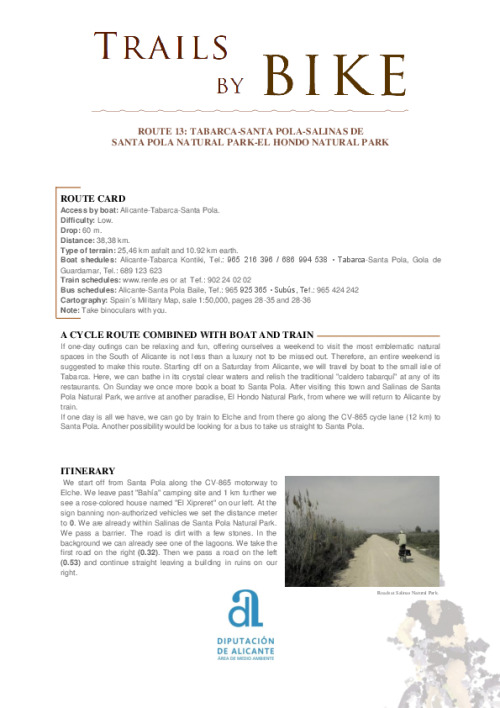
If one-day outings can be relaxing and fun, offering ourselves a weekend to visit the most emblematic natural spaces in the South of Alicante is not less than a luxury not to be missed out. Therefore, an entire weekend is suggested to make this route. Starting off on a Saturday from Alicante, we will travel by boat to the small isle of Tabarca. Here, we can bathe in its crystal clear waters and relish the traditional "caldero tabarquí" at any of its restaurants. On Sunday we once more book a boat to Santa Pola. After visiting this town and Salinas de Santa Pola Natural Park, we arrive at another paradise, El Hondo Natural Park, from where we will return to Alicante by train.
If one day is all we have, we can go by train to Elche and from there go along the CV-865 cycle lane (12 km) to Santa Pola. Another possibility would be looking for a bus to take us straight to Santa Pola.
Tabarca.
Itinerary
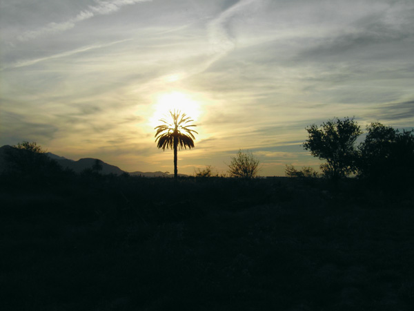
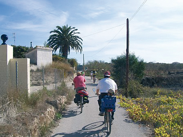
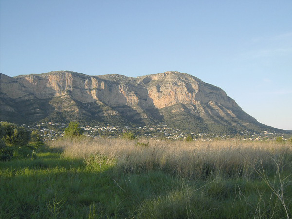
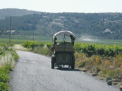
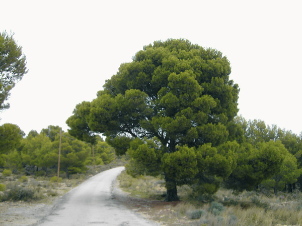
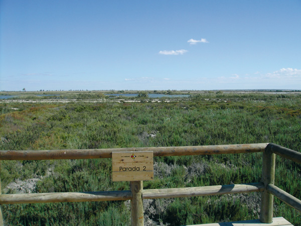
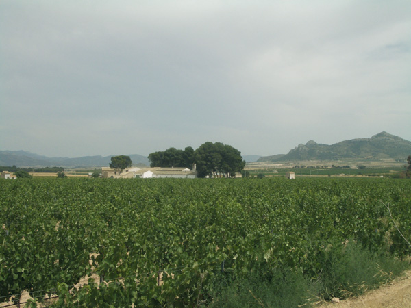
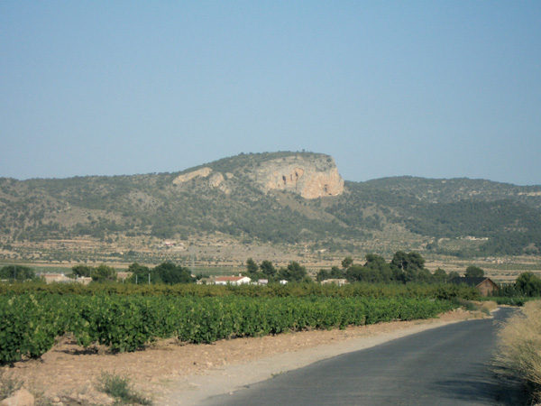
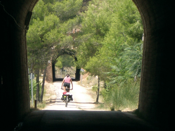
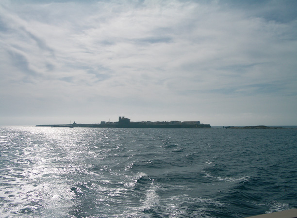
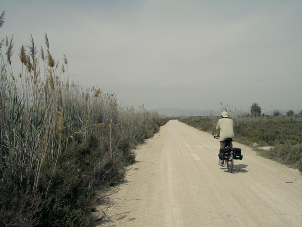
We start off from Santa Pola along the CV-865 motorway to Elche. We leave past "Bahía" camping site and 1 km further we see a rose-colored house named "El Xipreret" on our left. At the sign banning non-authorized vehicles we set the distance meter to 0. We are already within Salinas de Santa Pola Natural Park. We pass a barrier. The road is dirt with a few stones. In the background we can already see one of the lagoons. We take the first road on the right (0.32). Then we pass a road on the left (0.53) and continue straight leaving a building in ruins on our right. Now the road is wide and in good condition and we already see the saline marshes on our left. This part of the park becomes a spectacle when at dusk the last red sunrays reflect upon the water. Also on our right can we peer the salt mountains. We will soon come across reed beds that will be part of the scenery all along the route. We go out onto the road (2.85). Before us we have a park filled with palm trees. We turn left, extremely cautious on this stretch with a narrow hard shoulder. Just as we pass a sign reading "Viveros Ornamentales del Sureste", we see a way on the left (4.20) where a somewhat stunted palm tree can bee seen, at which we turn. We enter the marshland area with its characteristic vegetation. We continue straight the main track, surrounding the northern part of the park, ignoring the ways that we come across with left and right. The reed plant is so dense here that almost forms a tunnel along this stretch. We arrive at a road crossroads (6.18) and continue straight. We reach another crossroads and continue on the way where there is an orange-colored gas line. We leave some houses behind (6.45). Ignoring a way on the right (6.74), we always continue on the main road, among farming gardens and palm tree plantations. We reach a way (7.58). We see a metal door on the left with a sign reading "Irlés", a private game preserve; here we turn right and go a little further after going around the metal fence belonging to a few greenhouses. We reach an asphalted way (8.11) and turn left still bordering the fence. We pass through the door of Irlés estate (8.20) and pedal straight among fields of pomegranate, olive and lemon trees. Past a high-voltage pylon (9.49) we turn left, along a wide and well-kept gravel track. We pass some very modest country houses with gardens and farm lands. Further on, (11.32) we come across a garbage container and a property estate on the right with a white metal portal reading "CD Santa Fe". We continue along the way onto a Stop signpost (12.12) and turn left along this asphalted road. Once more we move with caution, as this lane is busy with traffic and has little shoulder. We pass the "Betong" stone banister business and after passing mileage point 9 we turn right (13.22) along a dirt track parallel to a canal. We arrive at a road (16.24) and turn left, passing in front of the small water reservoir and the house "Sociedad Nuevos Riegos El Proceso". On this short stretch we will have to be extremely cautious as there is much traffic and no hard shoulder. A few metres further (16.63) we reach a crossroads and turn left to immediately turn right (16.69) along a way where there is a sign to La Marina. Soon we come across some guardrails. Just before the third one, we take a way (17.34) between two canals on the right. We reach a roundabout (17.92), then ignore the entrance to Elche and take the next dirt road on the right, where a Stop sign can be seen. The next kilometres we go all straight across a somewhat monotonous yet highly important environmentally-wise plain.
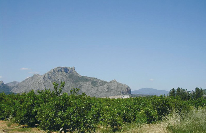
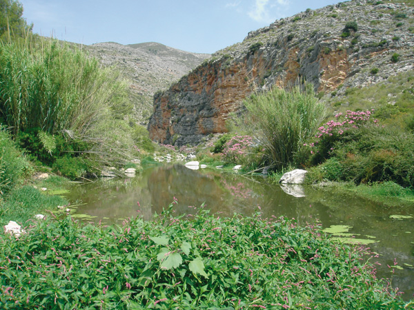
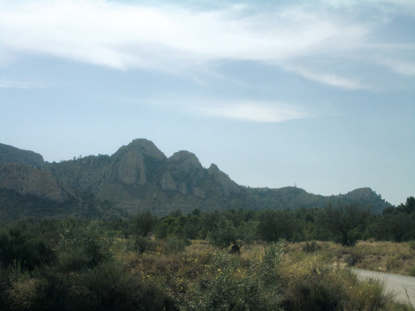
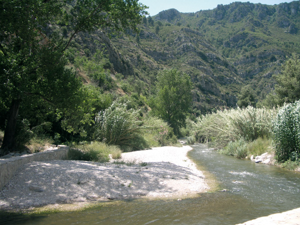
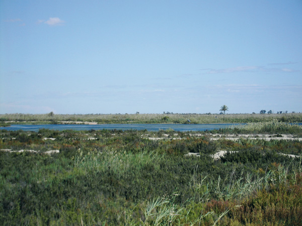
We cross Canal de Desvío (19.92) and arrive at a way where we turn right (21.16) parallel to a small canal that is usually dry. This vast plain is only interrupted by the mountains of Sierra de Crevillente that we see in the background. The way ends on a group of eucalyptus trees. We turn left, crossing the canal (23.15) and turn right on the way running parallel to this. We reach a road (23.30) and continue along the asphalted way ahead of us with a canal on its left. The way ends at the entrance of El Hondo Natural Park, to which we ascend across the metal door (23.76) that is usually closed. But if we go a few metres further along the fence on the right, we can continue the way. This stretch is one of the most pleasant of the route, where fishermen and natural ponds inhabited by large numbers of birds are common. We pass another door (27.43) and repeat the previous operation. We arrive at the road (29.18) and follow the signs on the left to visit the Park's Interpretive Centre (30.30).
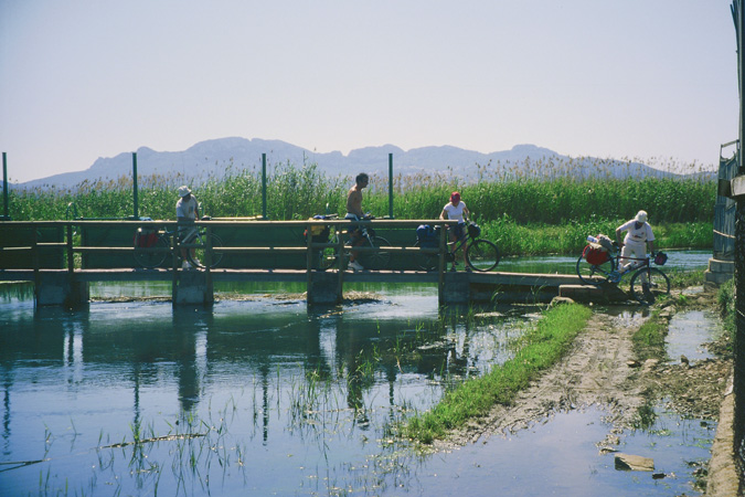
After visiting the park we return to the road (31.39) and we take now to the right, always straight, ignoring the ways that we may come across, and onto a bridge over a canal with rose-colored footbridges (35.59). Right before this, we turn left into a small way lined with palm trees We arrive at a Stop signpost (36.36) and continue straight along a quiet road, and before the bridge climb (37.77) that crosses the train tracks, we take the asphalted way on the left, to finish the route a few metres further at the Crevillent train station (38.38).
Roads at Salinas Natural Park.
Las Salinas.
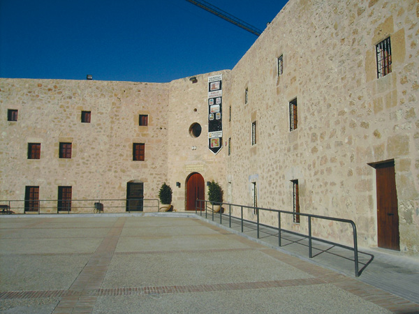
Fortress of Santa Pola.