
From Orihuela to Guardamar del Segura along the Segura river
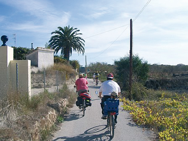
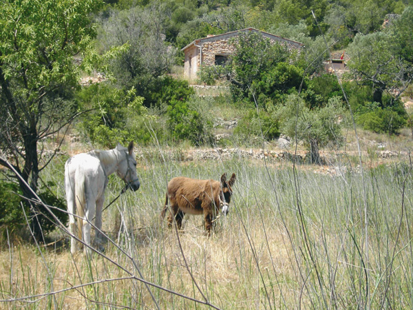
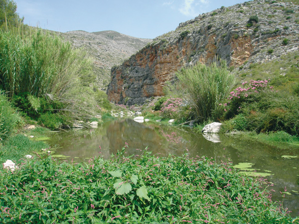
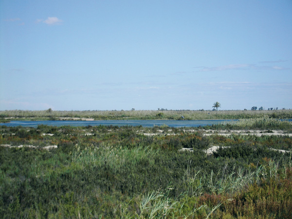
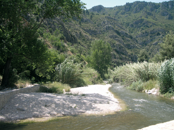
Running along the Segura river right shore, this simple, comfortable route takes us through beautiful landscapes and brings us close to towns such as Benejœzar, Formentera del Segura and Rojales, located along its riverbed. We will see waterfowl, especially moorhens and coots that make this river their home. Explanatory panels brief us about riverside vegetation, and recreational areas are also available where we can make a pause and relax. The road is compacted dirt and closed to motorized traffic, allowing us to peacefully enjoy the scenery.
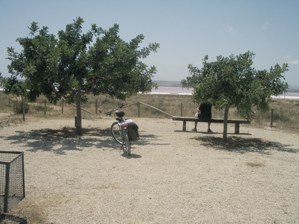
We suggest making the route in two days, spending the night at Guardamar del Segura, to be able to leisurely visit this town, especially its parks, R‡bita Califal and its very interesting dune chain, one of the most important of the East of Spain. The way back to Orihuela, (that we suggest making along the same shore, as the other one is not completely adapted) offers us another perspective of the route and allows us to appreciate details that may have gone unnoticed the first time.
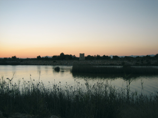
Dusk at Guardamar del Segura.
Itinerary
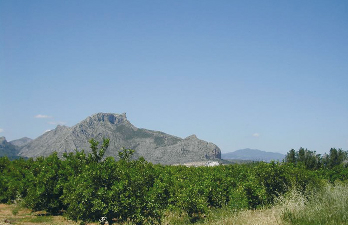
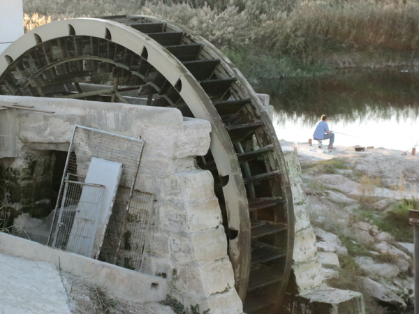
This route begins at the start of the CV-910 road to Almoradí, at the crossroads of Médico Temístocles Almagro and Obispo Rocamora streets. The simplest way to get there is by coming out from the intermodal station, and then continue right along the avenue lined with palm trees onto the third roundabout. Once there, we will access the other side of the lane using the flyover for pedestrians. Right at the end of it we set the distance meter to 0. We see a "BP" petrol station and pass between a carwash. We reach a street (0.07) and continue right behind the petrol station. We reach a Stop signpost (0.32) and turn left behind the "Eroski" supermarket. We find ourselves at La Cruz neighbourhood. At the end of these houses, on our left, we take a dirt track with a few pine trees at the beginning, leading to the Segura river (0.54). The riverbed is on our left and before us we see the great rock of Sierra de Callosa. Waterfowl is a common scene to come across. Soon the farm gardens start appearing and will stay with us almost entirely onto Guardamar del Segura. We leave behind a yellow and blue bridge (3.81) on the left, and continue straight parallel to the riverbed. We cross the asphalted bridge (5.82) over a canal flowing into the Segura and turn left following the river. A curve to the right (7.02) leads us temporarily away from the riverbed and we now continue next to a canal. Soon will we see (7.16) something hidden among the reed beds, a small bridge on the left over which we cross the canal and turn left to go back to the river. We see a sign (10.20) indicating the end of the road, that we can continue by bicycle, and we start seeing the houses of Benejúzar. We reach a roundabout (10.53) and go around it to return to the river. If we wish to visit Benejúzar we can make it from here (stop the distance meter). Sponsored by the Environment Council of this local council, there is a camp site and a shelter available at "La Pilarica" place, with an interesting program offering, among other things, an introduction to nature activities, bird watching, botanical routes, etc. A little further on we can see the large waterwheel of Benijófar (19.78). Since mid XVII century the presence of a dam and a waterwheel has been documented in this zone. The original one made of wood was replaced at the end of the XIX century by another one made of steel built in Cartagena, which was also replaced in the 70s by another one built in San Vicente del Raspeig. This waterwheel has a diameter of 70.70 m and currently irrigates 950 "tahullas" (the tahulla was a surface measuring unit equivalent to 1,118 square meters in the ancient kingdoms of Orihuela, Murcia, Castile and Aragon).
Further on we will come across a metal bridge (20.33) that we may cross if we wish to visit Formentera del Segura. Otherwise, we continue straight. Shortly after we find an asphalted way on the right (20.80) along which we can come close to the recreational area of "El Secano" to rest (stop distance meter). The way becomes narrow (21.52), goes under a bridge and then we enter the next town of the route: Rojales. We reach a street (21.65) and continue along it next to the river. We pass a red metal bridge on our left (22.15). Then we arrive at another one made of stone (22.34), known as Puente Viejo, dating back to year 1790. Before us we can see a large waterwheel and a park that we go around it. After the park, we carefully continue on the pavement parallel to the Segura river and go out onto Rojales. The river bed turns wider each time and filled with reed plants. We pass beneath the motorway (26.56) and then enter another recreational area (27.10). The road ends at a roundabout (28.53). From there, following the signs, we enter Guardamar del Segura.
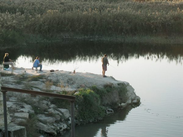
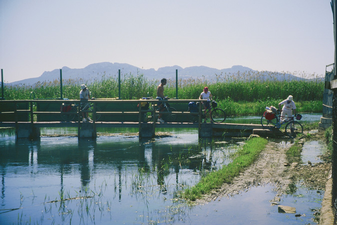
Fishing in the Segura River.
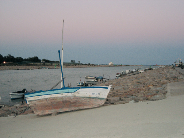
The Segura river mouth at Guardamar del Segura.
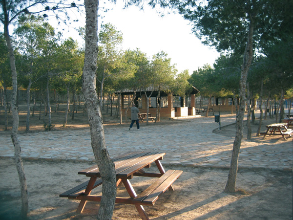
"La Pilarica" recreative and camping zone. Benejúzar.