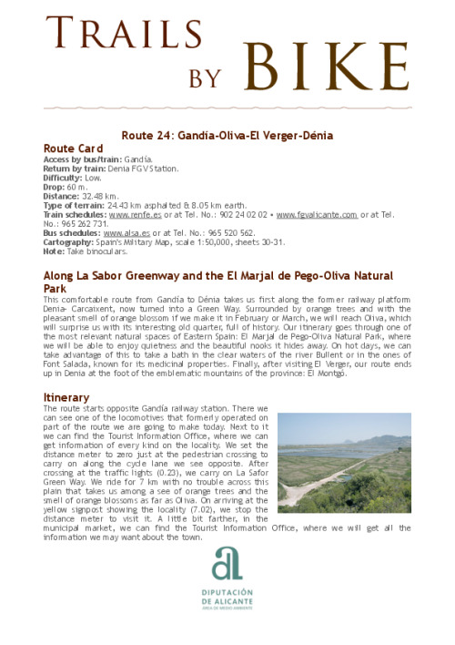

Along La Sabor Greenway and the El Marjal de Pego-Oliva Natural Park
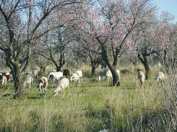
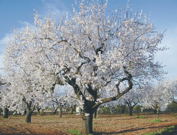
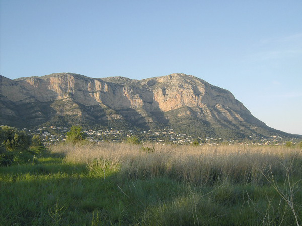
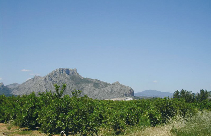
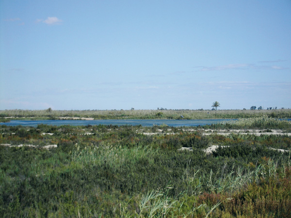
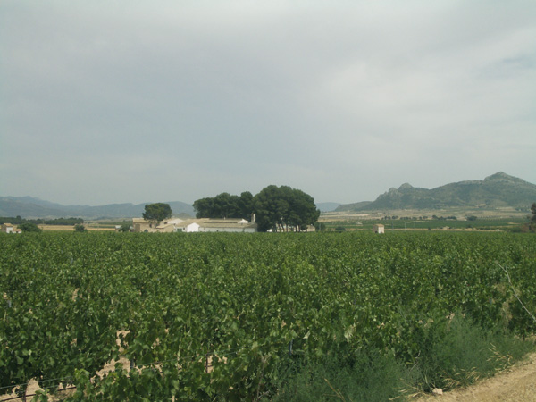
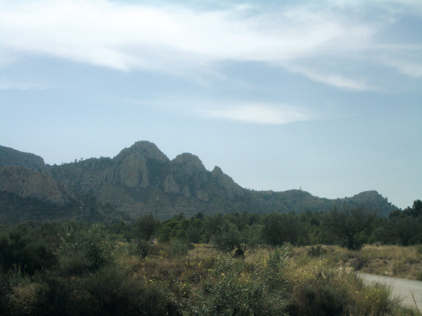
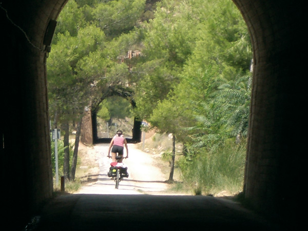
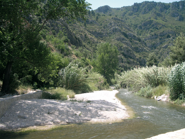
This comfortable route from Gandía to Dénia takes us first along the former railway platform Denia- Carcaixent, now turned into a Green Way. Surrounded by orange trees and with the pleasant smell of orange blossom if we make it in February or March, we will reach Oliva, which will surprise us with its interesting old quarter, full of history. Our itinerary goes through one of the most relevant natural spaces of Eastern Spain: El Marjal de Pego-Oliva Natural Park, where we will be able to enjoy quietness and the beautiful nooks it hides away. On hot days, we can take advantage of this to take a bath in the clear waters of the river Bullent or in the ones of Font Salada, known for its medicinal properties. Finally, after visiting El Verger, our route ends up in Denia at the foot of the emblematic mountains of the province: El Montgó.
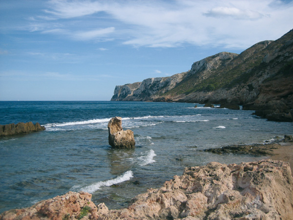
Las Rotas.
Itinerary
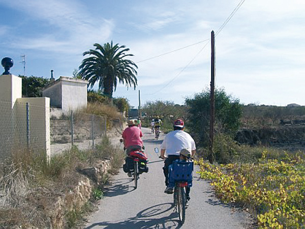
The route starts opposite Gandía railway station. There we can see one of the locomotives that formerly operated on part of the route we are going to make today. Next to it we can find the Tourist Information Office, where we can get information of every kind on the locality. We set the distance meter to zero just at the pedestrian crossing to carry on along the cycle lane we see opposite. After crossing at the traffic lights (0.23), we carry on La Safor Green Way. We ride for 7 km with no trouble across this plain that takes us among a see of orange trees and the smell of orange blossoms as far as Oliva. On arriving at the yellow signpost showing the locality (7.02), we stop the distance meter to visit it. A little bit farther, in the municipal market, we can find the Tourist Information Office, where we will get all the information we may want about the town.
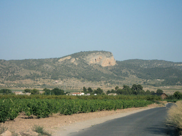
To resume the route, we will leave the town along the road leading to Pego (CV-715), located next to the church of San Francis of Assisi, and just at the traffic lights we start the distance meter again. At the following traffic lights (7.50) we turn left and immediately after, to the right to ride between "Arlandis" brick factory and a school. We quit Oliva through the industrial estate and we keep right along the "Camí Vell de Pego". Leaving the last factory premises behind, we keep straight ahead along the same way that goes deeper into orange tree fields (8.48). We will reach a road (9.28) and we will see the motorway opposite. We turn left and ride parallel to the latter. We turn right (9.87) and we get into a small tunnel under the motorway and we soon turn left to go along Sant Joseph's asphalted way. Some metres later, the way bends up in a close curve and we ride away from the motorway. We head for the gentle hills opposite with some houses.
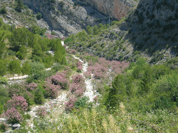
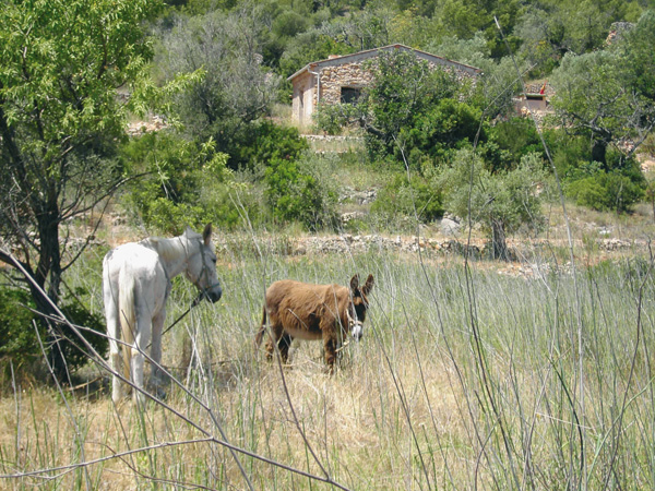
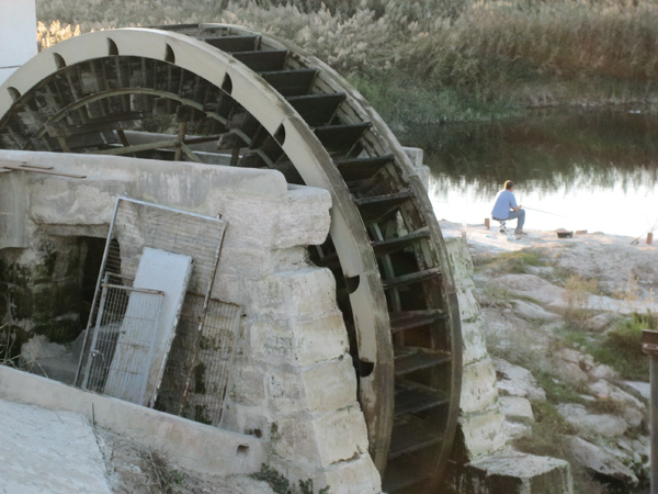
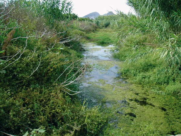
We will reach a road (11.32) and we have a street opposite going up to a building complex, but we keep on the left bordering the slope of the hill. We then reach another road, and opposite there is another road on the way up, but we keep on the left again (11.71). We reach another road (11.93). We ignore the one going up and we keep on the right. Little after we will follow the directions to Font Salada. On very hot days, we can take advantage of this to get cool here. This fountain, very well known by the people in Pego and Oliva, yields water somehow salted, hence its name. Its waters keep the same temperature through the year. It is believed to have skin-healing powers and it is a usual thing to see people taking water home or bathing in its waters. There is also a small bar where we can quench our thirst.
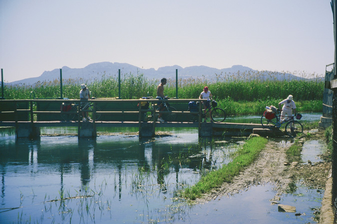
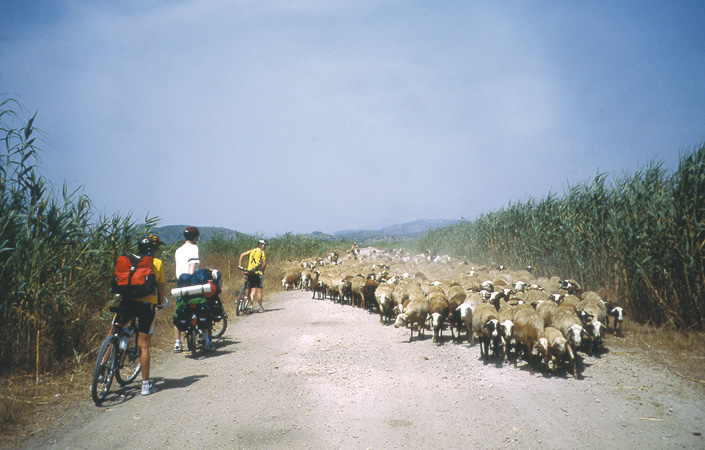
At the end of this way (12.77) we can see a narrow passageway between two orchards, which we will ride along. Soon after will we come across the river Bullent. Once we have crossed the footbridge with floodgates, we will keep parallel to the river. We have just entered the province of Alicante and El Marjal de Pego-Oliva Natural Park. We can see a hut on the left with a metallic door (13.37). If we wish to go over other parts of the park, we can follow from here along the way opposite, always remembering to stop our distance meter. The route remains on the left, though. We will reach road CV-678 (14.67) and we turn to the right to then, turn to the left along the first dirt road (14.80). We will reach a green house, which is the pumping station and we keep straight along the way parallel to the canal which leads to Monte Pego building complex, which is just opposite. We will arrive at another way (17.17) next to the Racons River, and we will turn left pedalling parallel to it. We can then see a cement bridge (17.88) which we will cross, keeping on the left. We find a road (18.60). Opposite we have a petrol station and the cycle lane we keep to the left to head for El Verger. We cross the bridge over the motorway (21.93) and the cycle lane turns away from it to go under the new ring road (22.53). It will appear later on near the bridge on the other side. We can see a small monument devoted to Greenwich 0 meridian (23.27). The cycle lane ends there (23.66). We cross the national road where the green pivots are and we access El Verger along an asphalted way (23.80). We follow straight ahead in the direction of the sports centre along Carrer Cervantes. Once having left past the Town Hall (24.56), we follow Carrer Molí and we turn left into Carrer Almassera (24.74) in the direction to the sports centre. After leaving it behind, we reach a crossroads and we turn left. (25.41).
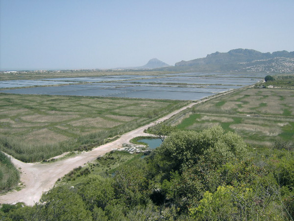
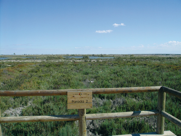
Vista del Marjal de Pego-Oliva.
Font Salada.
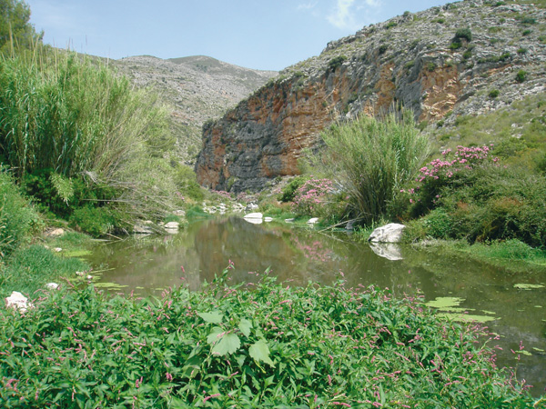
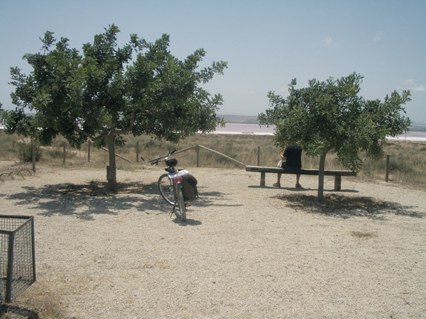
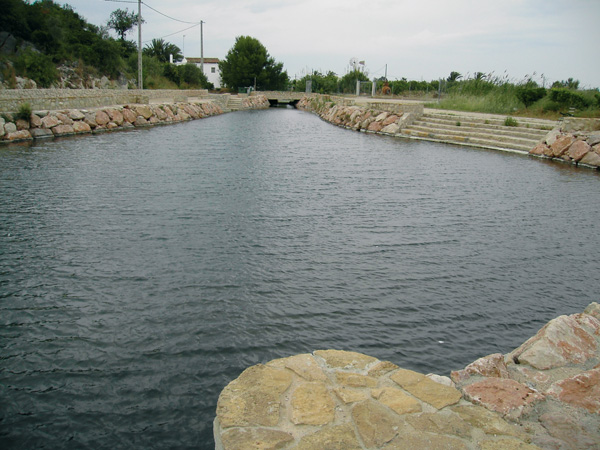
The Alberca River.
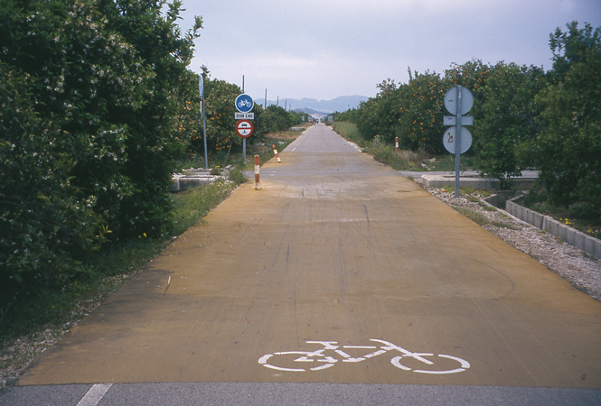
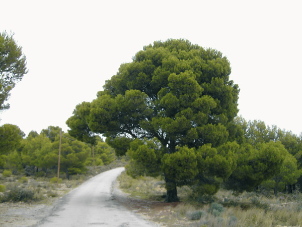
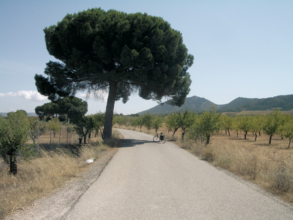
La Safor Greenway
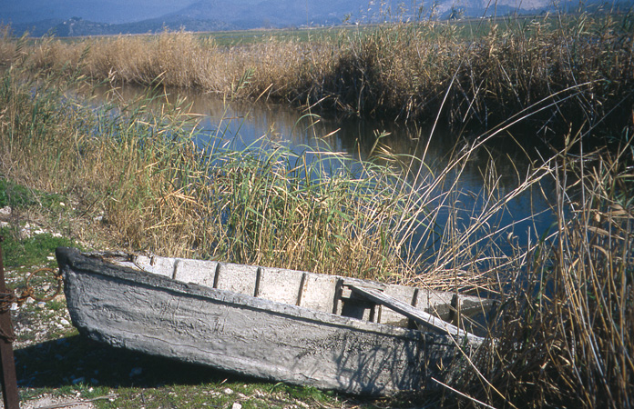
Traditional boat in the marshland.