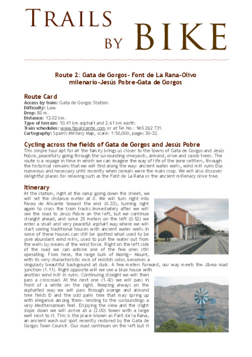

Bicycling across the fields of Gata de Gorgos and Jesœs Pobre
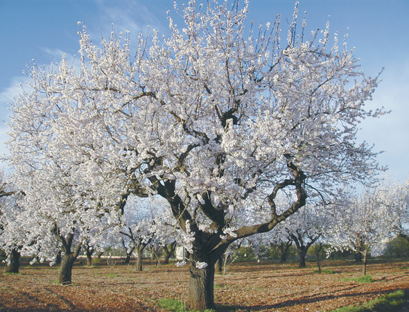
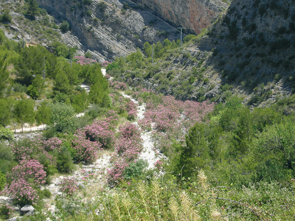
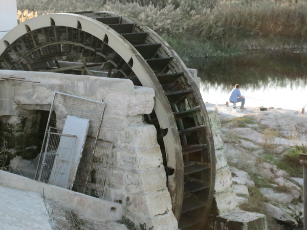
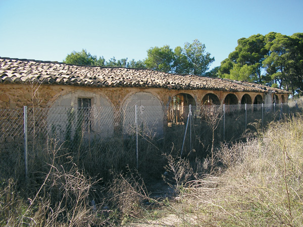
This simple tour apt for all the family brings us closer to the towns of Gata de Gorgos and Jesœs Pobre, peacefully going through the surrounding vineyards, almond, olive and carob trees. The route is a voyage in time in which we can imagine the way of life of the zone settlers, through the historical remains that we will find along the way: ancient water wells, wind mill ruins Ðso numerous and necessary until recently when cereals were the main crop. We will also discover delightful places for relaxing such as the Font de La Rana or the ancient millenary olive tree.
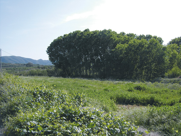
Chopera
Itinerary
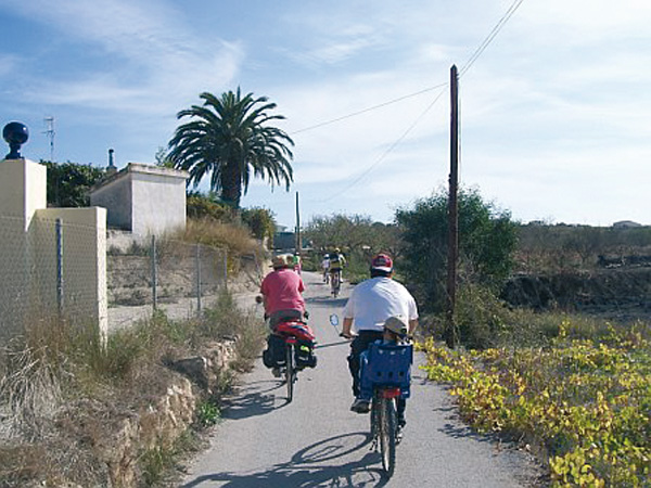
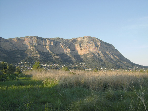
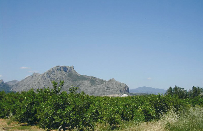
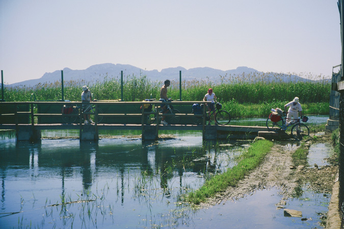
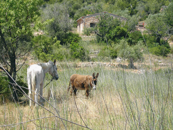
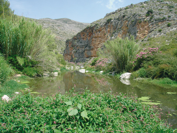
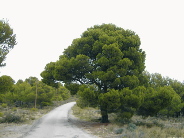
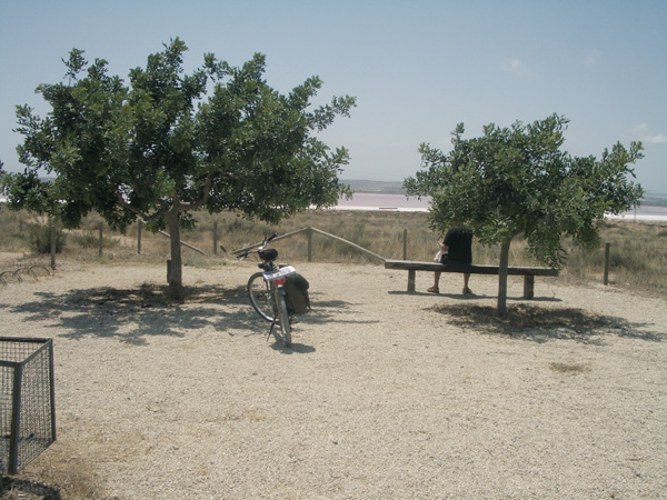
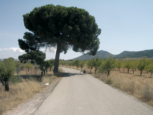
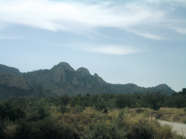
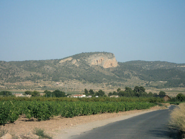
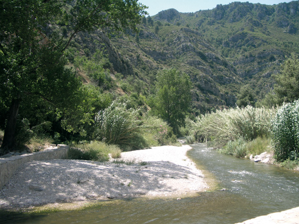
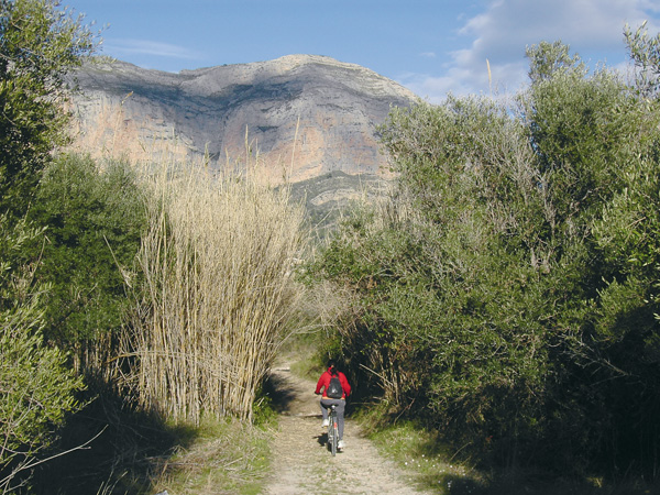
At the station, right at the ramp going down the street, we will set the distance meter at 0. We will turn right into Paseo de Alicante toward the end (0.33), turning right again to cross the train tracks. Immediately after we will see the road to Jesœs Pobre on the left, but we continue straight ahead, and some 25 meters on the left (0.52) we enter a small and very peaceful asphalt way where we will start seeing traditional houses with ancient water wells. In some of these houses can still be spotted what used to be yore abundant wind mills, used to pull the water out from the wells by means of the wind force. Right on the left side of the road we can admire one of the few ones still operating. From here, the large bulk of Montg— Mount, with its very characteristic rock of reddish color, becomes a singularly beautiful background at dusk. A few meters forward, our way meets the J‡vea road junction (1.11). Right opposite will we see a blue house with another wind mill in ruins. Continuing straight we will then pass a crossroad. At the next one (1.42) we will pass in front of a white house on the right. Keeping always on the asphalted way we will pass through orange and almond tree fields Ð and the odd palm tree that may spring up with elegance among them- lending to the surroundings a very Mediterranean feel. Enjoying the view and the slight slope down we will arrive at a (2.00) tower with a large well next to it. This is the place known as Font de la Rana, an ancient wash out spot recently restored by the Gata de Gorgos Town Council. Our road continues on the left but it is recommended to make a pause here as to get a few metres close the fountain and get refreshed while enjoying the plentiful shade of the large eucalyptus. Our route continues on the main road without taking any other. Soon we will pass above a small river bed (2.71) with abundant cactuses by its banks. After a small climb, we will see a barnyard on our right (3.05) and soon after, at the sharp bend on the left, we will take a dirt road on the right (3.12). At about 50 meters we make another left on a somewhat stony road. Shortly after and following a way down, we will pass a ford (3.44) that may be flooded at times. Further on, we ignore a road on the right (3.55) and continue left towards Montg— Mount. The road is narrow and turns into a trail as it passes through an olive field to end at a few meters on a dirt road (3.78). Before us, another road leads to Montg— Mount, but ours will continue on the left. However, we can make a detour to the right for a moment and admire another attraction of this route: the olive and carob trees that are said to be millenary (3.93).
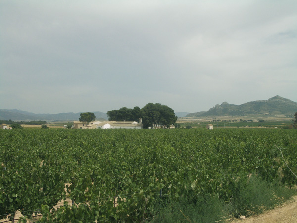
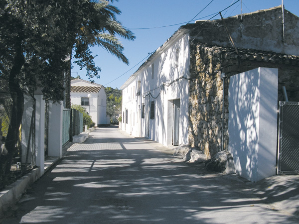
Without taking any detour we turn back to resume our route. On the horizon, before us we will see the remains of three mills of Jesœs Pobre. Arriving at an asphalted way (4.71) we then turn left. Shortly after we will arrive at another way (4.78) and turn left again, slightly going down through the vineyards. We continue on the first asphalted way (4.99) where a sign indicates "trucks over 6 tons banned". Almond tree fields alternate with vineyards. We continue on the main way without taking any detour and arrive at the Jesœs Pobre-Gata de Gorgos road (6.04). Crossing it we will continue straight by the cemetery road (6.39), and when we reach the cemetery, we will turn right to go up the small village of Jesœs Pobre. The drop is somehow considerable but it is really worth the effort, as this town has managed to preserve almost intact to our days its old-time charm. As we descend, the typical houses surrounded by gardens, barnyards, wells, flower fields, almond and orange trees, create in us a feeling that time has come to a halt. Simplicity and quietness can be sensed in the air. If we wish to, we can walk up to the mills by a trail coming out Quatre Cantons street. Arriving at the stop sign (7.48) the route continues on the left, although if we feel like hanging around the streets, sightseeing or having a drink in town, we can do so from here (stop the distance metre).
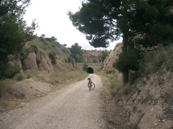
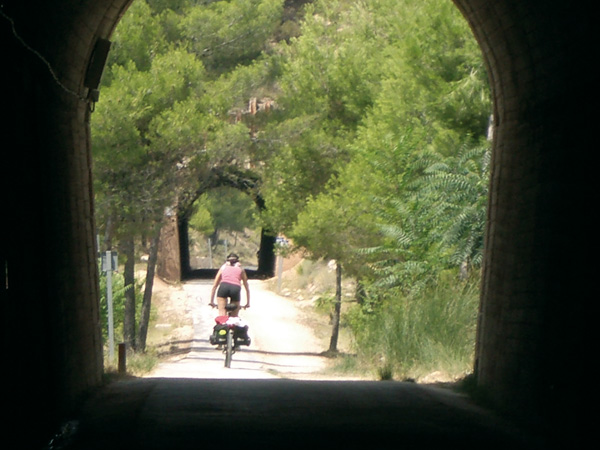
The slope down is steep with a few sharp bends, so we must be extremely cautious. At the end (8.49) we will continue left where we see a sign banning the access to vehicles heavier than 12 tons. On the next stretch we will enjoy a typically Mediterranean view: carob, almond, olive, prickly pear and pine trees, and vineyards. We will arrive at a bridge (9.31) above the train tracks and cross it, but not before admiring the large number of cages belonging to the pigeon breeders. We will proceed on a slight way down among almond trees, to arrive at a group of industrial buildings located next to main national road 332 (9.96). We will cross the road and head for Pedreguer. Next we turn left (10.19) bordering the industrial building by behind. Soon, the asphalt turns into dirt going parallel to the road and coming out again onto the national road (10.75). We continue for about 20 metres and deviate right on the asphalted road bearing a sign indicating "Viveros la Carrasca". On the next 500 meters we will go up again a few small slopes. Taking the first asphalted road left (11.18) we will arrive at the Gata de Gorgos - Ll’ber road (11.72). Turning left, we will go along the streets of Gata de Gorgos and in a few minutes, we will get at the train station (13.02).

Estación de Gata de Gorgos.
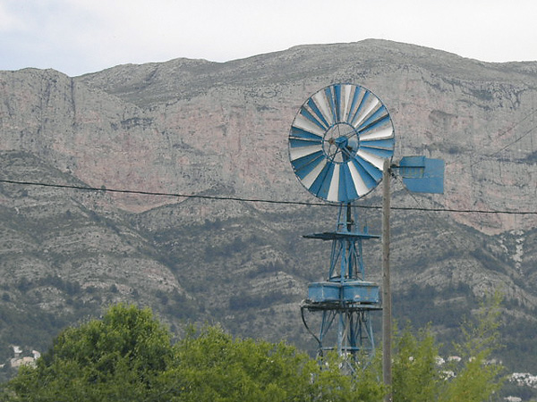
Molineta.
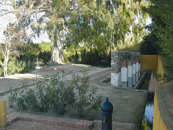
Font de la Rana.
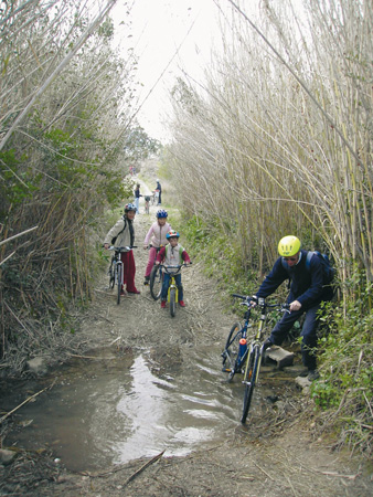
Crossing the dip
El Montgó.
Calle de Jesús Pobre.
Ríu Rau.