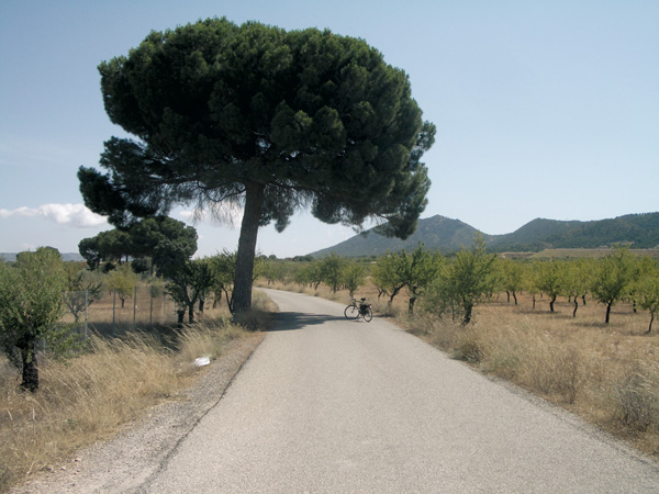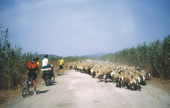

Cycling across the fields of Teulada and Benissa
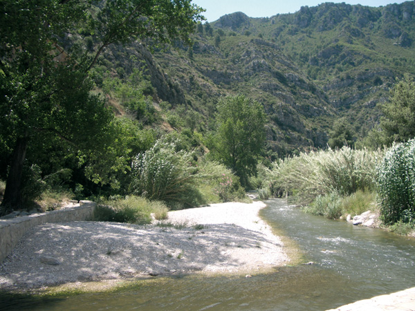
This short route is designed for those with little cycling experience. You will be able to experience and get the feel of how routes of this kind are, and then plan longer distances. One attraction is that this route goes through a series of wells remains, giving us the chance of a firs-hand approach to how water was extracted until relatively recent times with small wind mills.
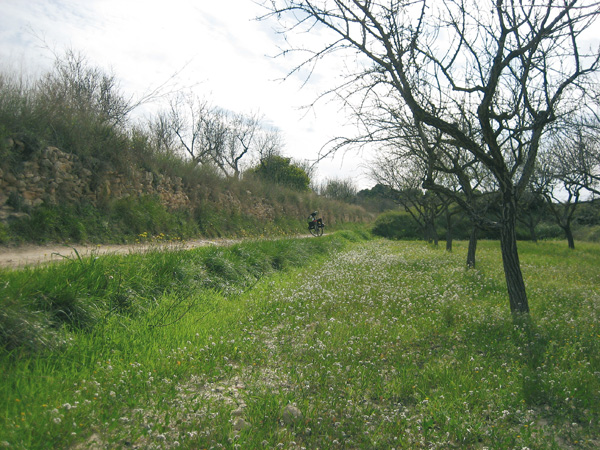
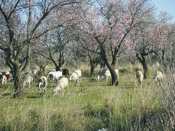
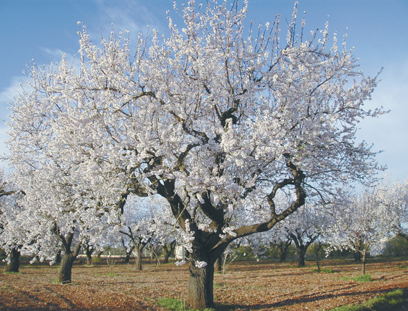
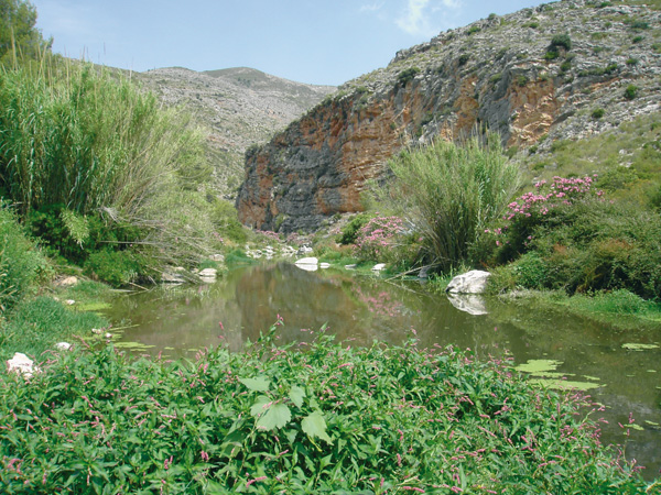
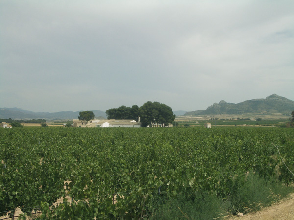
Fields of Teulada.
Itinerary
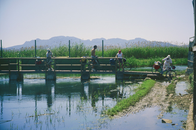
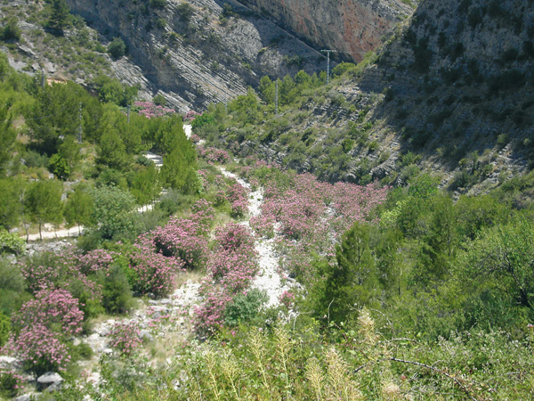
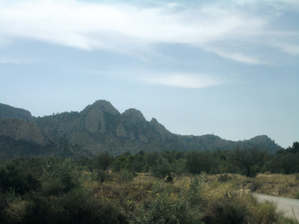
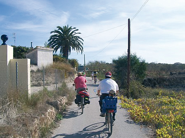
We leave the station and look for the roundabout located at the entrance of Teulada, at the start of Avenida del Mediterráneo. At the roundabout we will see a white monolith with a fountain and some sculptures depicting the typical products of Teulada-Moraira: fishery and vineyards. Teulada is twinned with the German town of Heiligkreuzsteinach and this monolith is a copy of a smaller one found in that place. We follow the avenue and take the first road to the right, called the “Camí del Pas”. Right at the road sign, we set the distance meter to 0 to begin the route. From the start we will see vineyards and country houses spreading across the surrounding hills.Taking the first asphalted road on the right, (0.31) we continue enjoying the magnificent mountain and pine tree grove views mixing with farming fields. On our right, the reeds and canes remind us that we are in a wet area. We can also witness the remains (0.75) of a wind mill, one of the many that used to be in the area in former times. We will arrive at a small park (0.94) called “Font de L’ Horta”. This fountain, with several water spouts, is an ideal place for resting under the shade of the surrounding trees. We proceed by leaving the park on our right.
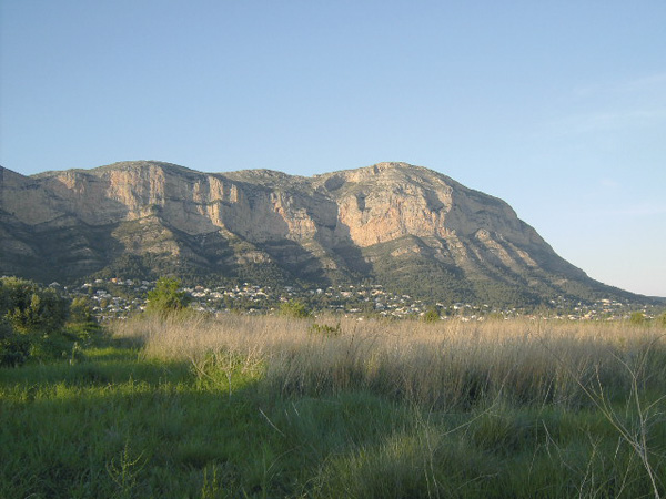
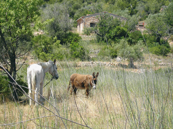
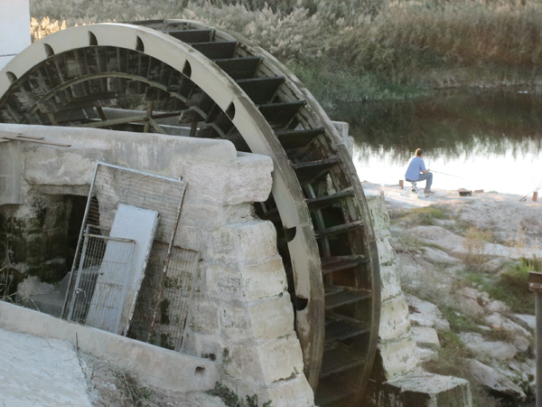
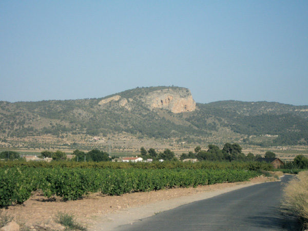
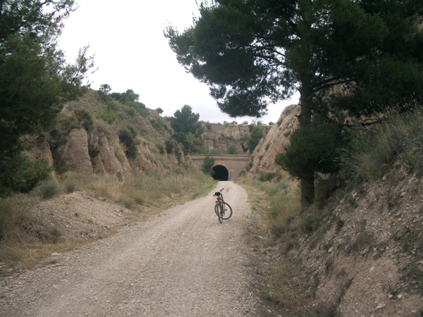
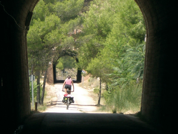
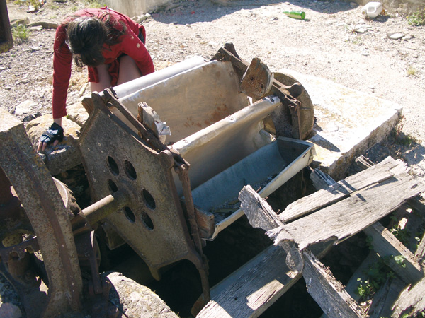
Some distance forward (1.32) and very near the road, we will see on the right the rusty remains of machinery belonging to another windmill. Next we will take the dirt road to the right (1.45). This road soon turns into an asphalted way (1.65). Right here, we can witness on our right the remains of a wind mill used for extracting water from a well. We can still admire the machinery and imagine how the extraction process was. On our right again, lying are the remains of another water mill (2.13). At the end of the “Cami del Boticari” road (2.18) we turn right and pass by another well: “El Pouet del Moro”. On reaching road CV-741 (2.33) we will cross it to then proceed on the path opposite us. This short stretch is the hardest of the route for, in addition to the drop, we will find some traffic. Once at the top (2.90) magnificent views of the zone can be admired, such as the mountains of Bernia and Oltà on our left. We will pass over a bridge and cross over the train tracks (3.65) to arrive then at road CV-7470 (3.77).On our right we will see the “Camí del Pouet de Berdica”, which we will proceed along. On arriving at a stop signpost (4.51) we will go straight, leaving the house on our left. This stretch is more rugged and abundant with fig, prickly pear and carob trees. We will come across a small, beige-color house on our right (5.03) and a few meters further (5.07) a dirt road with a hut on its right past which we shall continue. Although quite stony at the start, it gets better in no time. Always straight, we continue on this road and enter Teulada’s industrial estate, then arrive at a roundabout where we will take the cycle lane on our right (6.40). Once we arrive at the roundabout of Avenida del Mediterráneo (6.90) we will head again for the train station (7.15).
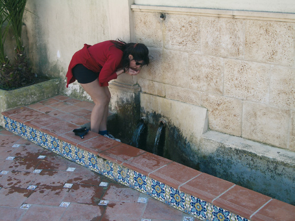
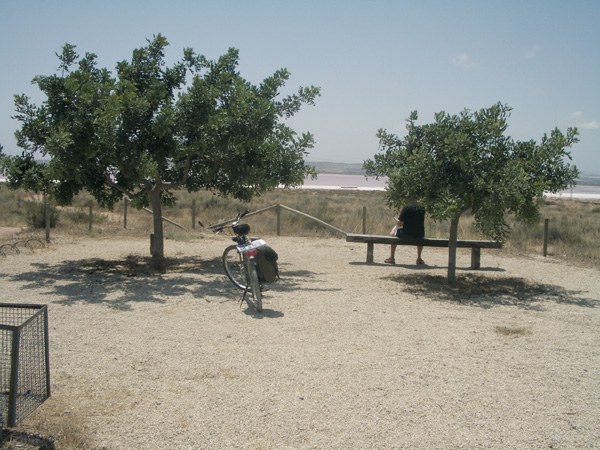
Font de L´Horta.
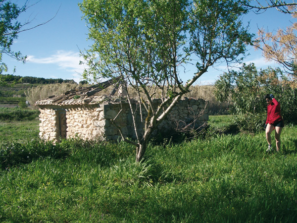
Well remains
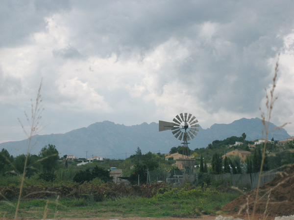
Water-extracting wind mill
Well in ruins