
Among vineyards, salterns and pine trees
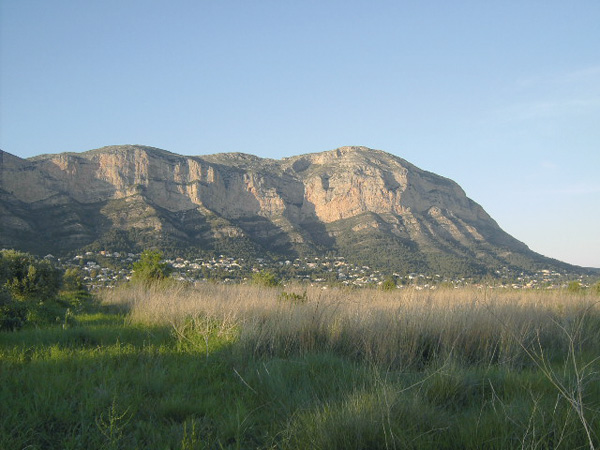
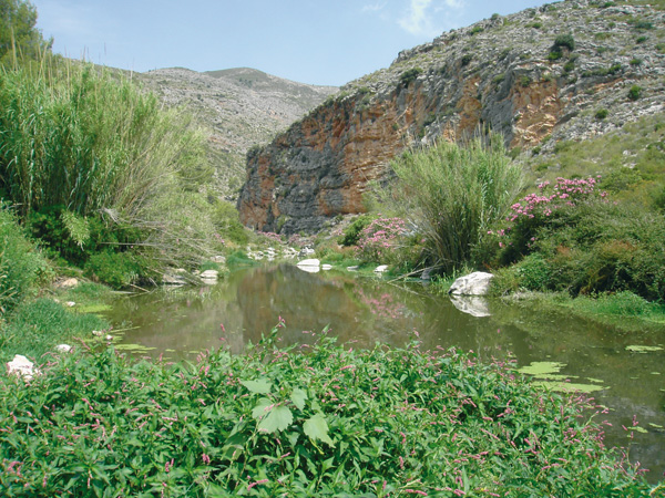
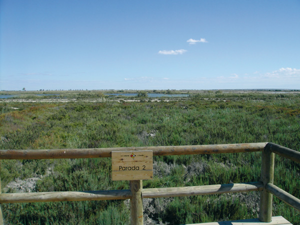
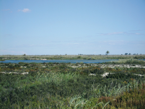
At the beginning of the route we behold the magnificent views of the Vinalopó Valley from the slopes of the Cabrera Mountains. Then gentle descents await us as far as las Salinas lagoon, the best specimen of an endoreic lakeside area in the province of Alicante (with no exit to the water drainage). We can find in it vegetal species adapted to the strong salinity of the land, as the shrubby Russian thistle, the small cordgrass, the opposite leaved saltwort, the alkali seepweed, the soapwort and the grey saltbush. As for birds, and depending on the season, we can see the stork, the avocet, the royal eagle, the Bonelli's eagle, and in wetter seasons, the various kinds of heron and even the flamingo. Several cycling paths and routes stem from Pinoso, which get us closer to the great environmental and landscape richness of Mount Coto and El Cabezo. As it is impossible to discover everything in one day, and given the low frequency of buses from Pinoso, it is highly recommended to do the route in two or three days in combination with the route Pinoso-Monóvar-Elda, where we can come back by train from.
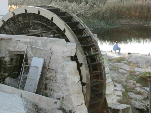
A fontain with a pool.
Itinerary
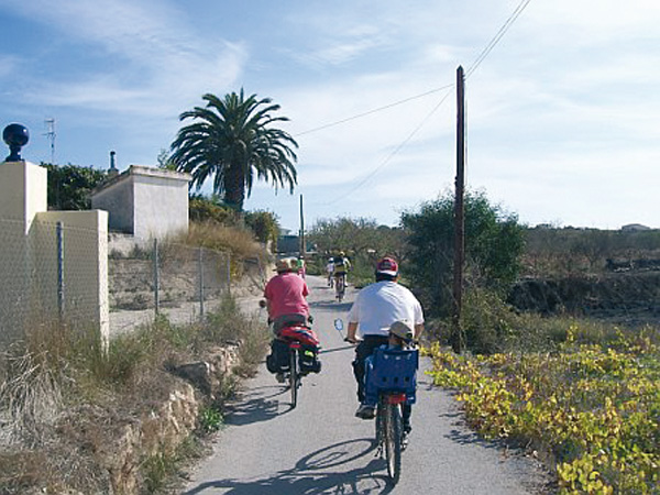
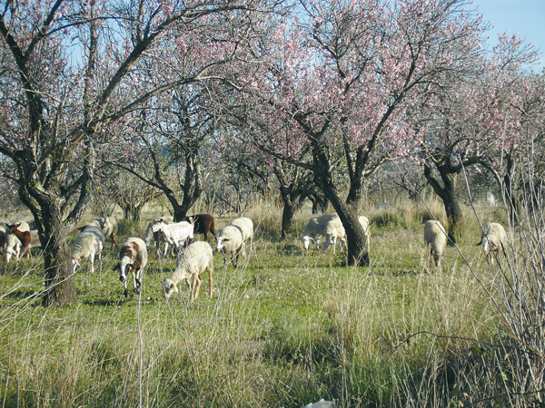
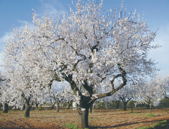
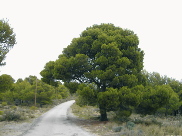
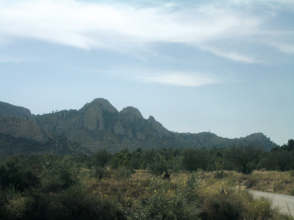
After the visit to the village of Sax, we go up to Vilaje neighbourhood, where a fountain with a cognate name is found. At the end of calle Maestro Granados, just under the street plate, we set the distance meter to zero and we set off straight ahead to the mount. After a short way up, we find ourselves between pine trees and we will soon find a signpost showing El Plano, but we keep on the left (1.20) along the asphalted road. We go up and opposite we find the peaks of Peña Cabrera which we are going to border on its right. We keep riding along this quiet road in a landscape peppered with pine trees and almond tree fields. We will see a dirt track on the right pointing to El Plano (2.92), but we will still follow the asphalted one.
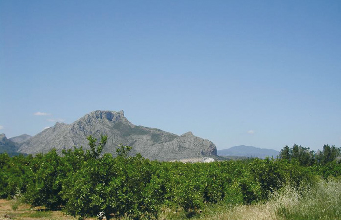
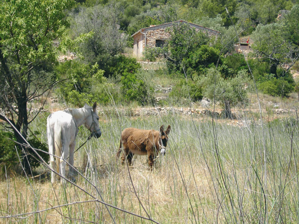
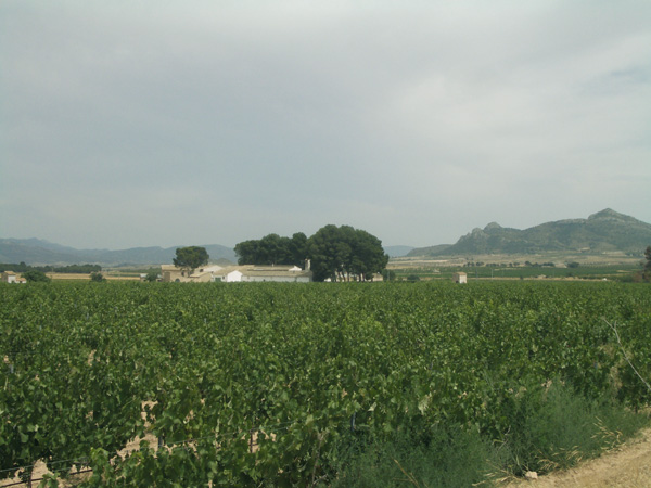
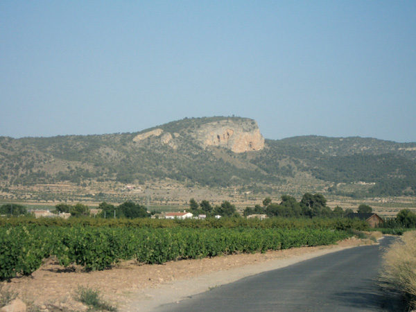
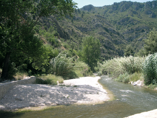
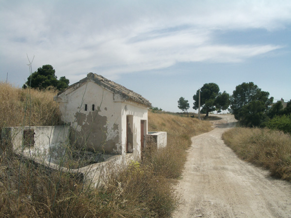
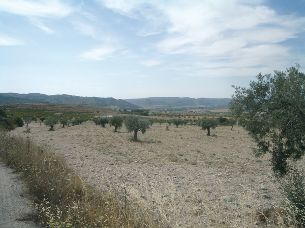
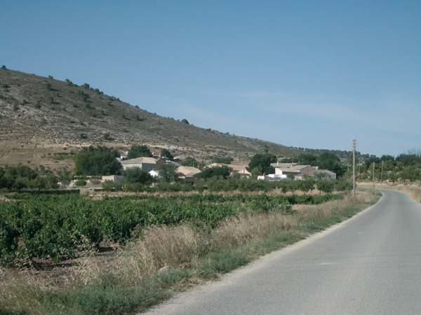
Once leaving behind the Alto el Mesonero (3.45), we can make out Villena with its castle in the background and the plain with the various mountains surrounding it. The asphalted track finishes (4.22) and we always follow the main dirt road. We leave past the old fountain with a small pool (5.40). We arrive at an old cistern and at La Villa educational centre (5.71), whose wire fence we will border as far as the asphalted path, which we will follow on the right. After a way down and a steep slope we reach another road (7.35). We keep on the left, on our gentle way down. We can see the great depression in the background made by Las Salinas lagoon. We take the first asphalted path on the left (8.58) and we keep straight between olive tree fields and vineyards where, as we can see, drip irrigation has been installed. We arrive at a farm: Casa Soler (10.58). On the right, a road stems, leading to the town of Salinas, where we can go if we wish to pay it a visit (remember to stop the distance meter). Otherwise, we keep straight as far as the stop signpost (12.00).
We cross and we follow the asphalted track opposite that shows a ban for vehicles over 12 Tm. Some metres ahead (12.11) we can see a path on the right that leads to Salinas; nevertheless, we keep straight. Going down a little bit, we can gaze at the farmlands that surround the lagoon, and then we reach a small pine tree forest with another big farm (12.78). We keep straight ahead along asphalted soil. We take the first asphalted way with the signpost "Restaurante Casa Calpena" (15.47). We will always follow it without taking any detour as far as the following Stop signpost (18.38). We turn left and now we are to be extremely careful as this stage has quite a lot of traffic and does not have a hard shoulder. We turn right into the first asphalted way (19.36) and some metres ahead, after passing by the electricity pylon, we turn left into the first dirt road (19.44). We will then reach a road and we keep straight ahead. Our route gets swallowed into vineyards.
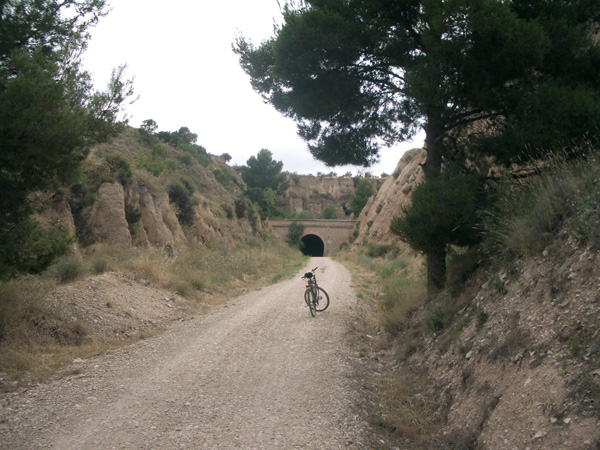
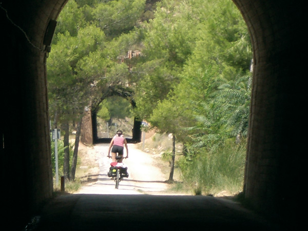
From now on, on all the crossroads and roads we find on our way we will keep straight as far as the stop road sign on the Monóvar to Pinoso road (26.15). We will cross the road in the direction to Cases del Senyor, and we will take the first asphalted way on the right (26.46), which take us to the municipal district of Xinorlet. On arriving to its first house (27.46), a yellow one, we keep to the left. In the square, we turn left along calle Dels Rosers (27.54). If we want to visit the village, we are to stop the distance meter here. We leave the village along this street, straight ahead, and we can see Cases del Senyor in the background, the following municipal district we are heading for. We enter by Avenida de Monóvar, and we can stop the distance meter opposite the church of Nuestra Se–ora del Remedio (29.11). So as to go on, we go up this street up to the end, and we will soon see the red and white markings of GR-7 (29.46), which we are going to follow, as far as the municipal district of Encebras. This stage is the most difficult one due to the sloping way up and the stony path.
At the yellow signpost showing the name of the town (33.31) we will leave the GR-7 markings. On the left, a path leads to the Aula de la Naturaleza Monte Coto (Nature interpretive centre), which has a camp site, a shelter and other facilities. It is an ideal place to stay in contact with nature and to carry out environmental education activities. We have to apply for a permit before the Pinoso Town Council if we wish to camp. We keep straight along the road that goes down to a plain in the background. We will reach Pinoso (38.39) in few minutes without having to take any detour.
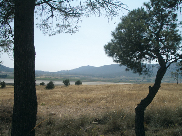
Alto del Mesonero.
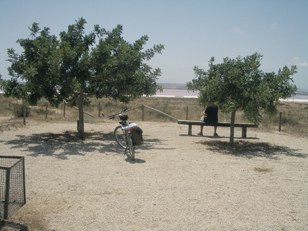
Laguna de Salinas.
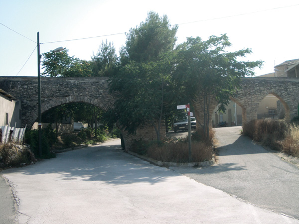
Acueducto en Cases del Senyor.
Encebras.