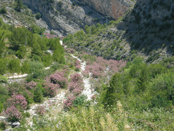

A route with beautiful seascapes
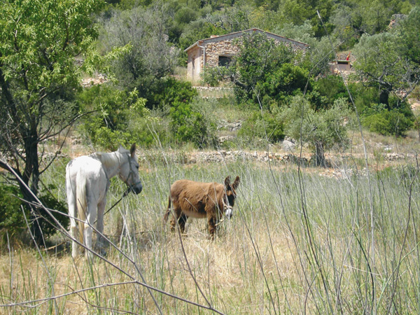
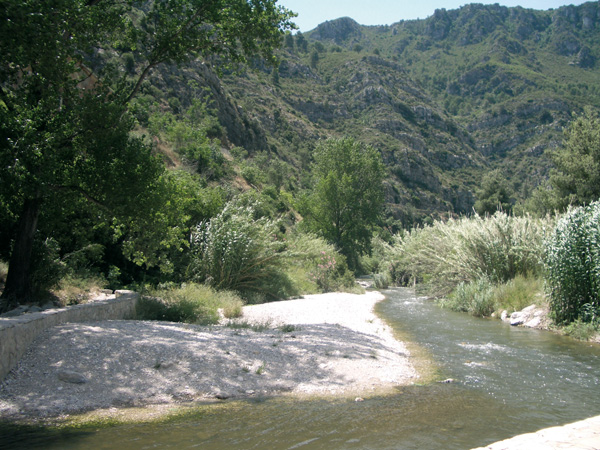
If indeed the toughest route of the series, the effort of climbing up to the municipal district of Pinos, at the feet of the Bernia Mountains, is rewarded with the magnificent views of the entire coast that we can enjoy from these heights, or with a nice lunch that we can relish at one of the local restaurants. The climb is made along a secondary asphalted motorway with no much traffic, which enables us to choose the best possible pace to our stamina. We can also make a stop at the cave paintings of Morro de la Francesa, found just a few meters off the road.
Calp.
Itinerary
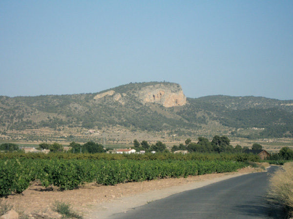
From Calpe station we see before us the amazing bulk of Peñón de Ifach. Behind us we have Sierra de Oltá. If we wish to visit the town, we will take the road on the left, but we must take into account that the slope is quite steep and this entails adding 8 km both ways.
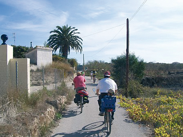
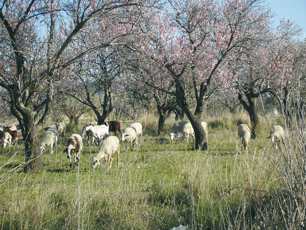
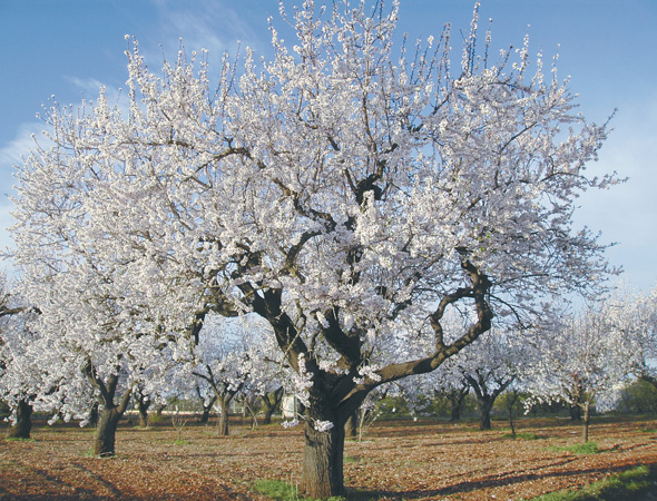
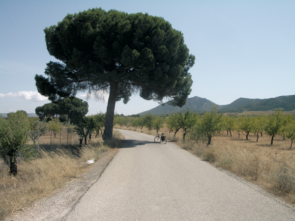
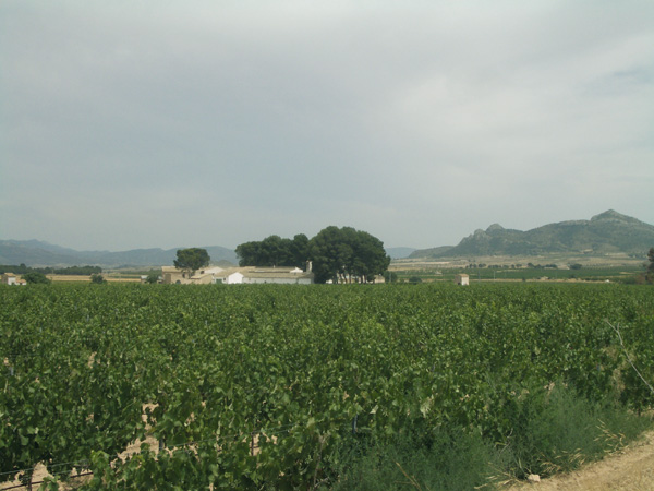
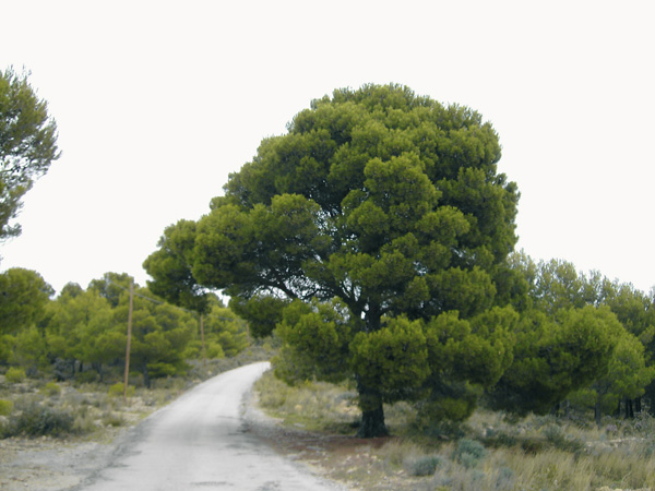
We set the distance meter to 0 next to the telephone booth and start off to the left. At a few metres (0.06) we see a way on the right running parallel to the train tracks and along which we continue to soon come across a steep slope down. We arrive at the national motorway (0.74) and continue left along the hard shoulder, where we have to be extremely cautious as this is a very busy stretch. At the sharp bend on the right (1.60), we see a roadway on the left with a sign indicating "Casa del Maco", along which we continue. We enter a quiet zone of pine tree groves. Soon the fields of almond trees and vineyards appear as well as Sierra de Oltá on the left. We ignore a way on the left (2.65) indicating "Casa del Maco" and proceed straight, to pass shortly after under the railroad bridge. The road goes up with a given slope among curves and pine tree groves as we start sensing the smell of aromatic plants. We always continue along the main roadway. At the end, a barren mountain known as Solana appears before us. We ignore a roadway on the left (4.55) and continue going up to arrive at the hermitage of Sant de la Pedra (XVII Century) (4.92).
We continue parallel to the motorway on our left. We ignore a way on the right (5.52) then reach a road (6.53) and continue going up on the left. Halfway through on our climb up, (6.69) we take the first dirt track to on left along which we cross a bridge over the motorway. At the end of this, we turn right into a dirt track. We ignore a way on the right (7.93) that passes under the motorway and proceed towards the aerial and the group of houses on the left. We reach the road (8.40) and take left. So far, we have completed the toughest part of the route. On the following kilometres we will find scarce vegetation and the climb up over asphalt will not be as rough.
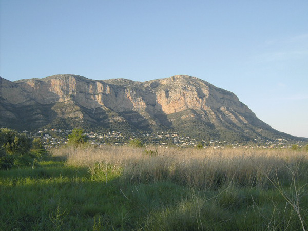
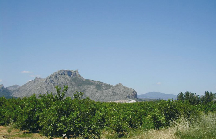
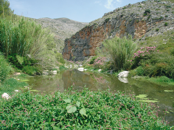
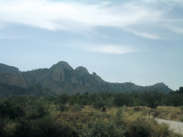
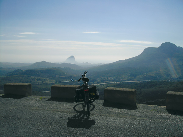
After a curve on the right (11.22) we see a sheltered area on the rock and a sign indicating "Pinturas rupestres (cave paintings)". We come close on foot to the shelter where the paintings are, although deteriorated to some extent and hard to make out. These are works or great value as they belong to the so called Cave Art of Levante, located on the east strip of the Iberian Peninsula and dating back to 6000 and 4000 B.C. It is characterized by its naturalist reproduction of hunting, dance and harvesting scenes. On the same curve, there is a viewpoint from where the Peñón de Ifach can be seen and the entire coast of Calpe. We continue climbing and arrive at the municipal district of Pinos (13.28), where we stop the distance meter at the indication sign to get our strength back in one of the restaurants here. Besides the coast, we can also admire from above the impressive bulk of the Bernia and Oltá mountains. If someone dares to climb onto Bernia, they would only need to continue a few kilometres further up.
The route turns round along the same road we took to come. After the effort of climbing up, now follows the reward of climbing down. Instead of dashing down at high speed it is far more pleasant to pace our speed and enjoy these spectacular views of the blue sea and the coast before us.
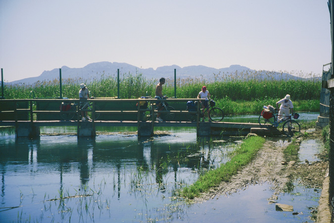
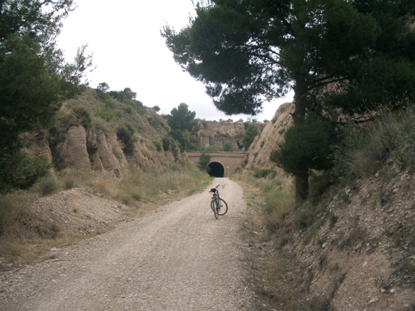
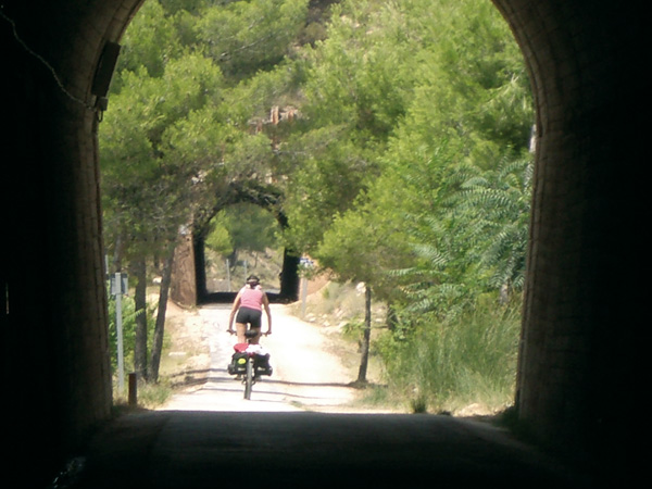
Going down on our bike gives us sometimes the impression of being flying. We pass once more the aerial and continue to a bend to the right (19.28) where we see a blue bridge. On the left we see a way with a sign banning vehicles over 7 tons, running parallel to the motorway among vineyards and country houses. We arrive at the Jalón-Benissa road (20.54) and continue along the cement way before us to an asphalted way (21.06). We turn right towards the motorway, which we cross through a small tunnel, at the end of which a good climb awaits us. We enter Benissa along "Carrer Joan de Joans" (22.85), from where we can visit the town. (Stop the distance meter).
We resume our route from the Tourist Information Office, located at the end of Avenida del País Valenciano. From the roundabout, we can see a narrow street betwee the "Giner e Hijos de Juan Ribes" business premises. We get off our bicycle as this is a no entry street. We reach a crossroads (22.06) and continue straight along the slope. We reach a wide asphalted road (23.24) that we take on the left. Then we follow the sign to arrive at the train station where we finish the route (23.55).
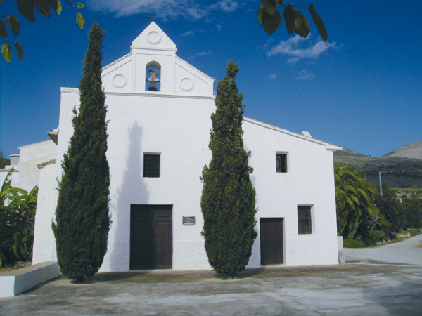
Hermitage of Sant de la Pedra.
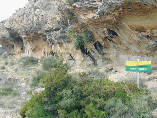
Cave paintings of Morro de la Francesa.
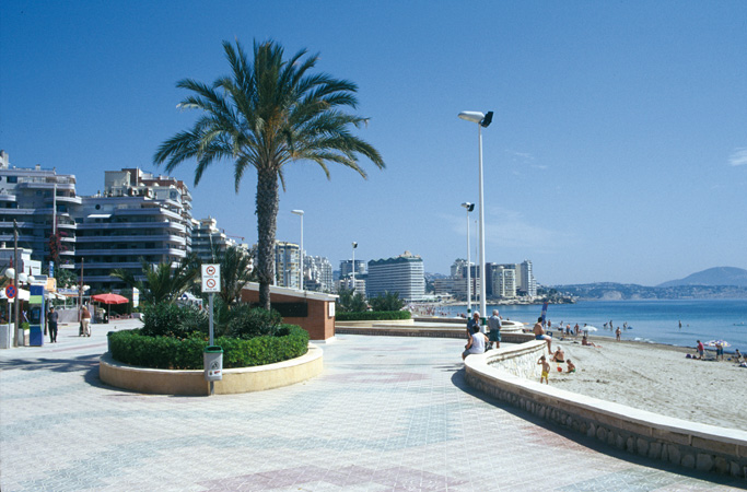
Coast view.
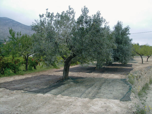
Traditional fashion to harvest olives with a net.