
Cycling across lands of history and tradition
This circular route enables us to connect Gata de Gorgos with the town of Valle del Pop and come close to their history, traditions, gastronomy, festivities and landscapes. Following the Jalón riverbed, we reach a large viticultural plain where these small and peaceful towns are settled with their narrow streets, Arabic past and bell towers standing out above their whitewashed houses. Among valleys, pine woods, fields of carob and almond trees, we return once more to Gata de Gorgos.
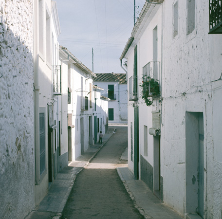
Senija.
Itinerary
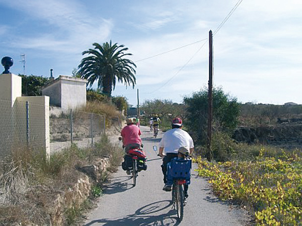
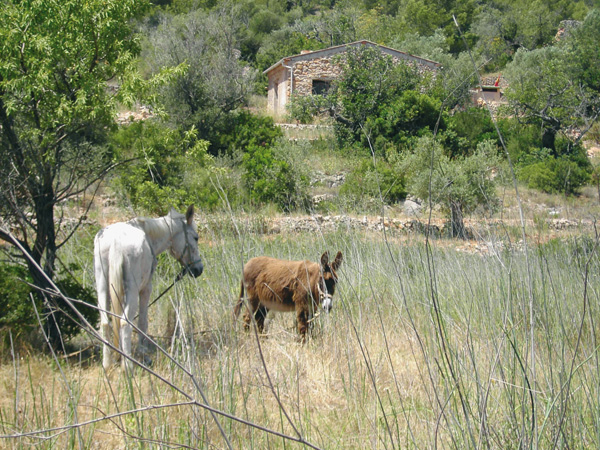
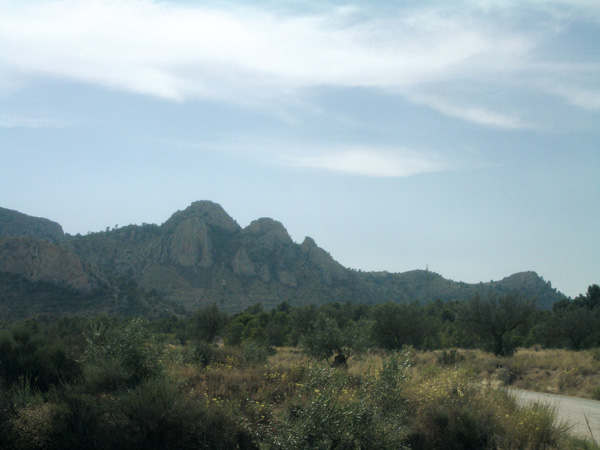
We start off from Gata de Gorgos along the Jalón-Llíber road and set the distance meter to 0 right at the yellow post indicating the town's population. We pass under the motorway tunnel (0.69). The next 800 meters run along a quite wide and steep road turning after into a secondary and quiet road among mountains, not very busy with traffic at weekends. Traditional houses surrounded by fields of almond trees and vineyards can still be found around this area. The terracing system, built to gain land from the mountains for farming purposes, can also be seen.
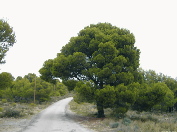
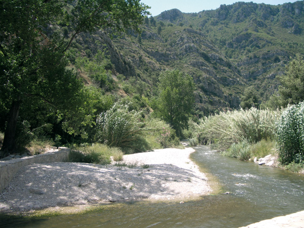
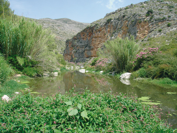
Once past mileage point 6 (5.58), we will stay alert to continue along a dirt track to go down to the right (5,89) where there is a sign banning traffic over 10 tons, taking us to the Jalón-Gorgos riverbed that we will go surrounding towards Jalón. This route stretch is particularly pleasant with farm fields alternating with wild Mediterranean vegetation in a area that is almost uninhabited by humans. Pine tree groves provide good shade for relaxing.
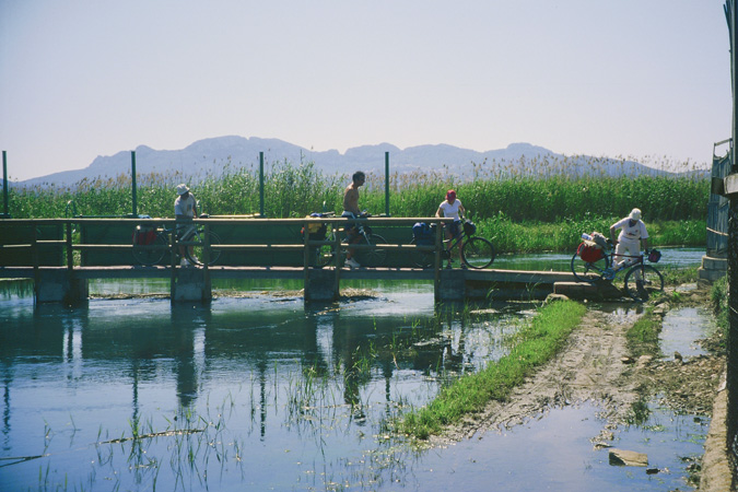
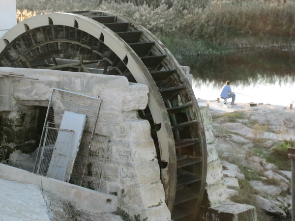
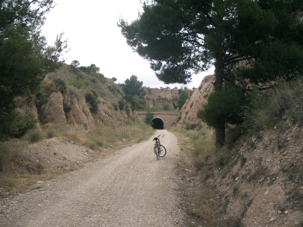
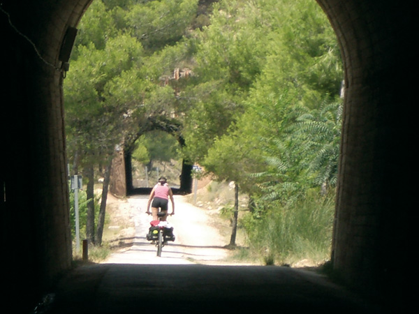
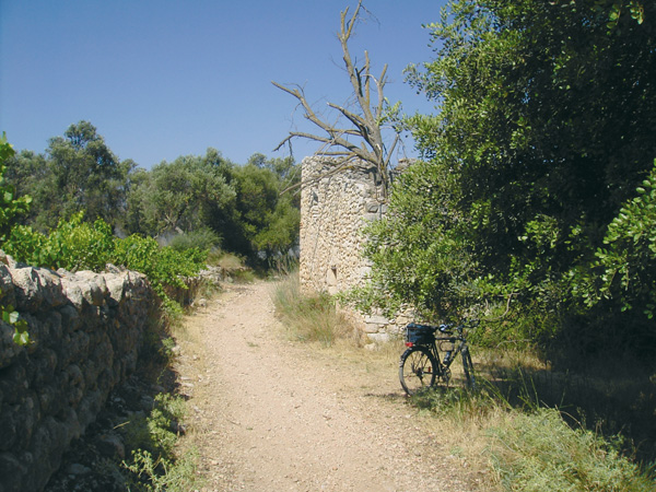
(7.84) The dirt track ends, turning into a kind of cemented canal (8.05) along which we continue. Just before going out onto the road, we see a small dirt track with a stone wall on our right (7.84) and a number of GR marks ("long route trail"), along which we proceed. Parallel once more to the Jalón-Gorgos river, the road soon becomes a trail that may force us to dismount our bicycle at some point. It is one of those ancient roads no longer in operation that used to connect Llíber with Jalón. We arrive at Jalón to find ourselves right before the "Bicicletería" (10.00), a curious mix of independent museum-recycling shop, worth visiting and where if needed, someone can even help us solve any mechanical problem with our bicycle. We stop the distance meter here, as it is a good spot to start visiting the town.
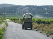
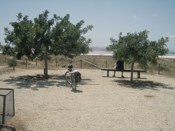
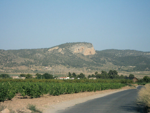
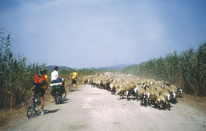
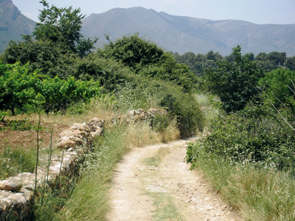
To resume the route, we turn left onto a roundabout and proceed towards Llíber (10.28). We see the town at the end of the road but our wish is to go among vineyards, therefore we take an asphalted way to the right (10.79), where there is a sign banning vehicles over 10 tons. We are now at the most important viticultural zone of Marina Alta and as far as the eye can see, there are only vineyards surrounded by mountains. We follow the route, coming across a number of ways on the left leading to the town of Llíber, worth visiting. We reach a Stop signpost (11.75) and continue straight onto another Stop signpost (11.94) where we continue on the dirt track before us. We arrive at another dirt track (12.39) and continue to the right. We ignore a path on the right (12.59) and start the toughest climb of the route along a way among pine trees. We reach a way (13.28) and continue going up right to arrive at a road (13.59). We continue to the right to soon reach the highest point where we can make a brief pause to catch our breath and admire the views.
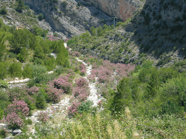
We enter Senija and go down as far as the Town Hall (15.88), where we turn left along Santa Cruz street to continue next right along Diego Ivars street, at the end of which (15.98) we turn right and then left to exit the town. Two small roads appear before us but we take the one on the left, on a pleasant way down among vineyards and almond tree fields, taking us onto the motorway (16.87) where we turn left to ride along in parallel. Further on we will pass under it (17.01) then reach a small road (17.16) and continue left, always straight and ignoring the road to the cemetery. We get deeper into the mountains, more and more each time, while the landscape becomes increasingly rugged. We come across terraced lands where carob, olive and almond trees stand out among small pine tree groves. The only distorting element around here is the noise and the sudden appearance of AP-7 motorway. The asphalted way ends at "Pou de Canorâ" (18.59) which is a drinking water supplying facility. From here we ride on dirt, over not so good conditions, which make this a little difficult part of the route. We pass under the motorway (19.09) and turn right. A little further on, we see a way on the left (19.25) but we continue straight ahead. We pass once more under the motorway (19.74). The way becomes again filled with loose stones and may force us to dismount at any moment. We must also consider that, in rainy weather, it may be mudded and difficult to run along. On the last kilometres, the route runs embedded among mountains as we enjoy the view of mastic trees and blackberry bushes, as well as the aroma of rosemary and thyme. The road condition improves and we pass once more under the motorway (21.53). We reach a road (21.99) and we continue to the left among almond tree fields and an intensely red soil. We come out on the Gata de Gorgos-LLíber road (22.25) and turn right. Shortly after we pass again under the motorway and enter Gata de Gorgos (26.13).
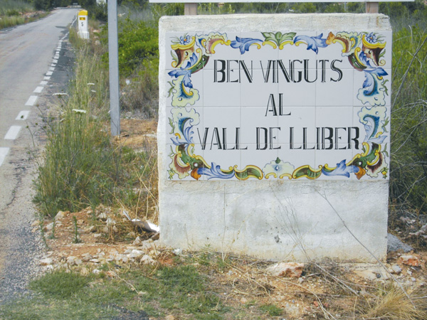
Entrace to Valle de Llíber.
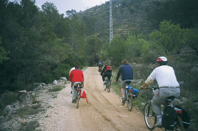
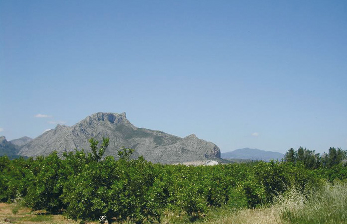
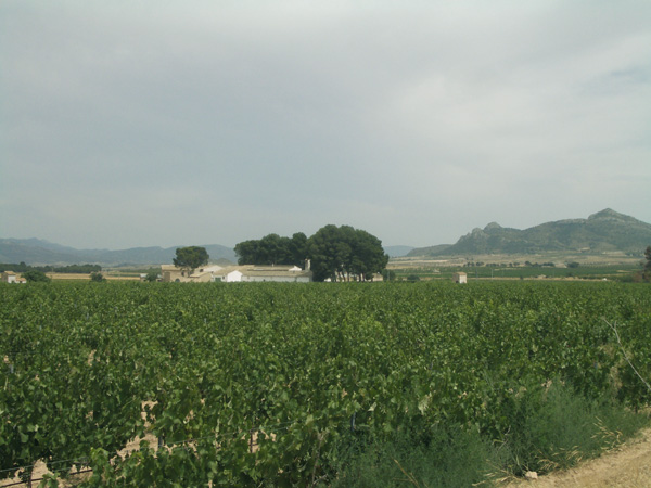
Valle del Jalón.
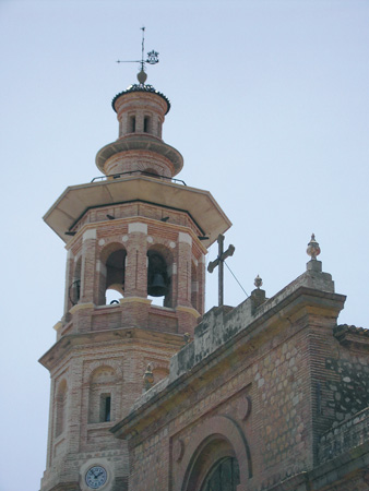
Church bell tower. Jalón.
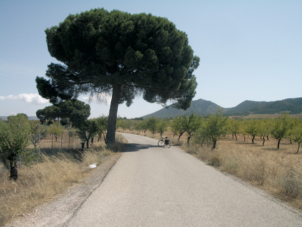
Jalón Road
Senija Road.