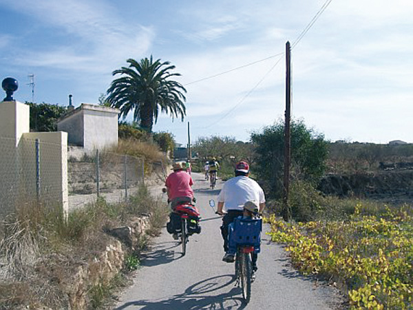
Pedalling among lagoons
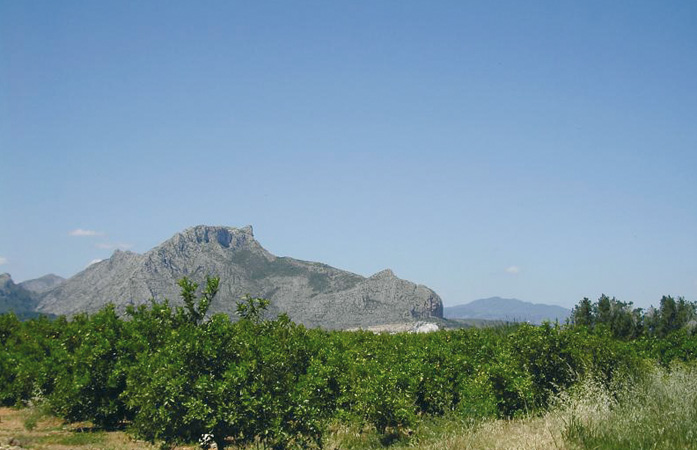
In spite of the significant urban development experienced by Torrevieja in recent years, we can still find natural spots here such as La Mata and Torrevieja lagoons, where we can enjoy the contact with nature. The Information Centre, located at the start of the route, is the perfect introduction to what we will find through our ride. The second part of the itinerary runs along the old train design that used to connect Torrevieja with Crevillent. At the end of our route awaits an interesting visit to the Interpretative Centre of the Salt Industry that will open our eyes to the importance this activity has had in the history of the town.
Salines marshes.
Itinerary
We begin the route at the Information Centre of the Natural Park of Lagunas de La Mata y Torrevieja. The Alicante-Cartagena bus route stops right in front of the centre.
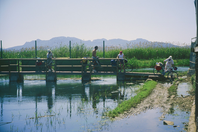
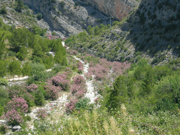
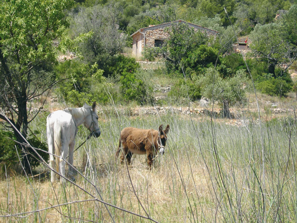
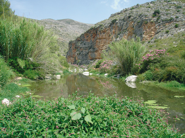
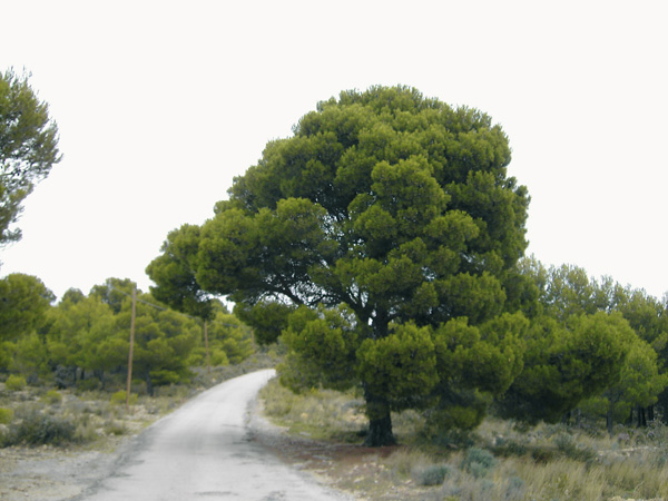
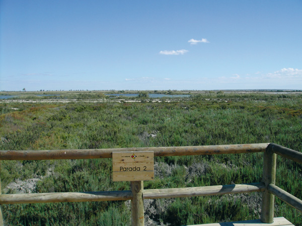
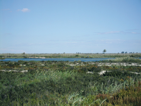
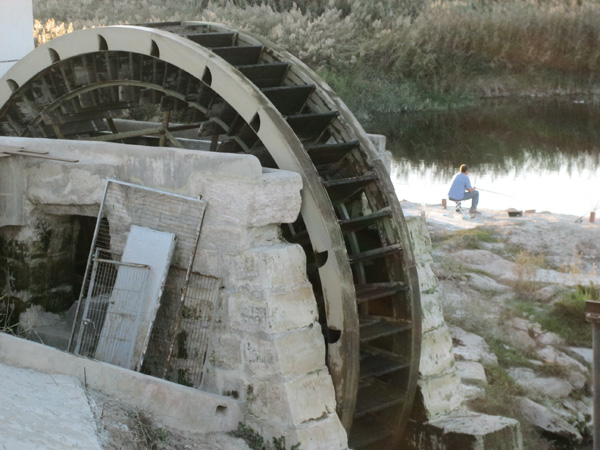
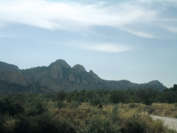
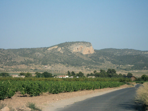
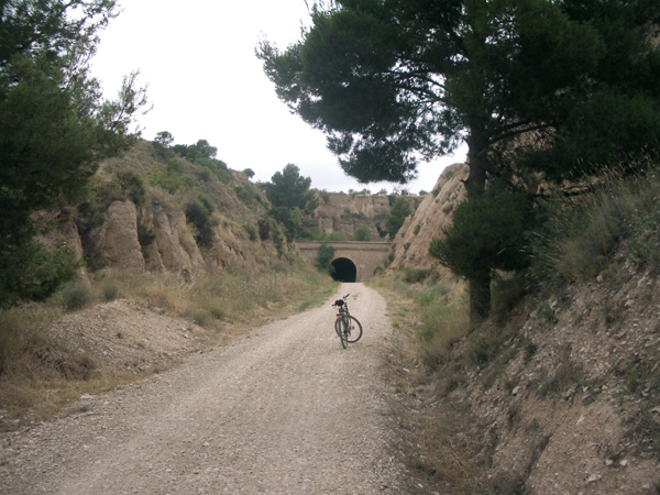
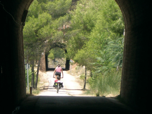
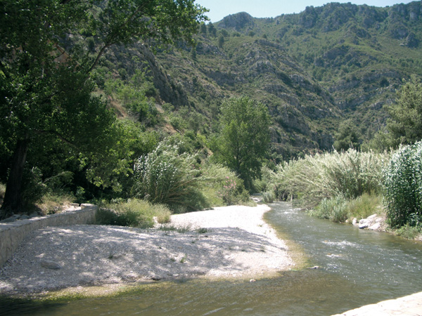
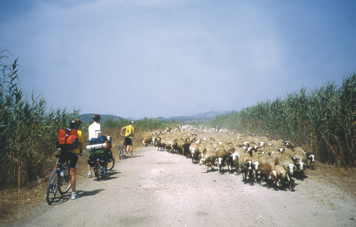
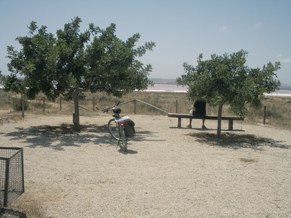
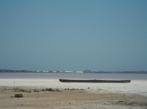
After visiting, we set the distance meter to 0, right at the sign indicating the start of the red route for bicycles that we will follow for a while. Just as we go out we come across a viewpoint on the right from where we can admire the magnificent scenery offered by the lagoon. At the end of the cycle lane (0.87), we see an informative panel next to the road. We follow now the yellow route sign. We reach a pleasant pine grove where tables, benches and a bird watching tower are available (1.30). We continue on the way, following once more the red marks among abundant, low pines that let us peek through their green tops at the blue of the lagoon. The observation posts found on the way are a good reason to pause and admire the different birds inhabiting or just passing through the zone. If we have planned ahead and brought along our binoculars and a bird guide, we can keep ourselves busy trying to identify them. After a short climb (1.95), the red sign points to the left. If we wish to complete a short route, we can do so and then return to the interpretive centre, but if we wish to continue pedalling and get familiar with the lagoon, we continue ahead passing between the pines that will be our companions for a good deal of the stretch. We will soon come across another observation point deepening into the lagoon. Shortly after, we enter a flora micro reserve zone where we will be extremely careful not to leave the way so as to avoid any damage to the plants. We pass among isolated groups of eucalyptus trees and plants adapted to the harsh saline conditions such as seep weeds. The road by the lagoon ends next to an observation tower (6.25). If we look on the right we will see a house in ruins at the shore of the lagoon. This is the motor that pumps water from Laguna de La Mata to the one of Torrevieja. We continue along the trail that we see on the left of the tower onto a roundabout. Without touching the asphalt, we continue left a few meters on the cycle lane and then cross the motorway to the other cycle lane. Right there we see before us a small cross country trail and Laguna de las Salinas in the background. We follow it to come across the old train track, now turned into a green way (6.80) and turn left into Torrevieja direction. Soon we will find a small resting area (7.80) inviting us to admire the lagoon. Dusks here are indeed a great spectacle. Later (9.29) we find a second resting area and shortly after we find ourselves surrounded by reedbeds. The dirt track ends (10.19) and we continue on the asphalted lane that already runs through an urbanized area. On the right we can witness the saline marshes (12.81). At the end of the route (13.60) we can visit the magnificent Interpretative Centre of the Salt Industry facilities (Tel.: 965 705 888) and the old Torrevieja station, restored and located within a beautiful park. Inside we will find the "Joaquín Chapapietra Torregrosa" exhibition and conference room that is part of the Culture Municipal Institute. (Schedules: Monday to Sunday from 11:00 to 13:30 and 17:00 to 20:00 h.). We can also visit the saline marshes, although our visit must be previously booked at the Laguna de La Mata Information Centre.
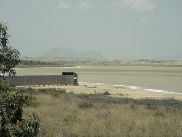
The observatory.
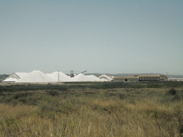
Salines marshes.
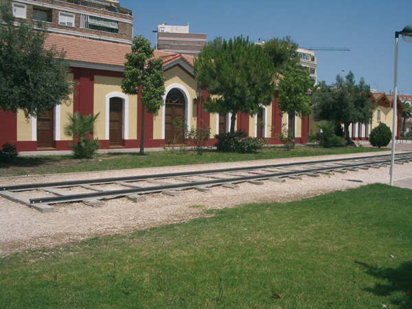
Old Torrevieja Station.