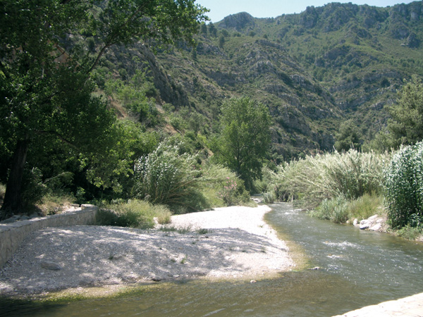

Pedalling along borders unknown to the very river
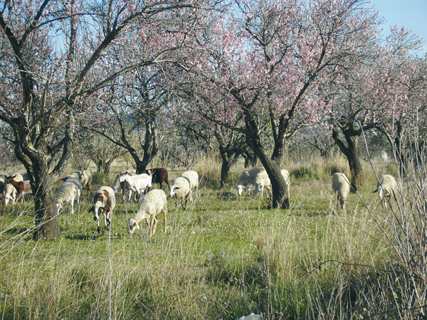
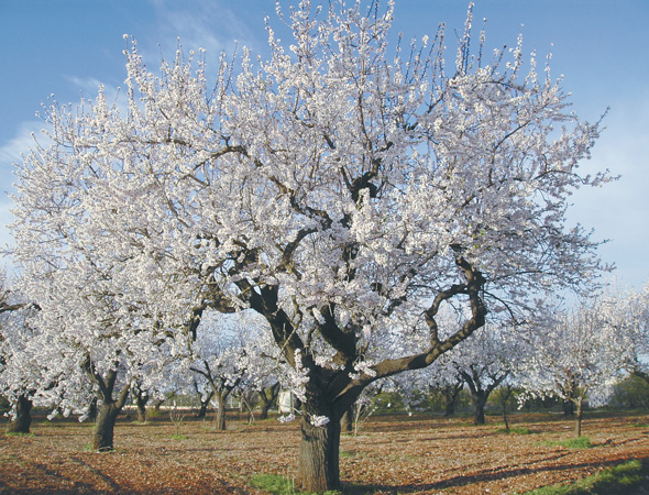
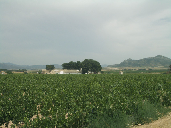
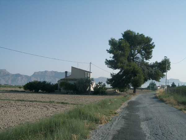
Coming out of Orihuela, we go up the Segura river along the left margin, taking us along a pleasant route to Beniel, the first town in Murcia. Here we can admire the hills of Mojones Reales, known as the "Pinochos", appearing on the town´s coat of arms and which in the Middle Ages marked the frontier between the reigns of Castile and Aragon. Still today, they mark the limits of Murcia and the Valencia communities. In the XVII century hydraulic canals and works were used to drain this marshland zone and avoid frequent flooding, thus giving birth to this productive farm land on which fields we recognize the crops stuffing our markets. The modest houses and people that we encounter remind us of scenes from other times and other places.
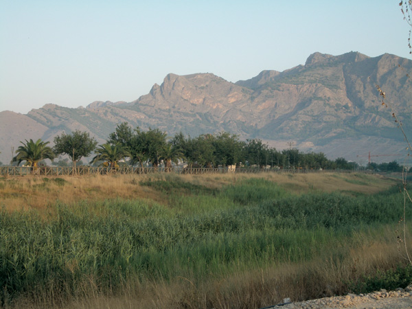
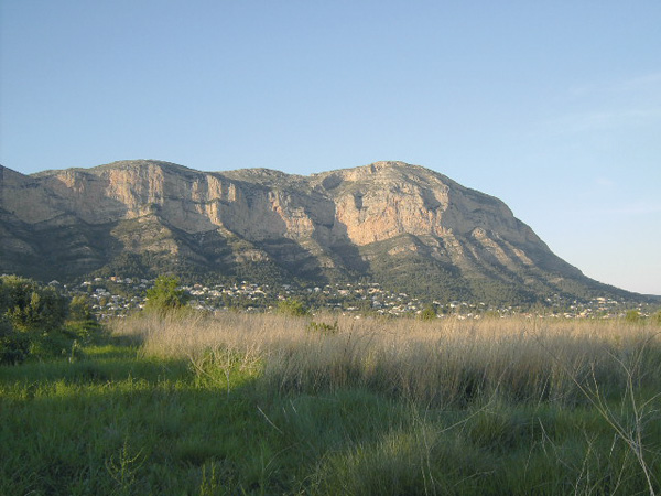
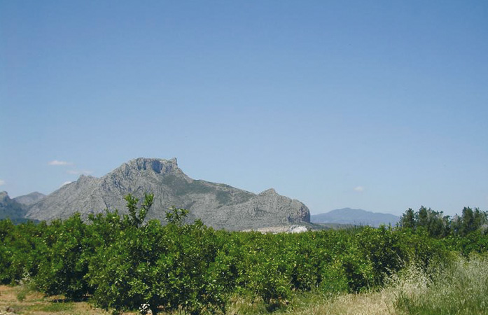
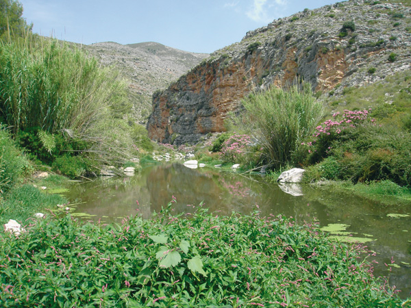
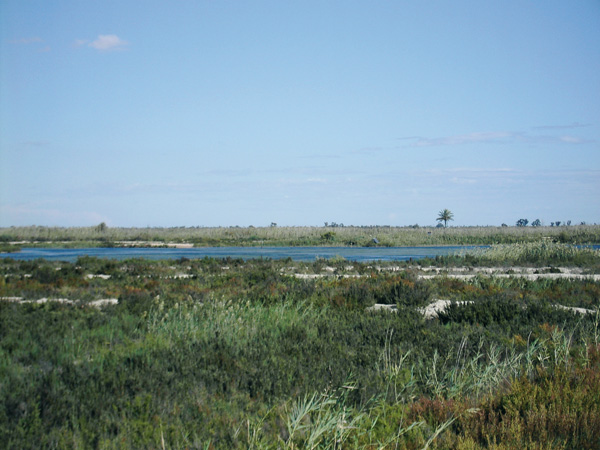
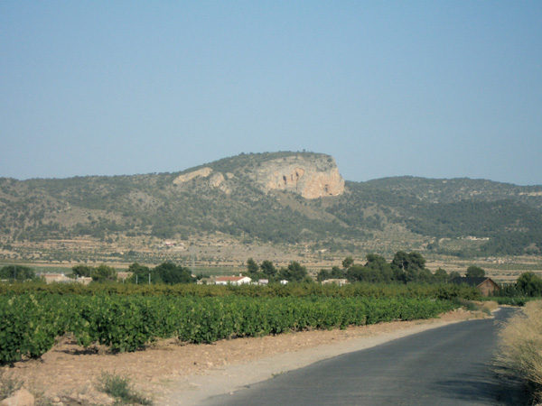
The Segura river and the Sierra de Orihuela.
Itinerary
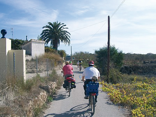
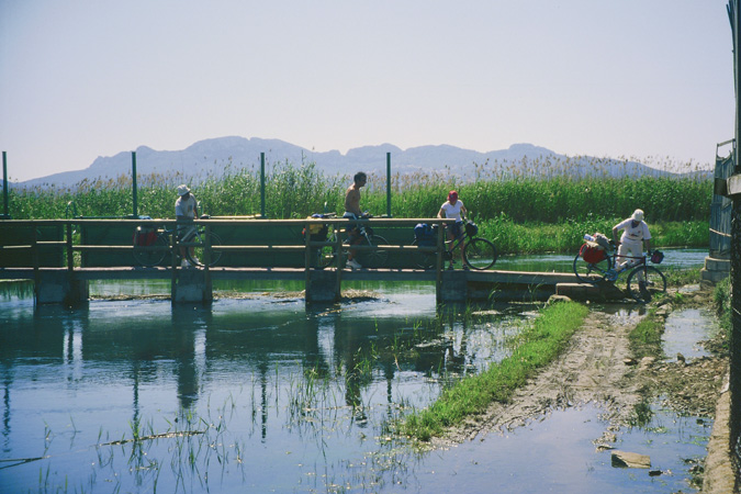
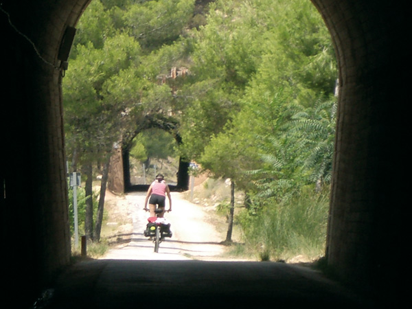
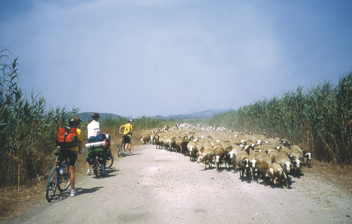
To go to the start of the route, we exit Orihuela along Sol street, located near the National Police Station. At the Stop signpost, we turn right into Mota del R’o street, following the sign to Alicante-Murcia. Just as we go over the bridge, we see the dirt track going parallel to the river bed on the left. We set the distance meter to 0 at the sign "no entry except authorized vehicles". In the first minutes we will pedal onto the large mass of Sierra de Orihuela, presenting itself before our eyes with all its magnificence. The fields on our right, and the palm trees at the side of the road, lend this comfortable route a nice look and the small trees recently planted will yield years of pleasant shade. We pass under the large pipe of the Tajo-Segura water works (2.43), one of the most important hydraulic engineering projects ever carried out in Spain. Although devised in 1933, its construction was not started until year 1966 and finished in 1979. We cross a small road and continue next to the river bed. We see the marks of the GR 250, known as Camino del Ap"stol, leading to Caravaca de la Cruz. We reach the last bridge before Beniel (6.93) that we can already see before us. We always continue next to the river bed to arrive at the bridge (7.57) closed to motorized traffic and giving access to town. Here we stop the distance meter to visit the place. To resume it, we go out along Avenida José Pujante. Just as we cross the train tracks, we turn left into Calle de la Estación. Right beneath the street sign, we start the meter again.
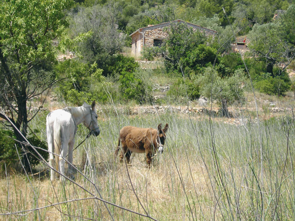
At the Stop signpost at the end of the street (8.19) we turn right and exit town through a colourful neighbourhood made up of small houses. From time to time, we see crop gardens behind them, the basis of the economy for the families living there. We pass a small canal with green and yellow railings (10.02). We continue straight and take the first road left (10.17) called "Carril de los Murcia". Once more we ride among farm lands. We leave past a horse breeding ground on the right (10.50). We pedal among fields of chard, orange trees and broccoli. We reach a way (11.42) and continue left through the Vereda de Liorna. (6.23). Right before passing the small bridge over the canal (11.60), we turn right into the way parallel to it, where waterfowl such as moorhens and coots are common to be seen (13.52). We reach an asphalted way and turn left. Once more we come across another colourful neighbourhood whose inhabitants are devoted to farming, and where the locals and the elderly sitting at their doors pleasantly talking are a common scene. We go up the bridge (14.56) that crosses the train tracks. We reach a Stop signpost (15.78) and take the cycle lane on the right, leading once more to Orihuela. At some point we will have to change pavements, as the bike lane ends. At the second roundabout (16.43) we come across the large pipeline of the water works again. Just as we leave past these, we see on the left a dirt track that we take to get to the riverbed. Once there, we continue on the right to arrive, with no further detour, to Orihuela (18.90).
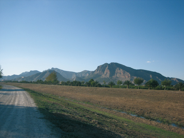
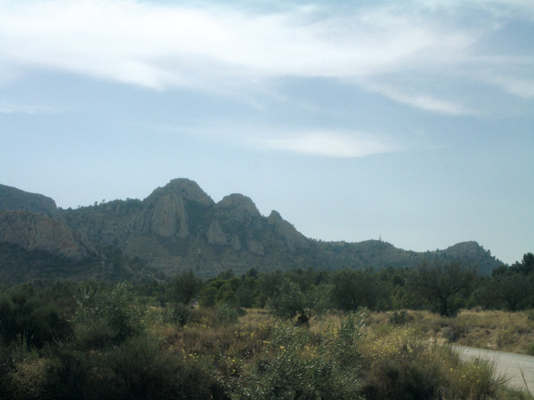
The Sierra de Callosa and the Segura riverbed
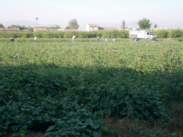
Fields of Beniel
Farm lands.