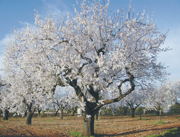

Among almond &, orange trees and the smell of orange blossom
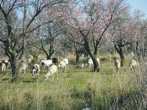
This time our cycling tour runs across farm roads among almond and orange trees. The pleasant smell of orange blossom in April and May will make our route a more enjoyable one. The towns of Pedreguer, Pamis and Ondara have interesting activities and holydays throughout the year that we can get familiar with and come close to on our bike.
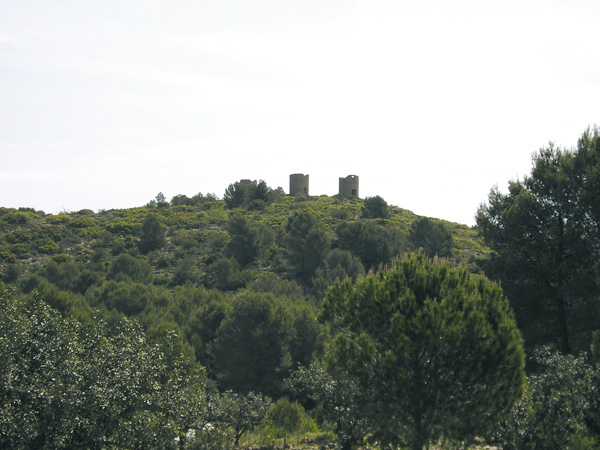
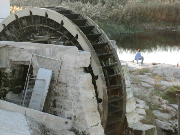
The mills of Jesús Pobre
Itinerary
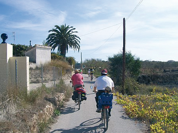
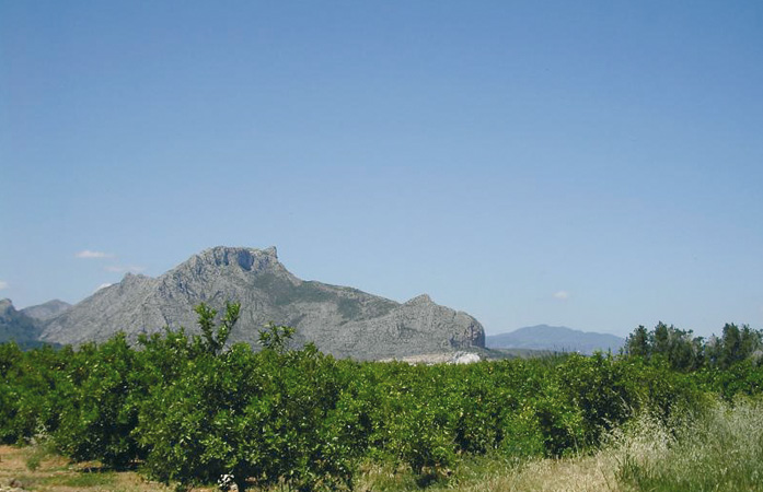
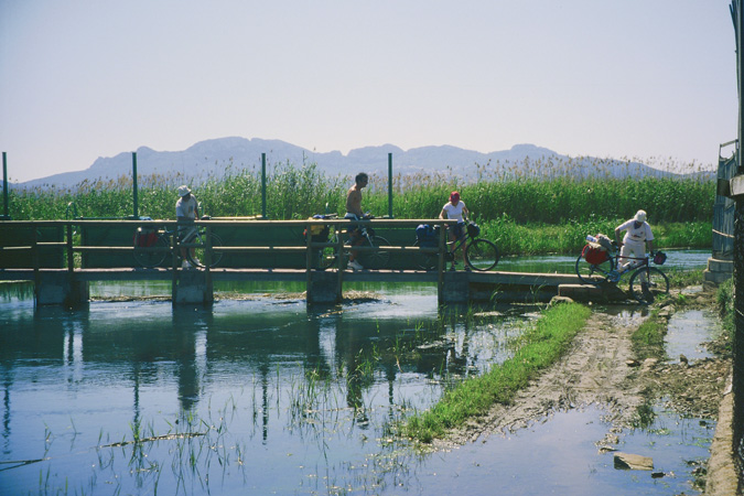
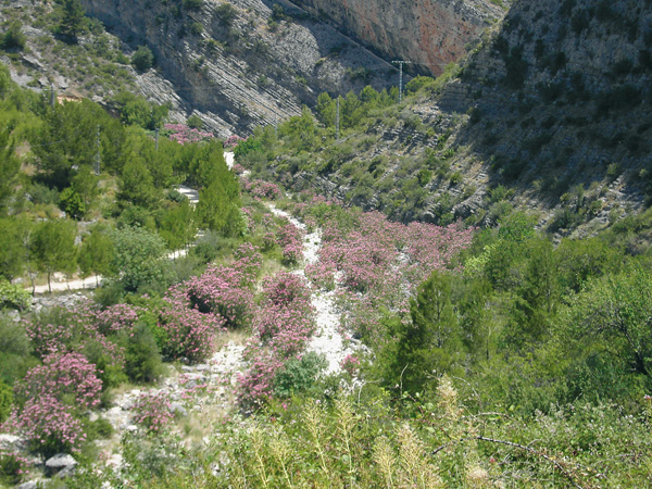
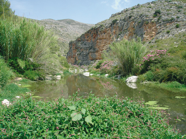
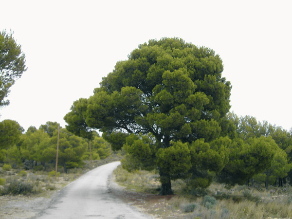
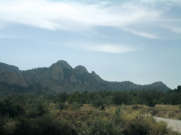
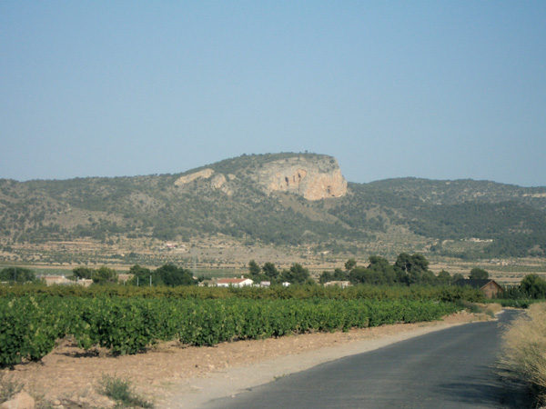
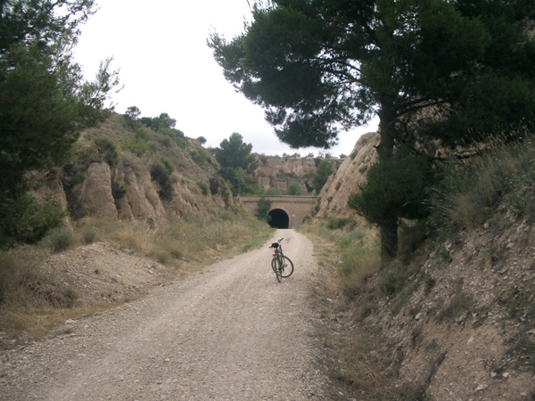
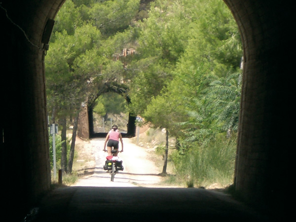
We begin at La Xara station, going through the first 40 metres (0.04) towards Alicante. The asphalted road turns right and we cross a small ravine. Then we turn left and shortly after we go out onto a highway (0.38) to proceed left. Next we will see an ancient house on our right with a water well and a number of already barren lands. Although in ruins, we get an idea of how the farming houses in this region used to be. On our left we can admire one of Mount Montg— foothills, known as Pico del çguila, on which top have been found the remains of an Iberian settlement. Arriving at a stop signpost (0.85) we will continue straight. Then we will cross the train tracks (1.19) and over a hill on the horizon we will see the silhouettes of the three abandoned mills of Jesœs Pobre, used to grind the cereal grains cultivated in the zone in the old days. Taking this road during orange blooming season (from April to May) will delight us with the pleasurable aroma of the orange blossom. We will see traditional-type houses that have been restored and nowadays are mainly occupied by Spaniards as a second home. Next we will pass the golf course of La Sella and arrive at a road on the left (3.02) leading to Jesœs Pobre; but we will continue straight ahead where a signpost bans vehicles heavier than 12 tons. This stretch is one of the most beautiful and quiet of the route. Although there is a slight climb up, it will not prevent us from enjoying the characteristic Mediterranean views gathered here: carob, almond, prickly pear trees and vineyards... We arrive at a bridge over the train tracks (3.84), and then cross it, not before admiring on the left the great number of pigeon breeding cages. The road turns here into a smooth climb down that will let us enjoy the ride without the need of pedalling. We arrive at a zone (4.49) with many industrial buildings. Turning right we will cross national road 332 very carefully to proceed towards Pedreguer. We will take extreme caution as this road is usually busy with traffic.
Just as we pass through the motorway tunnel, we turn right (5.50) on "Assegador de l' Oquí", leading us parallel along a stretch onto a road on the left (6.41) where a signpost bans vehicles heavier than 12 tons, and on which we will proceed. Further ahead we will see a large well (6.71) as the ones that used to be very common in the past around the area.
Always straight, we proceed without taking any detour reaching a stop signpost at the Pedreguer entrance (8.45). From here we can hang around the streets, stopping the distance meter before.
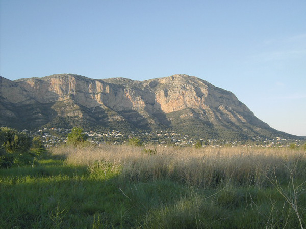
To resume the route, we look for the highway going to Orba and Benidoleig and connect again the distance meter exactly at Augusto Villalonga Alemany street intersection. After passing the population signpost, we turn left by the ÒCami de la TorreÓ (8.86). Here we see again traditional farm houses, some of them restored and turned into second residences. We arrive at a stop signpost (9.35) and turn right to continue on ÒCam’ del Pou de la OvellaÓ. At the next stop signpost (9.71) we turn left, passing between a white house and Villa AngŽlica. A few meters forward (9.89) we turn right on a road where a signpost bans vehicles heavier than 12 tons. We begin now a pleasant ride down to find on the left ÒCam’ de les PasseresÓ (10.76), a road on which we continue. We keep on straight, ignoring a road on the left, and at the fork, in the middle of which there is a stone wall with number 235 (11.46), we continue to the left. We arrive at a stop signpost (12.52) and continue to the right passing a small ford. We reach the crossroads (12.70). In front of us we have Sierra de Segaria in all its grandeur. We continue to the right, now with the perspective of Mount Montg— in the background and surrounded by orange trees. We see a power pylon and a sharp bend on the left (13.84) but we proceed straight. We arrive at a stop signpost (14.25) and continue on the right only 30 meters to turn, before the guardrail, into a path on the left. Passing on our left the ancient cemetery of Pamis (14.91) (now a ruin) we arrive next to a highway where we turn right. We reach Pamis exactly at the front of its church (15.39). We proceed left and after passing the sports complex we arrive at a stop signpost (16.15) then turn right. For the next 400 metres we will be extremely cautious, as there is busy traffic and no shoulder. After the roundabout we arrive at Ondara and stop the distance meter right at the yellow signpost indicating the population (16.55). Suggestion: enter through the street on the left, as is less busy.
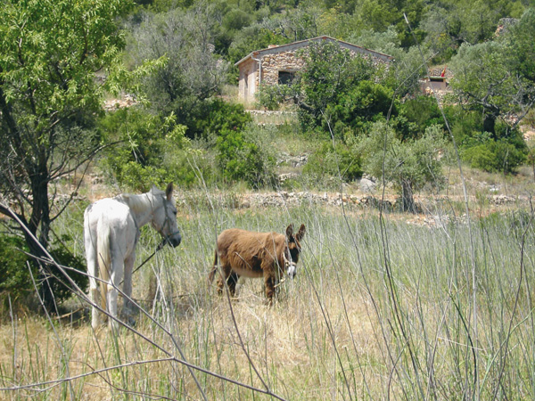
In order to exit Ondara we will go to the end of DŽnia street. At number 77 Ðopposite Sanchis Guarner school- we start the distance meter and take the cemetery road on the left. We arrive at a junction (17.10) amid which there is a barnyard where horses and ponies usually roam. We move forward to the right and we reach a road (17.74). We follow a small road opposite, at about 10 meters on our left. Shortly after, a slightly steep climb begins, at the end of which, if we look closely on the left, we will see a tower known as Torre Carrals, dating back to the Middle Ages (18.70).
Continuing straight we reach (19.20) another road on which we carry on to the right. At the stop signpost of Ondara-La Xara highway (19.78) we continue straight. Then come across another stop signpost (20.70) on Pedreguer-La Xara road and then continue straight. After a steep but short climb down, the road goes onto a sharp bend on the right and we proceed left (21.53) on the dirt road that we are already familiar with, at the end of which (21.95) we find the ravine at the route start. We go up, and after a few metres, we reach La Xara station again (22.02).
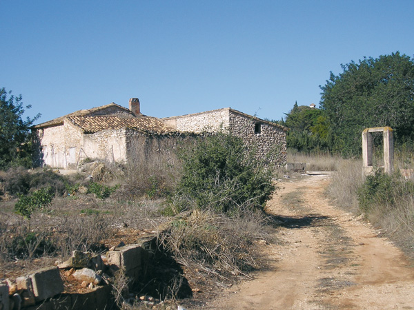
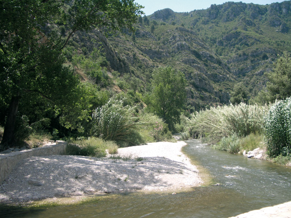
Surroundings at la Xara.
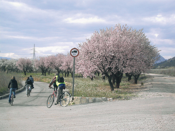
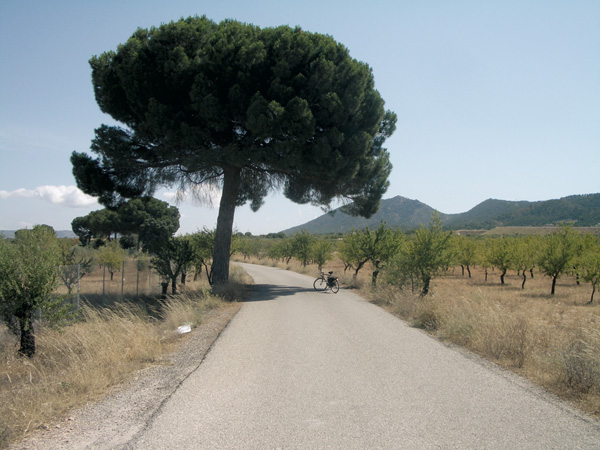
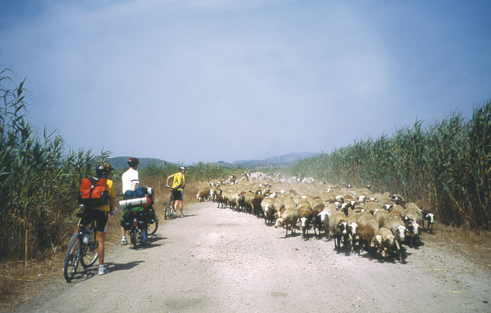
On the road to Pedreguer
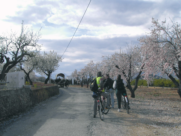
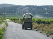
Meeting of ecological transportation in Pedreguer
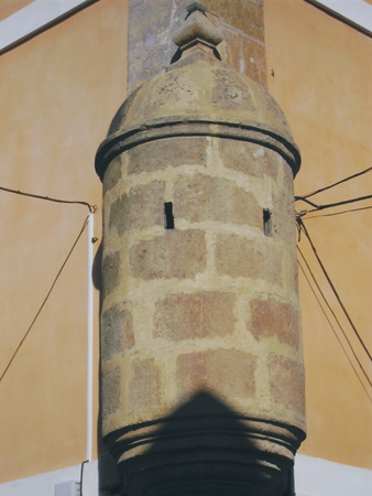
Towers at Ondara
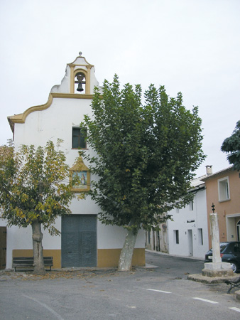
Church of the Santos de Abd-n and Senem. Pamis
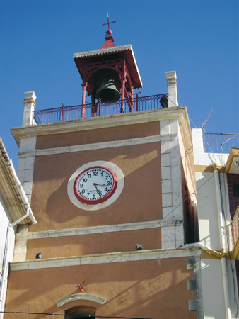
Clock tower. Ondara