
The fortresses of Xixarra
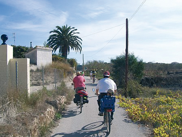
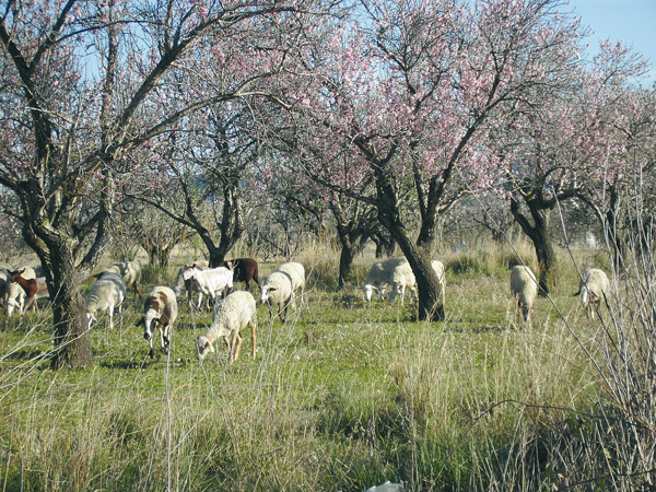
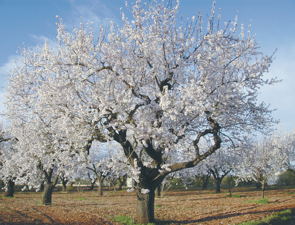
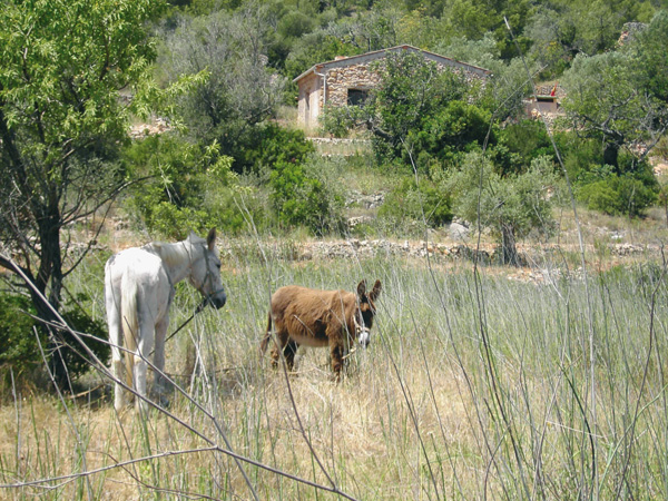
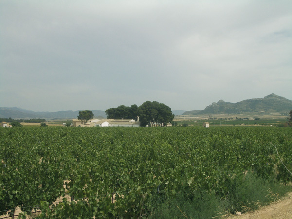
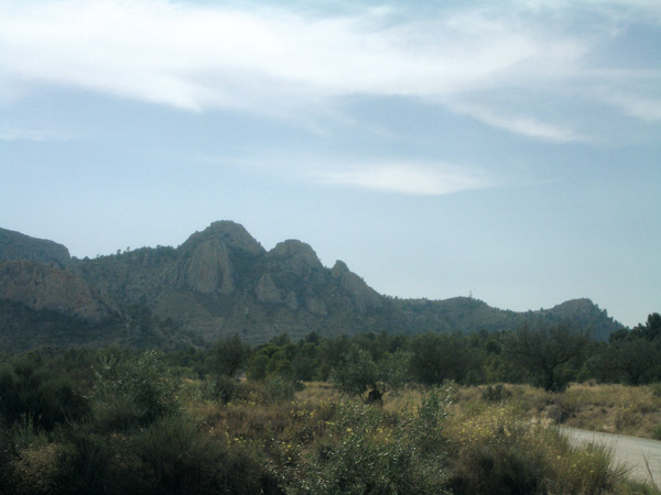
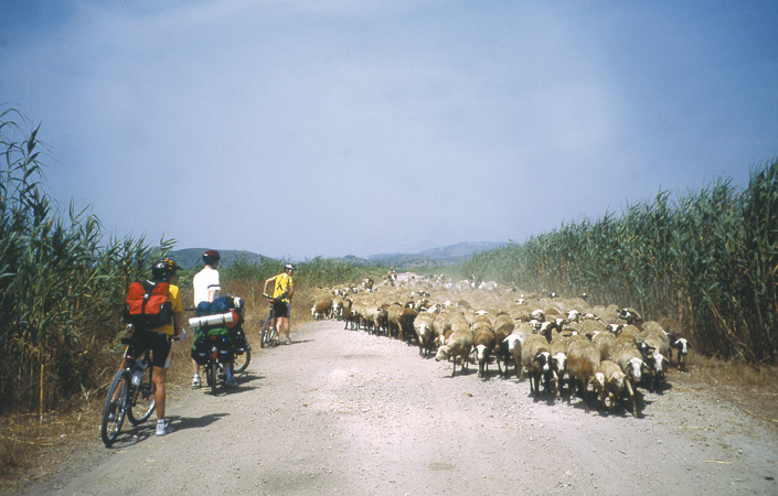
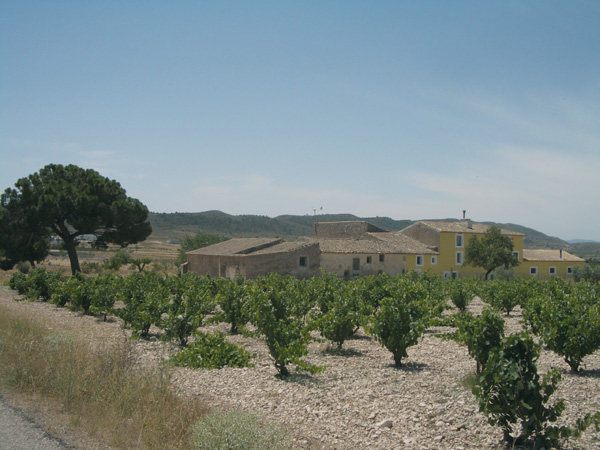
This is a route for letting the imagination fly back to the times when the Alto Vinalop— region was a land disputed between the Muslim and Christian reigns. To reinforce their boundaries, the Arabs created strongholds that were gradually surrounded by towns from where they controlled the strategic means of communications. We arrive at these fortresses and towns whose names mark our history by following another historical road, the popular "Xixarra", a narrow track railroad that used to connect Yecla, Villena and Alcoy, and that vanished in the early 70s. During our pedalling, we notice another rapid change currently happening: that of traditional and modern farming. Mechanical olive picking machines in olive fields alternate with farmers still swinging at sticks, while on vineyards, the old potted vines are being substituted by new arbour trellis plantations that already spread across the entire plain between Campo de Mirra and Villena.
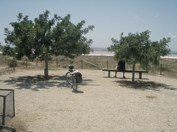
More traditional.
Itinerary
To begin the route, we go to "La Solana" soccer stadium, located on the Biar road, near the fire station. Opposite the access door to the new pavilion, we can see a signpost indicating "Resting Area No. 3". Here we set the distance meter to 0. We will pedal on dirt parallel to Sierra de la Villa for almost one kilometre. Later asphalt will be our companion for a good deal of the stretch.
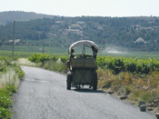
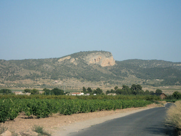
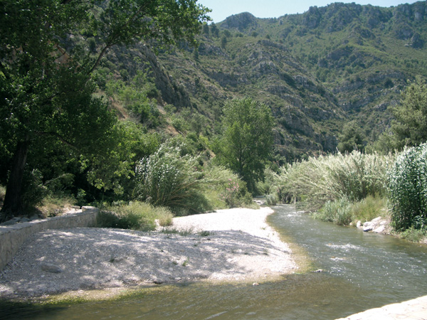
The route onto Biar is well adapted, with vertical signs and a resting area next to the bridge (3.47), from where we see, on the left, in the horizon, the Biar castle silhouette. Vineyards and almond trees are abundant on this stretch, which account for one of the main economical resources in the area. If we make this route in January, we can see people harvesting olives using the traditional stick system.
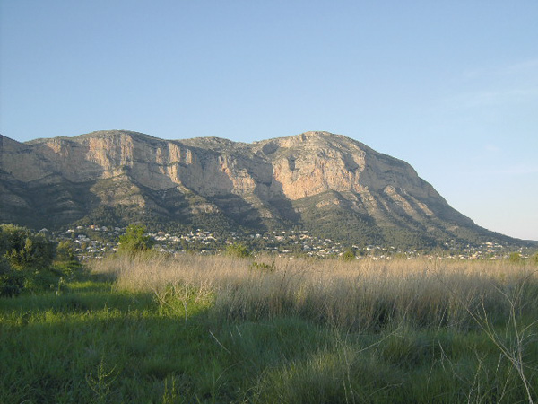
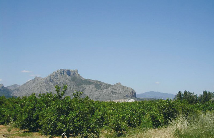
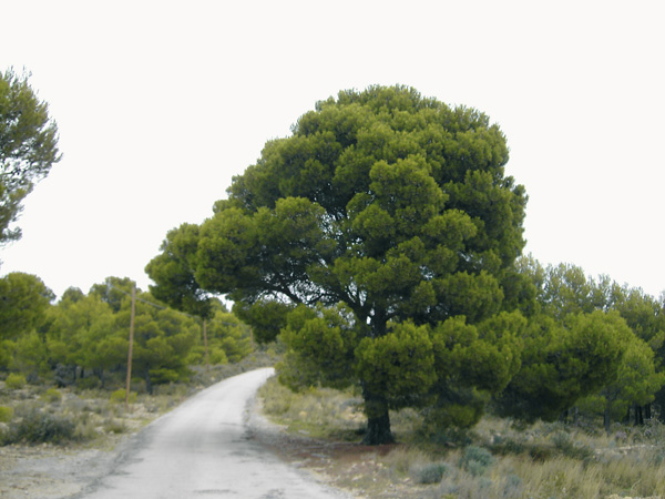
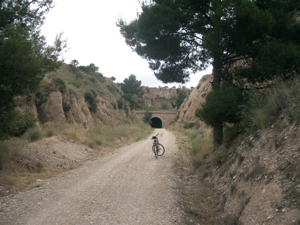
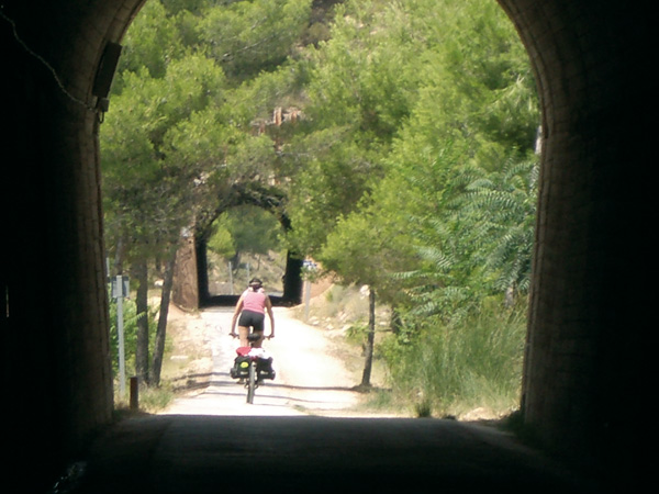
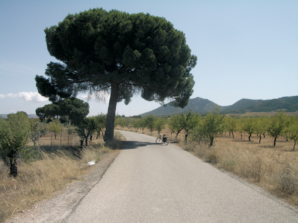
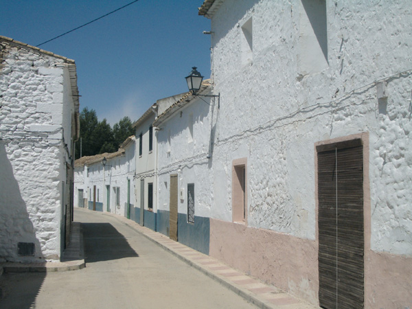
The ascent is gradual as far as Biar, as this location is located at 700 m, while Villena is at 500 m. Small pine groves appear here and there throughout the way offering their nice shade during warm weather. We leave behind an asphalted way on the right (5.33) and continue straight onto Biar. We reach a road (7.25). We have a building on the right, easily recognizable as an old train gatehouse. If we wish to visit Biar, we stop the distance meter here and go up along the cycle lane on the right for a little further than 1.5 km. The effort is worth it, as this small town of steep and narrow streets will amaze us with its history, interesting historical centre, and well preserved castle, declared National Monument. Once having visited it, we continue straight along the country lane passing by the Biar station, adapted nowadays as a private house. The lane is no longer marked from here on. We reach a road (9.85) and continue straight along the dirt track through a small pine grove. We find ourselves once more on the original design of the track melting into the horizon ever surrounded by olive fields. On our left, we see Beneixama at the feet of Sierra de La Solana and the Fontanella mountains.
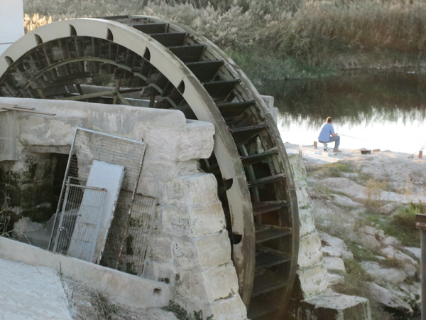
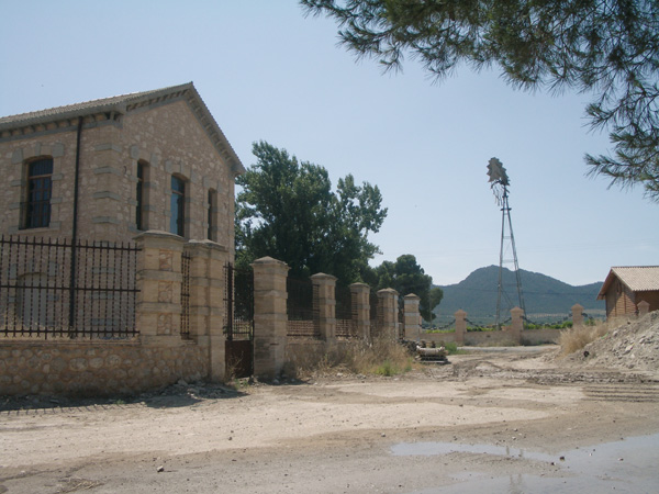
Llegamos al conjunto de lo que era la antigua estación de Beneixama (15,28) que estaba compuesta de almacenes, el apeadero y una destilería de orujo con apartadero propio. Hoy en día está siendo restaurado y pronto podremos disfrutar aquí de un albergue y un restaurante. Abandonamos la Vía Verde y nos dirigimos hacia la chimenea a la derecha por el camino asfaltado para visitar la apacible pedanía de El Salse. Vemos un pequeño lavadero a la derecha restaurado (15,53). Este camino tranquilo nos sorprende con diferentes casas de labor y fincas antiguas de grandes dimensiones con pinadas como el “Molí de LLuna” (16,14).
We arrive at the complex of what it was the old Beneixama station (15.28) made up of warehouses, a way-station and a liquor distillery with its own siding. Nowadays it is restored and soon we may enjoy here a shelter and a restaurant. We leave the greenway and proceed to the chimney on the right along the asphalted way to visit the pleasant municipal district of El Salse. We see a small restored washing place on the right (15.53). This peaceful way amazes us with different farm houses and old and large estates with pine tree groves such as "Molí de LLuna" (16.14).
Otherwise, we continue left surrounding the school and take the first asphalted way on the left (19.47). Always following this narrow way we reach a Stop signpost (20.73). Then we continue straight along a quiet way where farm houses are abundant.
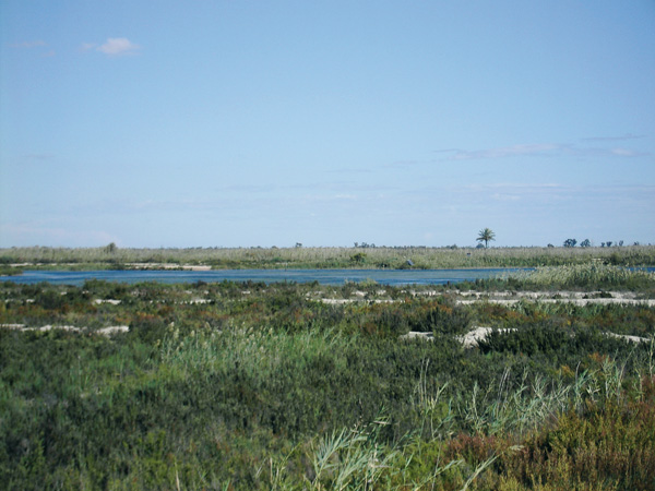
Soon the houses of Campo de Mirra start appearing in the background. We reach a Stop (22.07) and stop the distance meter to visit this town. To resume the route, we look for the old washing place and take the street on the left, starting the meter again at the sign banning speeds over 60 km/h. We reach a Stop signpost (24.65) and stop the distance meter to see Ca–ada. We continue right onto another Stop signpost (25.06). Then straight along the narrow motorway to the country house that we see in the background among the pine tree grove (25.67). We turn left on the motorway. Always on the main road we arrive at a crossroads (27.40) where we follow the sign to "Pou de la Vereda de Cascante". We reach another crossroads with a country house opposite on the left (28.15) and continue straight ahead. Amidst a quiet plain broken up on both sides by two mountains, we can see the Sierra de la Solana on the right and the Fontanella one on the left.
After passing the two water reservoirs on the left, we take the first way on the left (32.60). It is a narrow way leading us onto Villena. We reach a Stop signpost of the Villena-Ontinyent road (35.68) and continue right to enter at a few meters, past the roundabout, into the town of Villena (36.08).
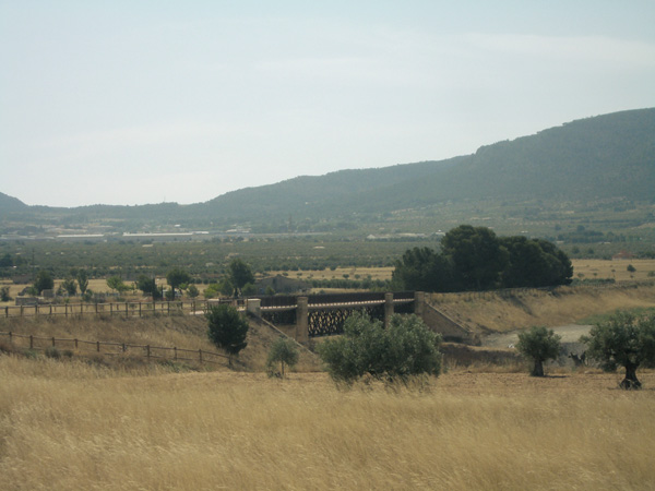
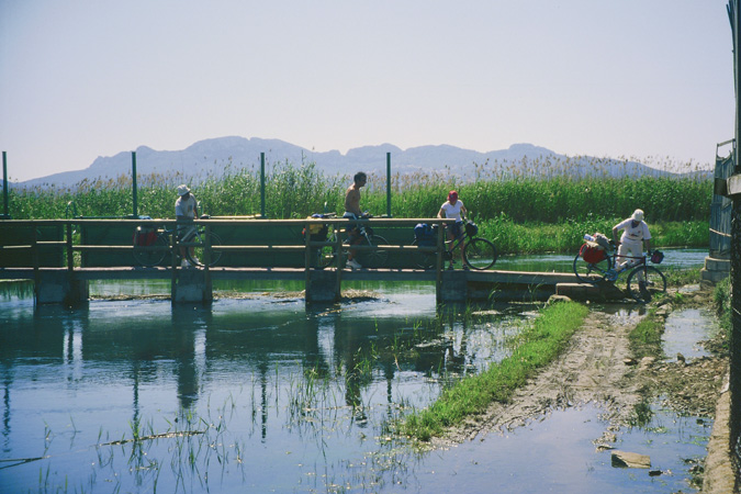
Bridge and resting area.
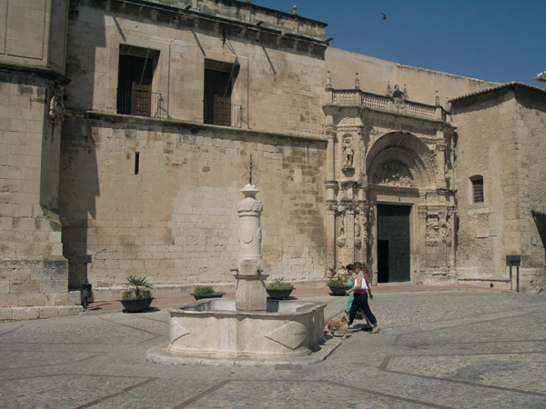
Plaza de la Constitución. Bar.
Beneixama Station
El Salse.