
Along the Hoya de Castalla and Alcoy's Greenway
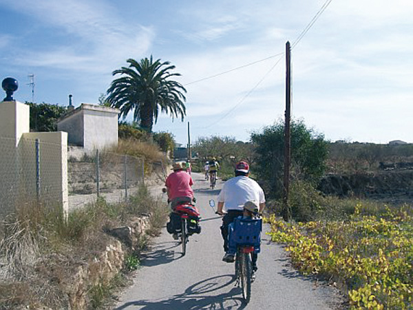
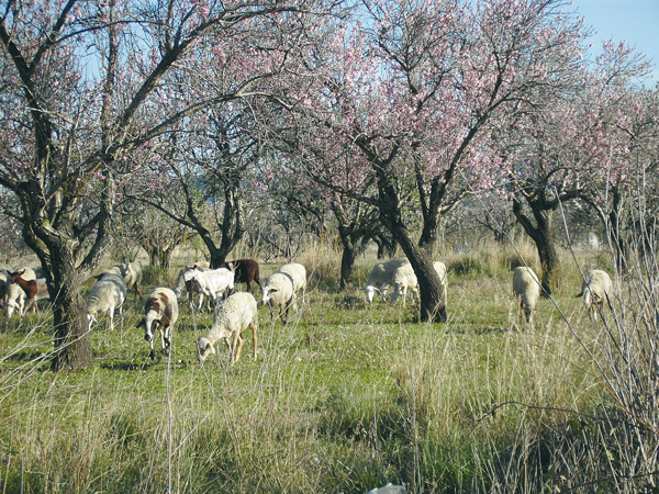
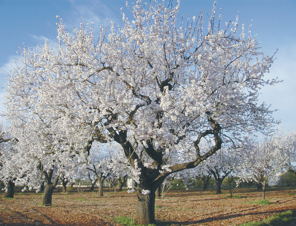
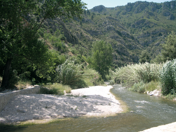
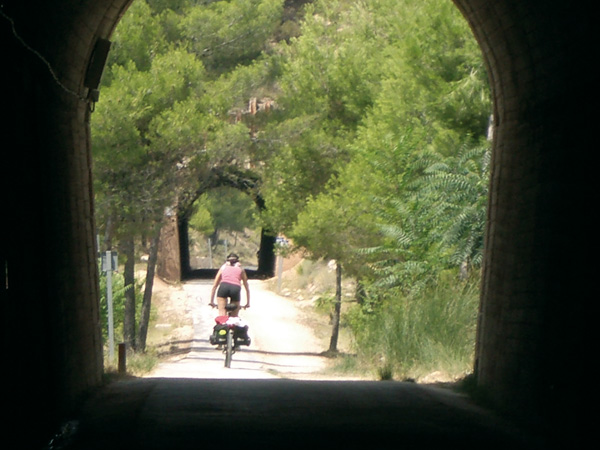
Starting off from Castalla, we start pedalling along country lanes that lead us among almond and olive trees as far as the toy capital city: Ibi. From here on, we keep along the former layout of the Alcoy-Alicante railway, adapted for a short lap as greenway, and then as cycle route linking us to the most beautiful and spectacular part of the journey: Alcoy's Greenway. This train track - had it not been for the civil war, the train would be a real fact now Ð allows us to enjoy today of arranged laps as the one we are going to follow. Among luxuriant pine tree groves and going through as many as eleven tunnels, we reach a gentle, 12-km long downward slope as far as this locality. After visiting its interesting old quarters, we can come back by train or by bus to our starting point, or else, link to the following route if we are touring around Alicante.
Itinerary
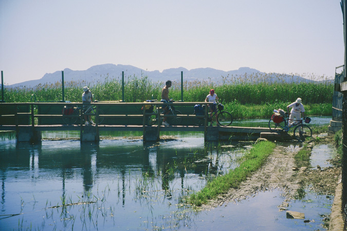
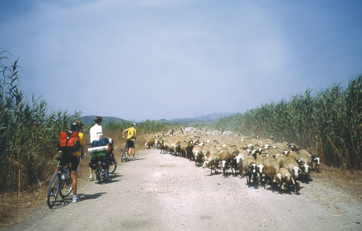
So as to start the route, we look for the junction of Avenida República Argentina and Avenida de Onil, just where we find the Monument to the Blood Donor. At the stop signpost, we set the distance meter to 0. We keep straight following the direction to the Sports Centre and Casa de la Espiritualidad. We turn left into calle Médico Trinidad Rivero (0.15). We keep along calle Ciutat Esportiva and then we take Corral del Pinet as far as the pine tree grove at the back. We keep riding over an old bridge (0.68) which crosses the former railway track and we go on along an asphalted bend on the left ignoring the way that stems out on the right (0.81). We reach a junction with a cross in the middle, and then we turn into the left (1.38) into the Camí Flores Cabezo Plá. We leave a bridge past over the motorway (1.69) and we take the second asphalted way on the right (1.96) where we find the molineta. We keep straight, in the beginning parallel to the motorway between country houses and dry-farmed crops. We always go along the main way.
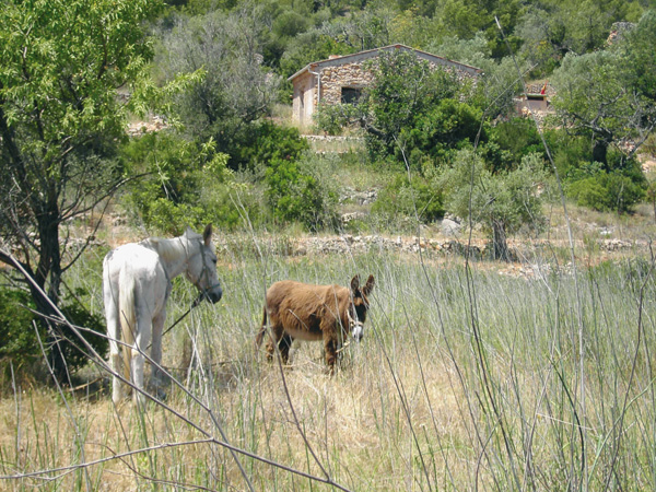
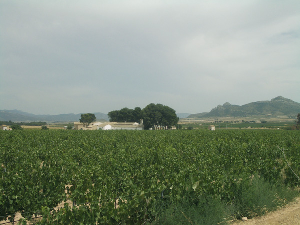
Greenway as it crosses Ibi.
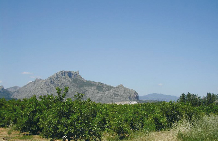
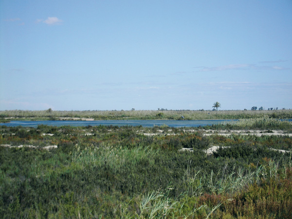
After a small slope (4.01) we will see a small pine tree grove, which we are heading for. We see Ibi in the background. We reach a crossroads with a signpost that reads "Bienvenidos a Ibi" (Welcome to Ibi) (5.81). We keep on the left and after a short way up, before reaching the road, we take again the old railway track on the right (6.66). We are riding parallel to Ibi road. We will reach a road (8.31) and we are to keep our left, going across the industrial estate along calle Granada as far as the stop road signpost (8.92). We turn left as far as a roundabout (9.04), and we keep on the road, on the left, to get into Ibi, where we can stop the distance meter at the first traffic lights (9.85) and visit the town. To resume the route, we leave the town along Avenida Juan Carlos I and we turn towards the cemetery along calle Virgen de los Desamparados, where we will run the distance meter again. We reach a roundabout (10.46) and we keep on the left on the way with the signpost "dirección prohibida excepto entrada a fábrica" (no entry except for access to the factory) (10.84). We will soon find anew the old railway layout, arranged for a short lap as Greenway. At the end of it, we will find a roundabout (12.33). If we pay attention, on the left, we will see a signpost stating this is the recreational area of San Pascual, through which we can access the town and Font Roja biological station (stop the distance meter). But if we wish to go on with the route, we shall follow the directions of route 4 (Alcoy).
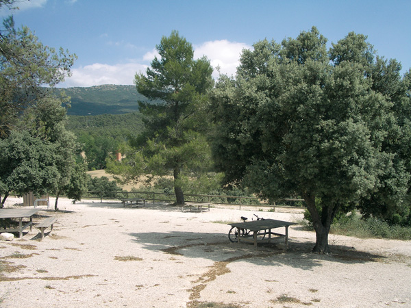
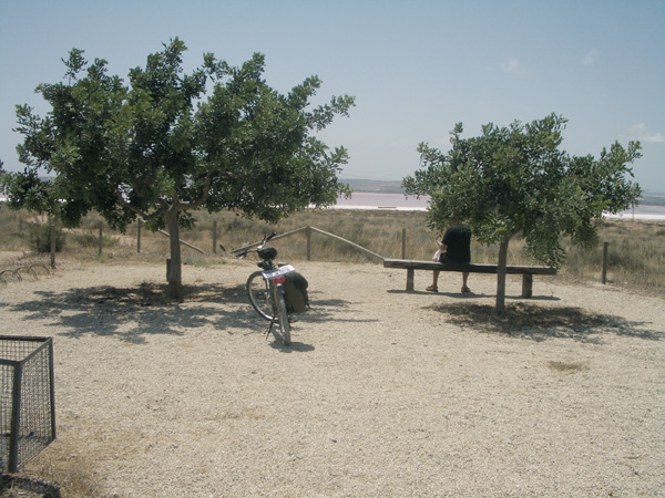
Rest area.
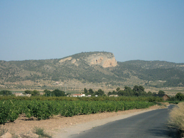
Camino de la Sírnia.
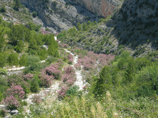
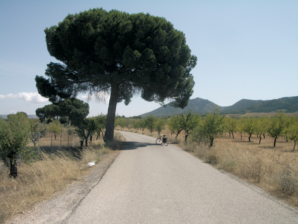
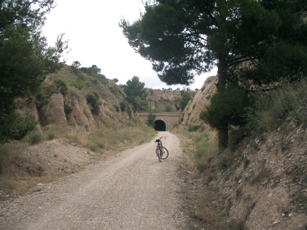
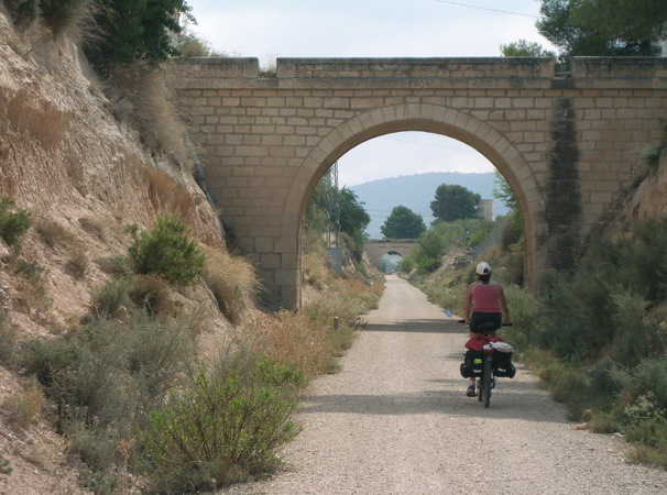
We will follow a service track at the following roundabout (12.61), turned into a cycle route, parallel to the motorway. Farther we will find two rest areas but, unfortunately, they are in a poor condition. Despite being near the motorway, the landscape is nice, with quite a lot of pine tree groves, fruit tree fields and large farm houses scattered all over the fields. We will reach a roundabout (19.20) and we will follow it on the right, in the direction to Jijona to further turn to the left, into a dirt track (19.59), following the directions to la Sinia. Some metres ahead, just where the electricity pylon is, we turn left (19.69), we will cross over a reservoir and we keep to the right. We will take the first dirt track on the left (19.87). We will soon link up with Alcoy Greenway, which is doubtless the most spectacular state of all the route as, apart from running amidst pine tree forests, we go through impressive tunnels and bridges in a gentle way down, 12 km long, as far as Alcoy (30.03), along Carrer Montdúver, in the neighbourhood of Batoi. On hot days, a nice surprise awaits us, since a little bit farther, after leaving behind a park on the left, we will see, hidden among some buildings and a five-a-side soccer pitch, a municipal swimming-pool that will make up for the effort made. (Note: those wishing to link up with the following route, have several trains a day for Cocentaina, the departure point of the route). It is not advisable to go by road as far as Cocentaina, as there is plenty of traffic and the former railway layout is cut by the motorway.
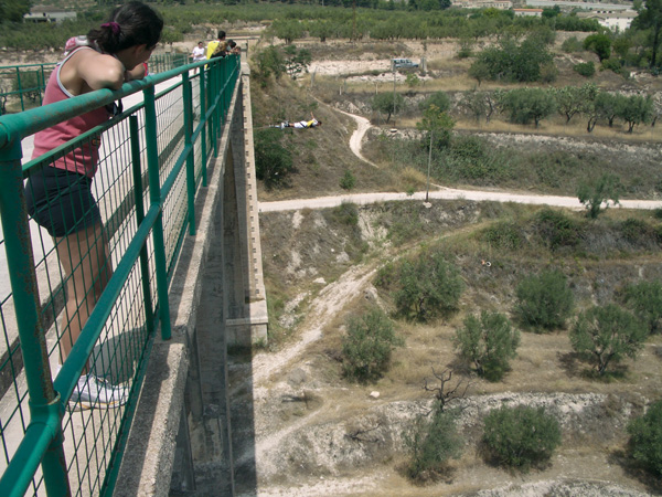
Bungee-jumping at Polop bridge.
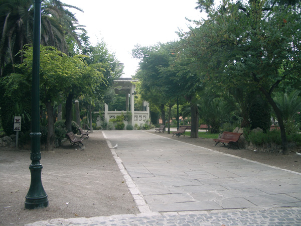
La Glorieta Park. Alcoy