From Benissa to Gata de Gorgos, through Paso de la Garganta
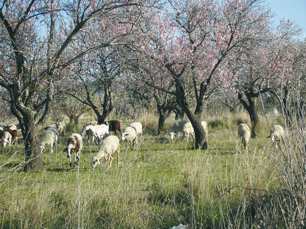
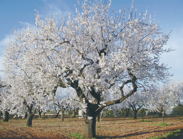
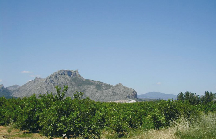
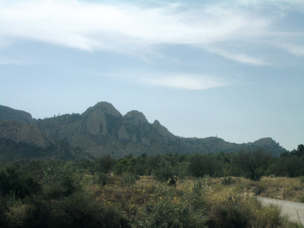
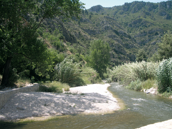
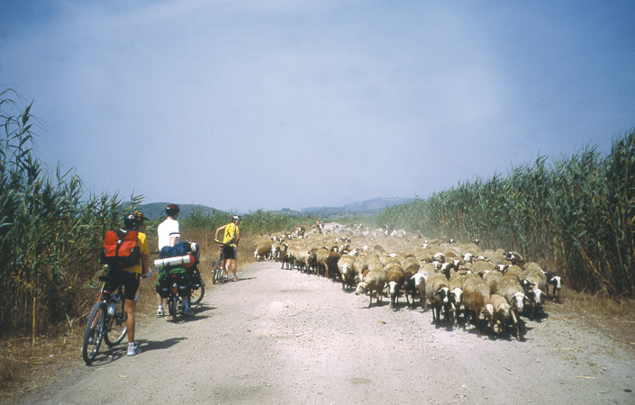
This route connects Benissa and Gata de Gorgos through the narrow pass between the mountains that separates these two towns, full of life and history. The route is a short one, although difficult in stony stretches. The only down side is that it is close motorway AP-7, whose route also passes through this gorge. As we ride, we will admire the remains of many a terrace built in old times along the mountainsides to expand the farming lands, as well as the traditional Òrius-rausÓ. The natural Mediterranean vegetation harmoniously combines with almond tree fields and vineyards, making this a most pleasant route to enjoy peacefulness and contact with nature.
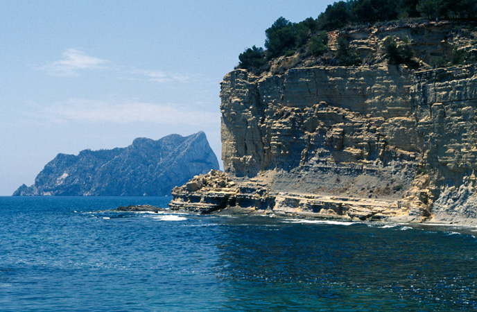
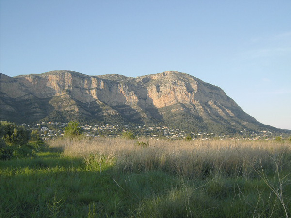
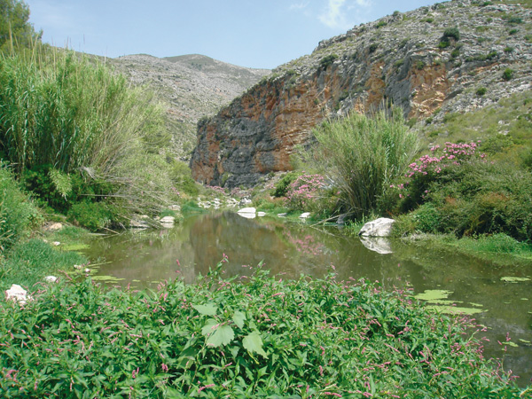
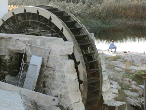
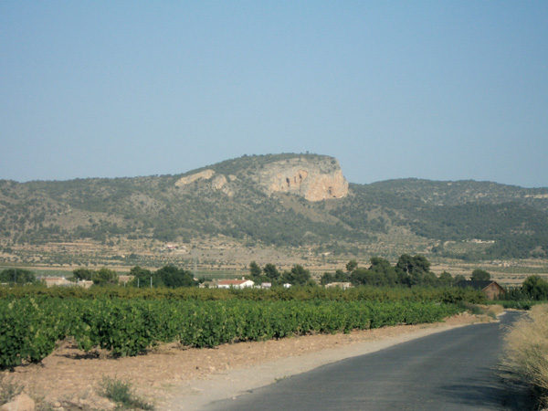
Gata Cliff
Itinerary
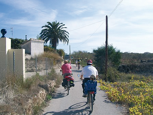
We set the distance meter to 0 at the platform and take the road towards Benissa. We turn left (0.23) along Moraira-Calpe road and take the first road on the right (0.33), where we can see a sign banning the access to vehicles over 7 tons. The ascent is somewhat hard but the views compensate for the effort. We move among traditional farms, vineyards and country houses merging with the scenery. We reach the zone known as Partida Bellita. The way down is somewhat steep and ends at a Stop signpost (1.50), and continues straight along the next street to enter Benissa. From the roundabout, we take Avinguda del País Valenciá going up to town and at the first traffic light (2.18) we turn right to go up Valencia street up to Plaza del Portal or the Town Hall, where we can visit the historical centre (stop distance meter).
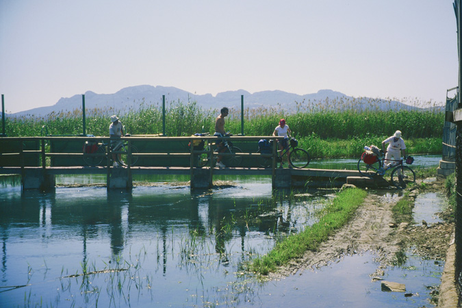
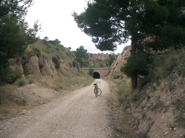
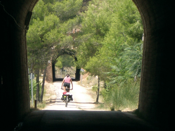
To resume the ride, we go down "Costera del Povil" street. We reach (2.66) Benissa-Senija road and continue a few metres left to turn right into "Camí Assegador Vell de Valencia" (2.77). Here we follow the red and white marks of a GR ("long route trail") and discover a number of large dimensions rius-raus. We come near the motorway and after a curve to the right we pass under a bridge, after which we take the road toward the cemetery (3.63) on the left. In spite the proximity of the motorway, located on our left, this road is quiet and surrounded by vineyards and small orchards. We leave the marks of the GR, which continues on the left, and the road on the right leading to the cemetery (4.00). We continue straight ahead, parallel to the motorway, along a small asphalted track deepening us each time into the mountains while the landscape turns more rugged. We come across terraced fields where plantations of carob, olive and almond trees alternate with small pine groves. The asphalted road continues (5.46) on the "Pou de Canor", a drinking water supply facility. From here, we ride on dirt, with stony stretches making this part of the route difficult. We pass under the motorway (5.95) and turn right. Shortly after, we continue straight ignoring the road on the left (6.13), passing once more under the motorway (6.61). The road becomes filled with loose stones again and may force us to dismount at any moment. We must also consider that, during rainy weather, it may be muddy and difficult to circulate along. The road condition improves (7.01) and we pass again under the motorway (8.41)
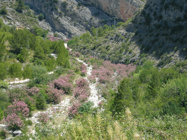
On the last kilometres, the route runs embedded among mountains as we enjoy the view of mastic trees and blackberry bushes, as well as the aroma of rosemary and thyme. We arrive at a road (8.86) and continue on the left among fields of almond trees and an intensely red soil. We come out on the Gata de Gorgos-LLíber road (9.43) and turn right. We pass again under the motorway (11.57) and a little further, we enter Gata de Gorgos (13.76).
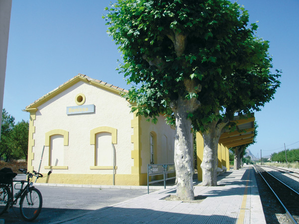
Benissa Station.
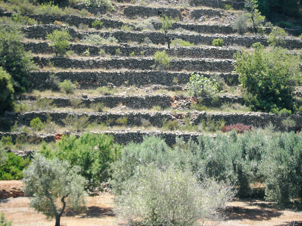
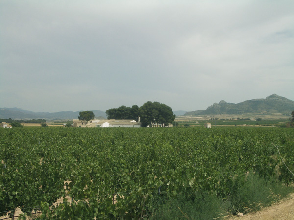
Terraces.
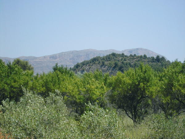
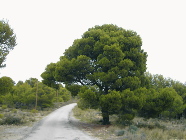
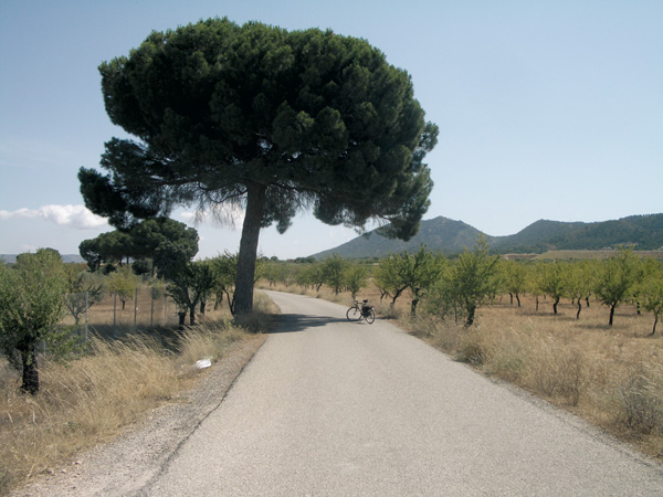
Crops among pine groves
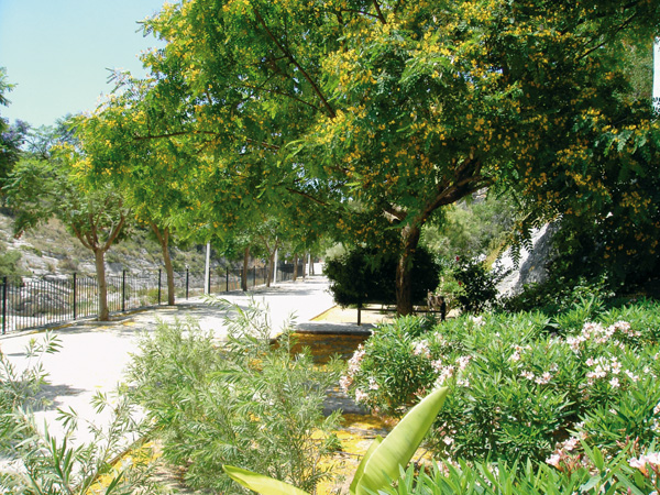
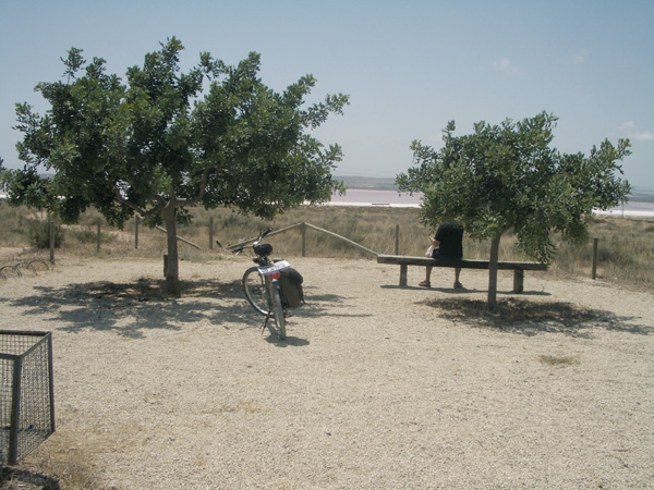
Municipal Park, Gata de Gorgos.