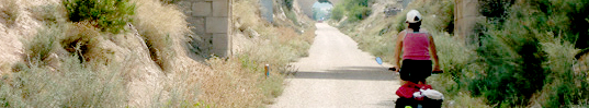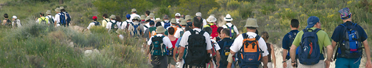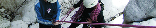
Desde esta página podrá acceder a toda la información, sobre los Senderos existentes en la Provincia de Alicante, en tierra o bajo el mar. Descubrirá la belleza de nuestros paisajes, buceando junto a morenas y erizos de mar o disfrutando de un agradable paseo a pie o en bici.
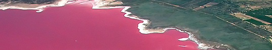
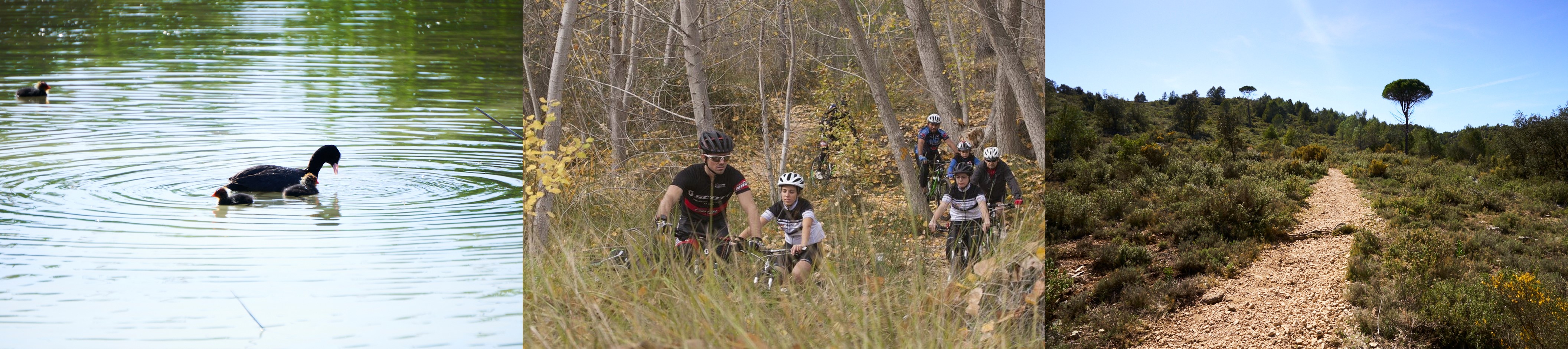
Si algo caracteriza a la provincia de Alicante es la diversidad de sus paisajes, sus pueblos y sus tradiciones culturales, que atraen a miles de visitantes a lo largo del año, convirtiendo nuestra variada geografía en destino medioambiental de primer orden. La nuestra es tierra de mar, de montañas, bosques, humedales… una provincia que atesora gran diversidad en sus municipios y en sus gentes. Desde la Diputación de Alicante, esperamos que esta herramienta de difusión de nuestro medio natural, les sirva para descubrir la gran riqueza de nuestro patrimonio natural y cultural. Con los Itinerarios Ambientales que les sugerimos, queremos seguir ampliando y mejorando un ilusionante proyecto, haciéndolo más accesible y dinámico para que todos podamos conocer lo mejor de Alicante.